Near McLean in Fairfax County, Virginia — The American South (Mid-Atlantic)
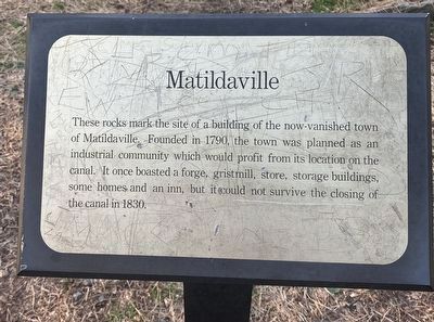
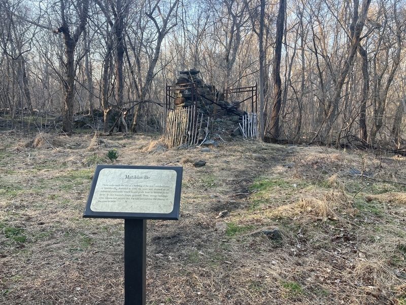
Matildaville
Topics. This historical marker is listed in these topic lists: Industry & Commerce • Settlements & Settlers • Waterways & Vessels. A significant historical year for this entry is 1790.
Location. 38° 59.525′ N, 77° 15.149′ W. Marker is near McLean, Virginia, in Fairfax County. Marker can be reached from Old Dominion Drive (County Route 738) one mile north of Georgetown Pike (Route 193). Located on the Matildaville Trail, Great Falls Park. Touch for map. Marker is at or near this postal address: 9200 Old Dominion Drive, Mc Lean VA 22102, United States of America. Touch for directions.
Other nearby markers. At least 8 other markers are within walking distance of this marker. The Company House (about 700 feet away, measured in a direct line); The Patowmack Canal (about 700 feet away); Floods at Great Falls (approx. 0.2 miles away); Great Falls Canal and Locks (approx. 0.2 miles away); Mather Gorge (approx. 0.2 miles away); a different marker also named Patowmack Canal (approx. 0.2 miles away); People and the Potomac (approx. ¼ mile away); River of Change (approx. ¼ mile away). Touch for a list and map of all markers in McLean.
Also see . . . Great Falls Park. National Park Service (Submitted on March 23, 2022.)
Credits. This page was last revised on March 23, 2022. It was originally submitted on March 22, 2022, by Connor Olson of Kewaskum, Wisconsin. This page has been viewed 129 times since then and 26 times this year. Photos: 1, 2. submitted on March 22, 2022, by Connor Olson of Kewaskum, Wisconsin. • Bernard Fisher was the editor who published this page.

