
Brownsville in Haywood County, Tennessee — The American South (East South Central)
First United Methodist Church
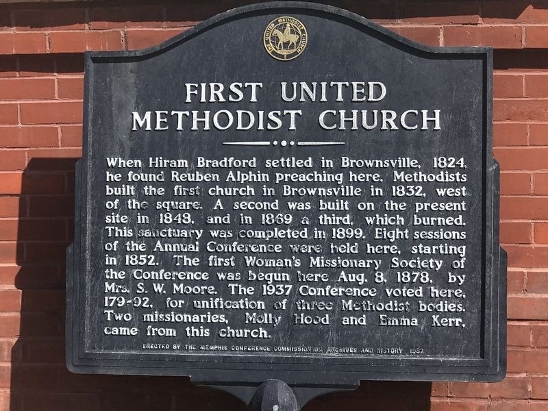
Photographed by Duane and Tracy Marsteller, March 20, 2022
1. First United Methodist Church Marker
Erected 1987 by Memphis Conference Commission on Archives and History.
Topics. This historical marker is listed in this topic list: Religion & Religious Structures. A significant historical year for this entry is 1832.
Location. 35° 35.7′ N, 89° 15.658′ W. Marker is in Brownsville, Tennessee, in Haywood County. It is at the intersection of North Jackson Avenue and East Franklin Street, on the right when traveling north on North Jackson Avenue. Touch for map. Marker is at or near this postal address: 117 E Franklin
this page online

Regionally, this marker is in West Tennessee. It is also in the American South, specifically in the Deep South, and specifically in the Upper South. Globally, it is in North America, the Western Hemisphere, the Western World, and the Anglosphere. Historically, it finds itself in what was once the territory of the Mississippian Culture, one of the Confederate States of America, and the Antebellum South.
Other nearby markers. At least 8 other markers are within walking distance of this marker: Hutchison-Elcan-Lynn (about 400 feet away, measured in a direct line); Gen. Jacob Jennings Brown (about 400 feet away); Zion Church (about 400 feet away); The Twenty (about 400 feet away); Elbert Williams (about 400 feet away); Felsenthal's (about 400 feet away); Temple Adas Israel (about 500 feet away); First National Bank (about 500 feet away). Touch for a list and map of all markers in Brownsville.
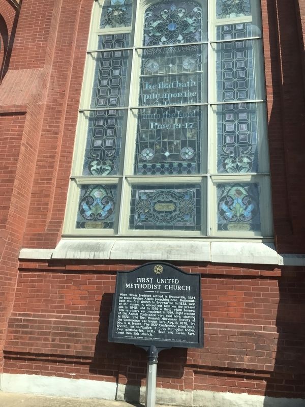
Photographed by Duane and Tracy Marsteller, March 20, 2022
2. First United Methodist Church Marker
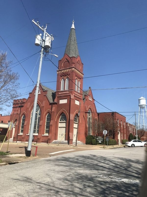
Photographed by Duane and Tracy Marsteller, March 20, 2022
3. First United Methodist Church
The current sanctuary, the church's fourth, was built in 1899.
Credits. This page was last revised on March 23, 2022. It was originally submitted on March 23, 2022, by Duane and Tracy Marsteller of Murfreesboro, Tennessee. This page has been viewed 395 times since then and 16 times this year. Photos: 1, 2, 3. submitted on March 23, 2022, by Duane and Tracy Marsteller of Murfreesboro, Tennessee.
