Frankfort in Franklin County, Kentucky — The American South (East South Central)
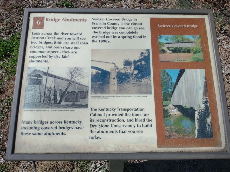
Bridge Abutments
Switzer Covered Bridge
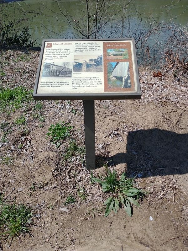
Many bridges across Kentucky, including covered bridges have these same abutments.
Switzer Covered Bridge in Franklin County is the closest covered bridge you can go see. The bridge was completely washed out by a spring flood in the 1990's.
The Kentucky Transportation Cabinet provided the funds for its reconstruction, and hired the Dry Stone Conservancy to build the abutments that you see today.
Photo captions: Left: Covered bridge at Cynthiana, Kentucky. Courtesy Kentucky Historical Society.
Middle: Curly Distillery at Camp Nelson Bridge, Jessamine County, Kentucky, ca. 1905. Courtesy Kentucky Historical Society. (Marker Number 6.)
Topics and series. This historical marker is listed in this topic list: Bridges & Viaducts. In addition, it is included in the Covered Bridges series list. A significant historical year for this entry is 1905.
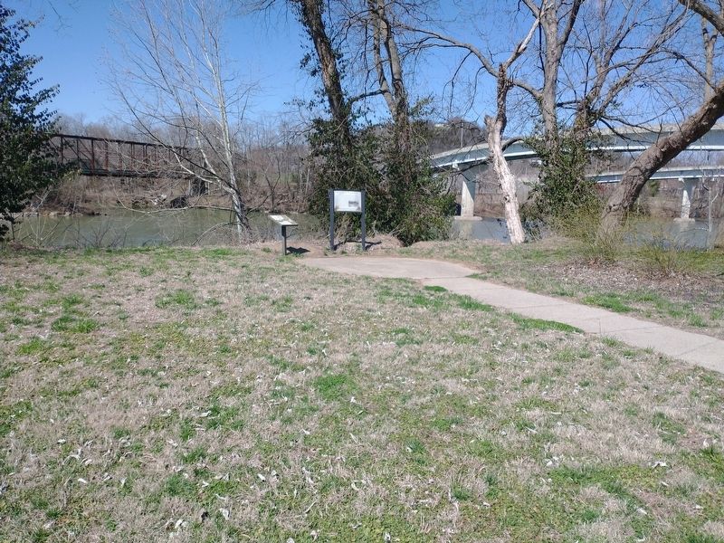
Location. 38° 12.146′ N, 84° 52.848′ W. Marker is in Frankfort, Kentucky, in Franklin County. Marker is on Wilkinson Boulevard, on the right when traveling south. Located in River View Park close to the Kentucky River. Touch for map. Marker is in this post office area: Frankfort KY 40601, United States of America. Touch for directions.
Other nearby markers. At least 8 other markers are within walking distance of this marker. The Kentucky River Today (here, next to this marker); The Kentucky (within shouting distance of this marker); Capital on the Kentucky (within shouting distance of this marker); The Kentucky River Authority (within shouting distance of this marker); Franks Ford, Fishtrap Island, and Craw (about 300 feet away, measured in a direct line); Farm Entryway and Pillar (about 400 feet away); Turnpike Era Fence (about 400 feet away); The R. T. Brooks Pavilion (about 400 feet away). Touch for a list and map of all markers in Frankfort.
Credits. This page was last revised on March 25, 2022. It was originally submitted on March 25, 2022, by Craig Doda of Napoleon, Ohio. This page has been viewed 103 times since then and 13 times this year. Photos: 1, 2, 3. submitted on March 25, 2022, by Craig Doda of Napoleon, Ohio. • Mark Hilton was the editor who published this page.


