Frankfort in Franklin County, Kentucky — The American South (East South Central)
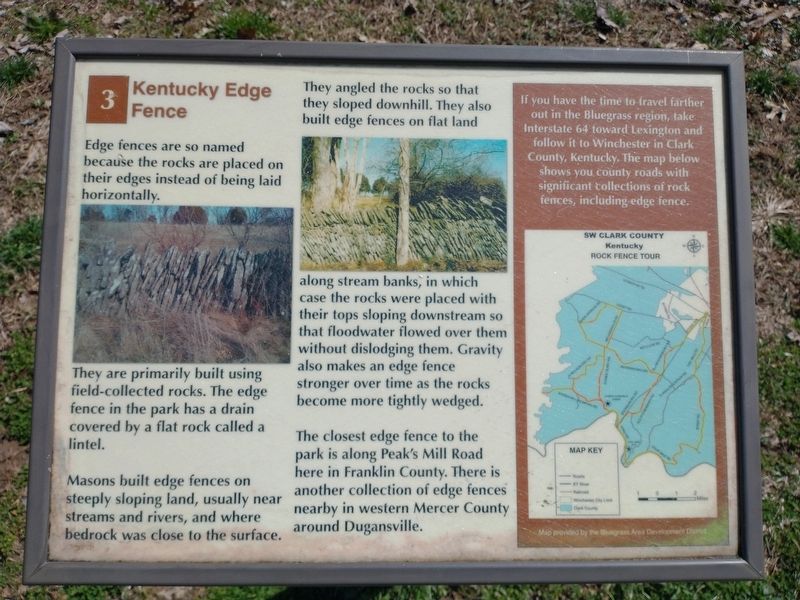
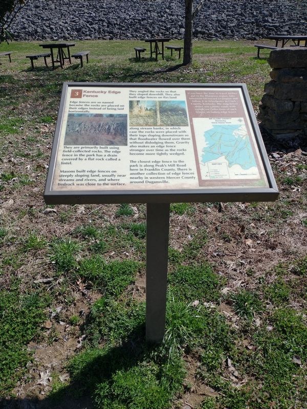
Kentucky Edge Fence
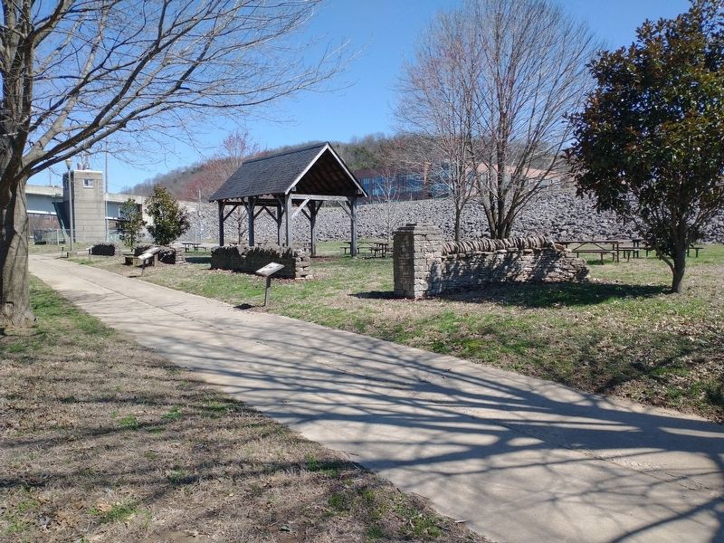
They are primarily built using field-collected rocks. The edge fence in the park has a drain covered by a flat rock called a lintel.
Masons built edge fences on steeply sloping land, usually near streams and rivers, and where bedrock was close to the surface.
They angled the rocks so that they sloped downhill. They also built edge fences on flat land along stream banks, in which case the rocks were placed with their tops sloping downstream so that floodwater flowed over them without dislodging them. Gravity also makes an edge fence stronger over time as the rocks become more tightly wedged.
The closest edge fence to the park is along Peak's Mill Road here in Franklin County. There is another collection of edge fences nearby in western Mercer County around Dugansville.
If you have the time to travel farther out in the Bluegrass region, take Interstate 64 toward Lexington and follow it to Winchester in Clark County, Kentucky. The map below shows you county roads with significant collections of rock fences, including edge fence. (Marker Number 3.)
Topics. This historical marker is listed in this topic list: Architecture.
Location. 38° 12.202′ N, 84° 52.777′ W. Marker is in Frankfort, Kentucky, in Franklin County. Marker is on Wilkinson Boulevard, on the right when traveling south. Located in River View Park. Touch for map. Marker is in this post office area: Frankfort KY 40601, United States of America. Touch for directions.
Other nearby markers. At least 8 other markers are within walking distance of this marker. Plantation Era Fence (here, next to this marker); The R. T. Brooks Pavilion (a few steps from this marker); Turnpike Era Fence (a few steps from this marker); Farm Entryway and Pillar (within shouting distance of this marker); Franks Ford, Fishtrap Island, and Craw (within shouting distance of this marker); List of CSO Points in Frankfort (within shouting distance of this marker); History of Kentucky's Formation (about 300 feet away, measured in a direct line); Kentucky River Water Trail (about 300 feet away). Touch for a list and map of all markers in Frankfort.
Credits. This page was last revised on March 26, 2022. It was originally submitted on March 25, 2022, by Craig Doda of Napoleon, Ohio. This page has been viewed 322 times since then and 17 times this year. Photos: 1, 2, 3. submitted on March 25, 2022, by Craig Doda of Napoleon, Ohio. • Mark Hilton was the editor who published this page.


