Frankfort in Franklin County, Kentucky — The American South (East South Central)
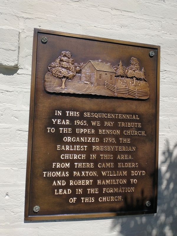
Upper Benson Church Sesquicentennial
Topics. This historical marker is listed in this topic list: Churches & Religion. A significant historical year for this entry is 1965.
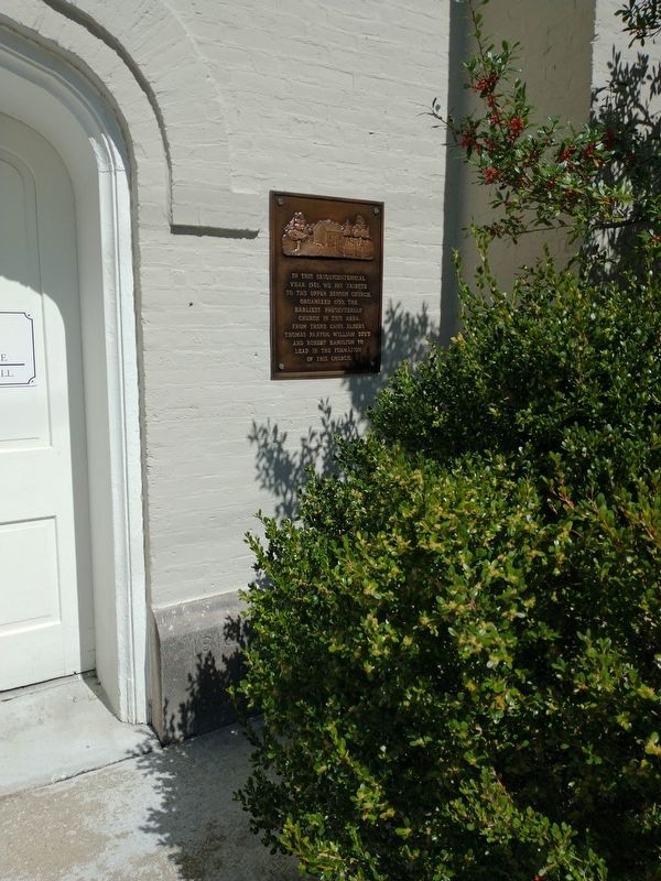
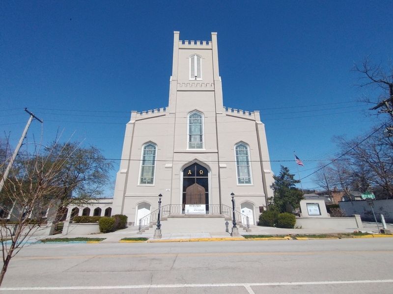
Location. 38° 11.978′ N, 84° 52.806′ W. Marker is in Frankfort, Kentucky, in Franklin County. Marker is at the intersection of West Main Street and Long Lane, on the left when traveling east on West Main Street. Touch for map. Marker is at or near this postal address: 416 W Main St, Frankfort KY 40601, United States of America. Touch for directions.
Other nearby markers. At least 8 other markers are within walking distance of this marker. First Presbyterian Church (here, next to this marker); Garrard/Crittenden House (within shouting distance of this marker); Crittenden House / An Eminent Statesman (within shouting distance of this marker); Lafayette's Tour (within shouting distance of this marker); Liberty Hall / John Brown (1757-1837) (about 300 feet away, measured in a direct line); Liberty Hall (about 300 feet away); Macklin House (about 300 feet away); Chapman Coleman Todd House (about 300 feet away). Touch for a list and map of all markers in Frankfort.
Credits. This page was last revised on March 26, 2022. It was originally submitted on March 25, 2022, by Craig Doda of Napoleon, Ohio. This page has been viewed 55 times since then and 8 times this year. Photos: 1, 2, 3. submitted on March 25, 2022, by Craig Doda of Napoleon, Ohio. • Mark Hilton was the editor who published this page.


