Independence in Defiance County, Ohio — The American Midwest (Great Lakes)
Two Canals
Anthony Wayne Parkway
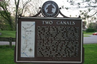
This marker is on the trunk line of both the Miami & Erie Canal and the Wabash & Erie Canal. The Miami & Erie Canal, built by Ohio, was begun on July 21, 1825 and completed in 1845. It connected the Ohio River at Cincinnati with Lake Erie at Toledo. By the time the canal reached the Maumee Valley, the Wabash & Erie had already been projected from Fort Wayne to Toledo. At Junction, some 15 miles southwest of here, the two canals joined and became one.
Indiana built the Wabash & Erie Canal from Evansville on the Ohio River to Toledo on Lake Erie. It was begun on February 22, 1832, a date which honored George Washington who first had suggested the construction of canals in this region. When finished in 1856, it was 458 miles long and one of the longest canals built. By the time of the Civil War, the canals were being superseded by the swifter, more dependable railroads. Section by section, the canals were abandoned. In the early 1900’s, the colorful period of the canals came to an end.
Erected 1954 by Fort Defiance Chapter, Daughters of the American Revolution.
Topics and series. This historical marker is listed in these topic lists: Industry & Commerce • Waterways & Vessels. In addition, it is included in the Daughters of the American Revolution, the The Miami & Erie Canal, and the Wabash & Erie Canal series lists. A significant historical month for this entry is February 1777.
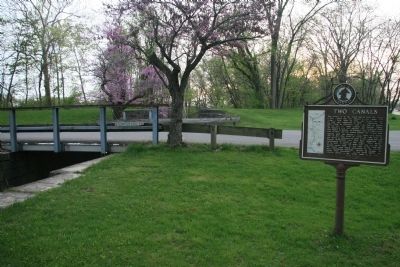
Location. 41° 17.576′ N, 84° 17.034′ W. Marker is in Independence, Ohio, in Defiance County. Marker is at the intersection of Ohio Route 424 and Independence Road, on the left when traveling west on State Route 424. This historical marker is located just east of Independence, Ohio along what is left of the old Wabash & Erie and Miami & Erie Canal (between the Maumee River and State Route 424). Touch for map. Marker is in this post office area: Independence OH 44131, United States of America. Touch for directions.
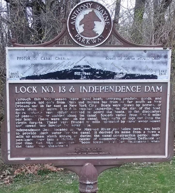
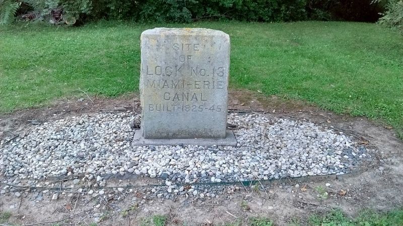
Other nearby markers. At least 8 other markers are within 3 miles of this marker, measured as the crow flies. Lock No. 13 & Independence Dam / Two Canals (here, next to this marker); Site of Lock No. 13 (within shouting distance of this marker); You Are On The Buckeye Trail (approx. ¼ mile away); 70 Vet Survivors of C.C.C. Memorial (approx. ¼ mile away); Kentucky & Ohio Soldiers Memorial (approx. 1.1 miles away); Winchester's Camp No. 3/Fort Starvation / The Old Kentucky Burial Grounds (approx. 1.1 miles away); Fort Starvation
(approx. 1.1 miles away); Site Of Mamie - Bessie Nagel Farm (approx. 2.1 miles away). Touch for a list and map of all markers in Independence.
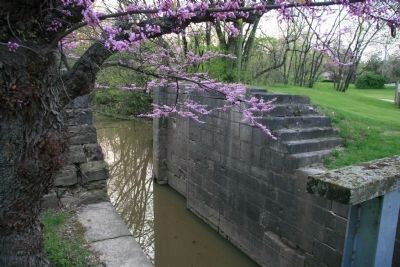
More about this marker. This historical marker is situated at the location of canal lock number #13, very near the Indepenence Dam.
Credits. This page was last revised on April 19, 2022. It was originally submitted on May 28, 2009, by Dale K. Benington of Toledo, Ohio. This page has been viewed 1,582 times since then and 19 times this year. Photos: 1, 2, 3. submitted on May 28, 2009, by Dale K. Benington of Toledo, Ohio. 4. submitted on January 29, 2021, by Craig Doda of Napoleon, Ohio. 5. submitted on March 10, 2019, by Tom Bosse of Jefferson City, Tennessee. 6. submitted on November 29, 2019, by Tom Bosse of Jefferson City, Tennessee. • Craig Swain was the editor who published this page.
