McClure in Henry County, Ohio — The American Midwest (Great Lakes)
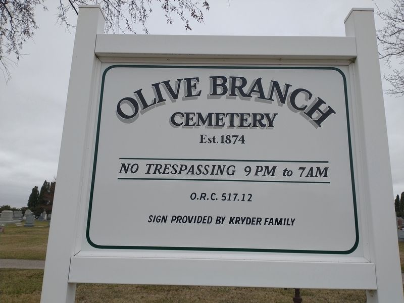
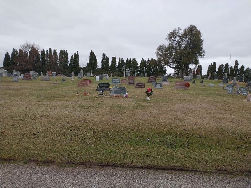
Olive Branch Cemetery
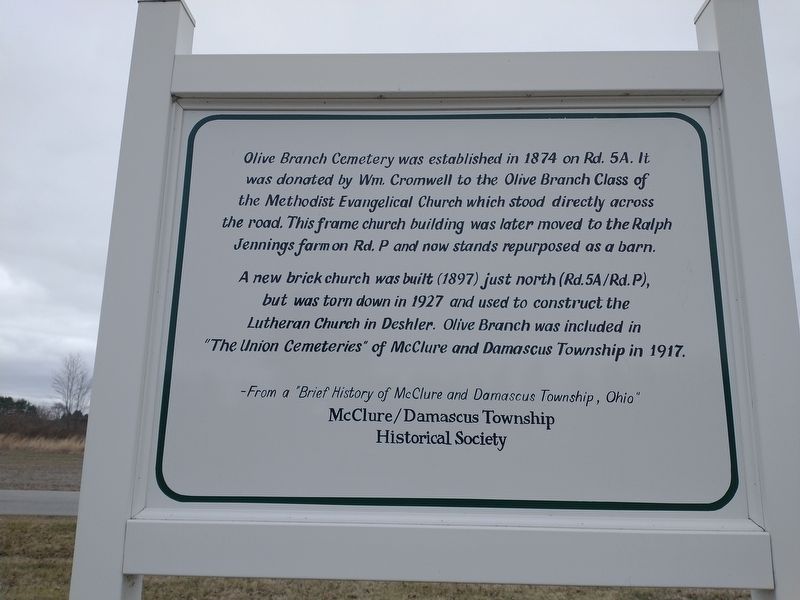
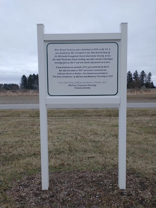
Olive Branch Cemetery was established in 1874 on Rd. 5A. It was donated by Wm. Cromwell to the Olive Branch Class of the Methodist Evangelical Church which stood directly across the road. This frame church building was later moved to the Ralph Jennings farm on Rd. P and now stands repurposed as a barn.
A new brick church was built (1897) just north (Rd.5A/Rd. P), but was torn down in 1927 and used to construct the Lutheran Church in Deshler. Olive Branch was included in "The Union Cemeteries” of McClure and Damascus Township in 1917.
-From a "Brief History of McClure and Damascus Township, Ohio" McClure/Damascus Township Historical Society
Erected by McClure/Damascus Township Historical Society.
Topics. This historical marker is listed in these topic lists: Cemeteries & Burial Sites • Churches & Religion. A significant historical year for this entry is 1874.
Location. 41° 23.01′ N, 83° 58.245′ W. Marker is in McClure, Ohio, in Henry County. Marker is on County Road 5A, 0.2 miles south of County Road P, on the left when traveling north. Touch for map. Marker is at or near this postal address: 5 Co Rd 5A, Mc Clure OH 43534, United States of America. Touch for directions.
Other nearby markers. At least 8 other markers are within 5 miles of this marker, measured as the crow flies. Lest We Forget (approx. 1.9 miles away); Prairie des Mascoutins / Damascus (approx. 2.8 miles away); Grelton Veterans Memorial (approx. 3 miles away); James Durbin (approx. 3 miles away); Texas Veterans Memorial (approx. 3.3 miles away); Laskey Family Hickory Grove (approx. 4 miles away); Liberty Center (approx. 4.1 miles away); Site of Rice Lock 42 (approx. 4.2 miles away).
Credits. This page was last revised on March 30, 2022. It was originally submitted on March 28, 2022, by Craig Doda of Napoleon, Ohio. This page has been viewed 173 times since then and 22 times this year. Photos: 1, 2, 3, 4. submitted on March 28, 2022, by Craig Doda of Napoleon, Ohio. • Devry Becker Jones was the editor who published this page.


