Lexington in Fayette County, Kentucky — The American South (East South Central)
Pisgah
National Register Rural Historic District
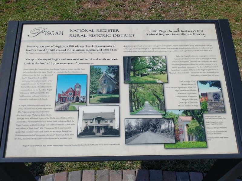
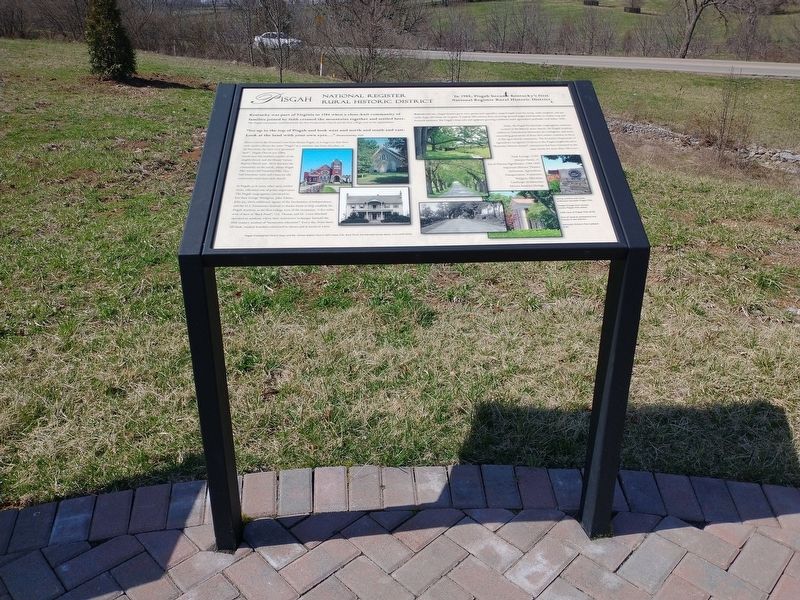
Kentucky was part of Virginia in 1784 when a close-knit community of families joined by faith crossed the mountains together and settled here. The Pisgah community established both the first Presbyterian Church and the first college west of the Appalachians.
"Go up to the of Pisgah and look west and north and south and east. Look at the land with your own eyes....” Deuteronomy 3:27
Moses viewed the Promised Land from Mount Pisgah, so it rings true that these early settlers choose the name "Pisgah” as a reminder that from this place, in all directions, lay their own "promised land". Pisgah Church (est.1784) stands near the southern reaches of the neighborhood, and the Mount Vernon Baptist Church (est. 1822) brackets the community on the north, where Pisgah Pike meets Old Frankfort Pike. Dry- laid limestone walls and centuries-old cemeteries stand near each church.
In Pisgah, as in many other early settled areas, education was of prime importance. The Pisgah congregation convinced no less than George Washington, John Adams, John Jay, three additional signers of the Declaration of Independence, and the U.S. Postmaster General to donate funds to help establish the Pisgah Academy as the first college west of the mountains. A few miles west of here at "Buck Pond", Col. Thomas and Dr. Louis Marshall operated an academy where their instructive technique foretold the 20th century method of "immersion education". Every day, from dawn till dusk, student boarders conversed in classes and at meals in Latin.
Pisgah Presbyterian Church (top), and Mt. Vernon Baptist Church (left) today (CA). Buck Pond, the Marshall house above, circa 1940 (KHS).
Agrarians All, Pisgah farmers grew corn, grains and vegetables, tapped maple trees for syrup, made sorghum, and put cattle, hogs, and sheep out to graze. A typical 18th century farm on average ground might need decades to realize livestock surpluses. But Pisgah's deep soils and optimum growing conditions made agriculture profitable well before 1820.
Today, the Pisgah Presbyterian congregation continues to meet in the historic stone church, the Pisgah Academy endures as Transylvania University (in Lexington), and many succeeding generations of those first settlers continue to farm in this agricultural community. The Kentucky Department of Agriculture recognizes 25 farms in the Pisgah neighborhood as "Kentucky Historic Farms"- enterprises that have remained in the same family for more than 100 years.
Total Acreage: 3,702
Historic Farms: 15
Era of Historic Significance: 1784-1945
Important Historic Themes:
Settlement, Agriculture, Historic Transportation, Commerce, Religion, Education, Bicentennial Landscape Architecture, African-American Heritage.
Spring outflow and stock underpass beneath Pisgah Pike.
Osage Orange tree canopy covers Pisgah Pike today.
1936 view of Pisgah Pike (KHS) One of several settlement-era homes in the District.
Kentucky Historic Farm plaque (CA)
Topics. This historical marker is listed in these topic lists: Churches & Religion • Settlements & Settlers. A significant historical year for this entry is 1988.
Location. 38° 4.121′ N, 84° 33.474′ W. Marker is in Lexington, Kentucky, in Fayette County. Marker is at the intersection of Old Frankfort Pike and Alexandria Drive, on the right when traveling east on Old Frankfort Pike. Located at the Old Frankfort Pike Scenic Overlook. Touch for map. Marker is at or near this postal address: 2450 Old Frankfort Pike, Lexington KY 40510, United States of America. Touch for directions.
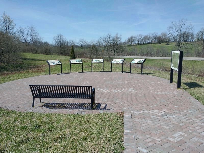
Other nearby markers. At least 8 other markers are within walking distance of this marker. The Big Sink (here, next to this marker); Redd Road (here, next to this marker); Lexington-Frankfort Scenic Corridor Area (here, next to this marker); Nugent's Crossroad - Midway - Wallace Station (here, next to this marker); The West Fayette County (a few steps from this marker); Idle Hour Farm (a few steps from this marker); Gentlemen Farmers and Burley Tobacco (within shouting distance of this marker); Breed Only The Best (within shouting distance of this marker). Touch for a list and map of all markers in Lexington.
Credits. This page was last revised on April 5, 2022. It was originally submitted on March 28, 2022, by Craig Doda of Napoleon, Ohio. This page has been viewed 299 times since then and 60 times this year. Photos: 1, 2, 3. submitted on March 28, 2022, by Craig Doda of Napoleon, Ohio. • Mark Hilton was the editor who published this page.


