Mansfield in Tarrant County, Texas — The American South (West South Central)
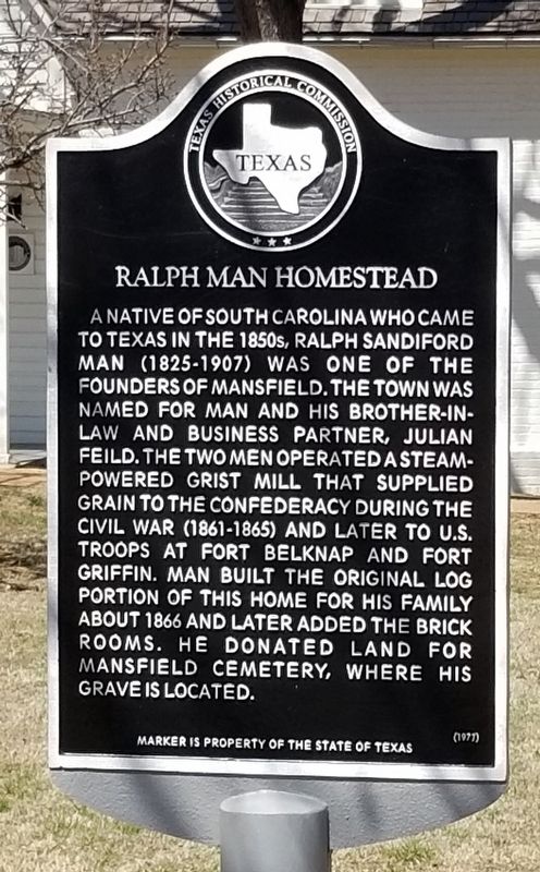
Ralph Man Homestead
Erected 1977 by Texas Historical Commission. (Marker Number 4172.)
Topics. This historical marker is listed in these topic lists: Agriculture • Industry & Commerce • Settlements & Settlers. A significant historical year for this entry is 1866.
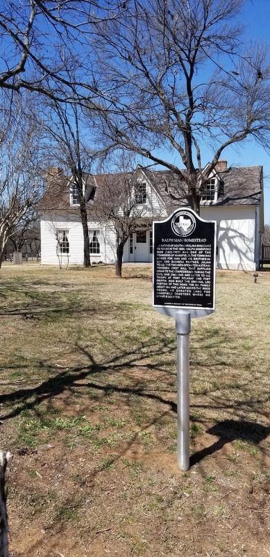
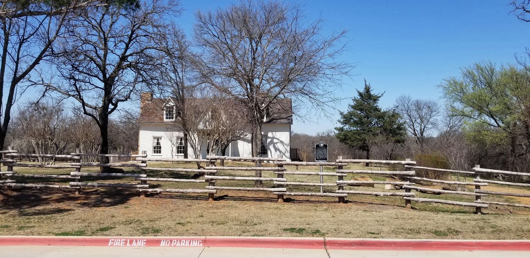
Location. 32° 33.852′ N, 97° 8.884′ W. Marker is in Mansfield, Texas, in Tarrant County. Marker is on West Broad Street, 0.2 miles west of North 4th Avenue, on the right when traveling west. The marker is located in the front yard of the Man House Museum. Touch for map. Marker is at or near this postal address: 604 West Broad Street, Mansfield TX 76063, United States of America. Touch for directions.
Other nearby markers. At least 8 other markers are within walking distance of this marker. History of the Man House (within shouting distance of this marker); Ralph Sandiford Man (within shouting distance of this marker); Man's Barn and Land (within shouting distance of this marker); Mansfeild Mill (approx. 0.4 miles away); Cumberland Presbyterian Cemetery (approx. 0.4 miles away); John C. Collier Home (approx. 0.6 miles away); Nugent-Hart House (approx. 0.7 miles away); St. Jude Catholic Church (approx. ¾ mile away). Touch for a list and map of all markers in Mansfield.
Also see . . .
1. Man, Ralph Sandiford (1825–1906).
With his partners Julian Feild and David Mauck, he constructed a water-powered mill close to the confluence of the Clear Fork and the West Fork of the Trinity River. When the water source failed, Man moved to the Walnut Creek settlement in southeastern Tarrant County. Source: Handbook of Texas(Submitted on March 28, 2022, by James Hulse of Medina, Texas.)
2. Story of the Man Family. Man House Museum (Submitted on March 28, 2022, by James Hulse of Medina, Texas.)
Credits. This page was last revised on March 28, 2022. It was originally submitted on March 28, 2022, by James Hulse of Medina, Texas. This page has been viewed 157 times since then and 25 times this year. Photos: 1, 2, 3. submitted on March 28, 2022, by James Hulse of Medina, Texas.


