San Angelo in Tom Green County, Texas — The American South (West South Central)
Tom Green County Organizers
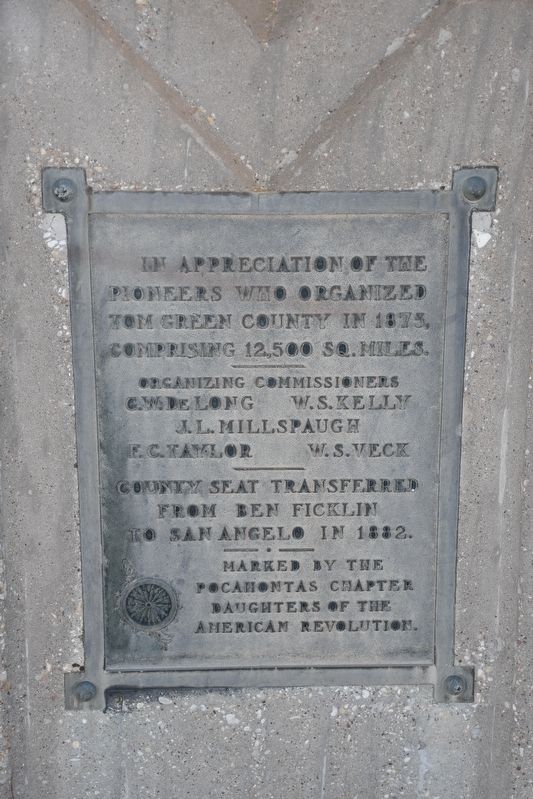
pioneers who organized
Tom Green County in 1875,
comprising 12,500 sq. miles.
Organizing commissioners
C.W. Delong • W.S. Kelly
J.L. Millspaugh
F.C. Taylor • W.S. Veck
County seat transferred
from Ben Ficklin
to San Angelo in 1882.
Erected by Pocahontas Chapter, Daughters of the American Revolution.
Topics and series. This historical marker is listed in this topic list: Political Subdivisions. In addition, it is included in the Daughters of the American Revolution series list. A significant historical year for this entry is 1875.
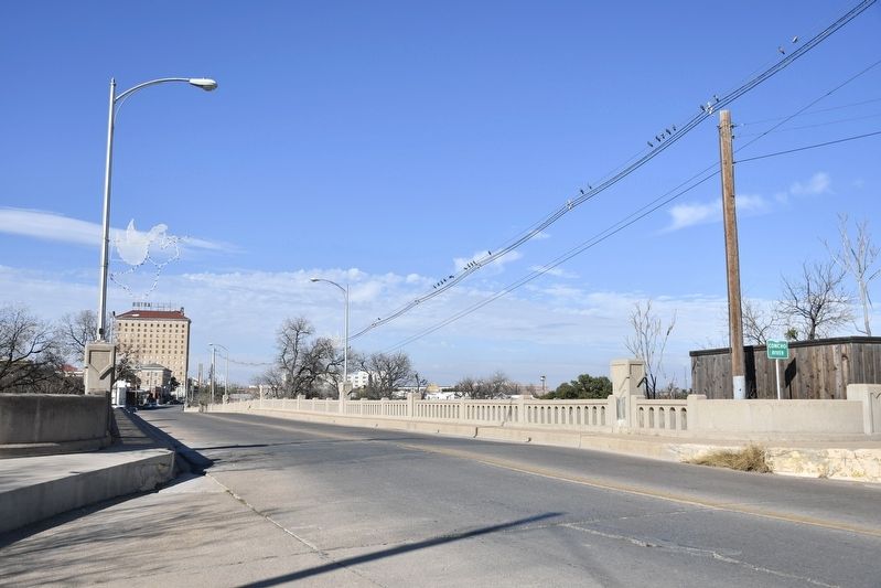
Location. 31° 27.494′ N, 100° 25.958′ W. Marker is in San Angelo, Texas, in Tom Green County. Marker is on South Oakes Street north of Allen Street, on the left when traveling north. Marker is on the first streetlight post on the left when going northbound across the Concho River bridge. Touch for map. Marker is at or near this postal address: 350 S Oakes St, San Angelo TX 76903, United States of America. Touch for directions.
Other nearby markers. At least 8 other markers are within walking distance of this marker. Municipal Swimming Pool (about 700 feet away, measured in a direct line); The Schwartz & Raas and San Angelo National Bank Building (approx. 0.2 miles away); Goodfellow Air Force Base (approx. 0.2 miles away); Allen-Hartgrove House (approx. 0.2 miles away); San Angelo Army Air Field (approx. 0.2 miles away); Fort Concho (approx. 0.2 miles away); Blacksmith (approx. 0.2 miles away); South Chadbourne 200 Block Early 1900's (approx. ¼ mile away). Touch for a list and map of all markers in San Angelo.

cmh2315fl via Flickr (CC BY-NC 2.0), December 27, 2021
2. Tom Green County Organizers Marker
Marker is on the base of the closest lamp post on the left.
Credits. This page was last revised on March 28, 2022. It was originally submitted on March 28, 2022, by Duane and Tracy Marsteller of Murfreesboro, Tennessee. This page has been viewed 109 times since then and 20 times this year. Photos: 1, 2. submitted on March 28, 2022, by Duane and Tracy Marsteller of Murfreesboro, Tennessee.
