Clifton in Fairfax County, Virginia — The American South (Mid-Atlantic)
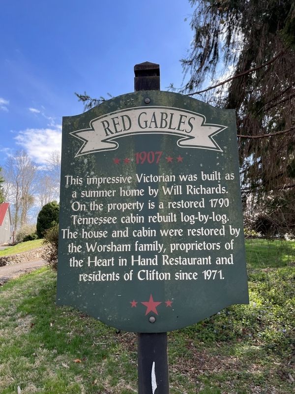
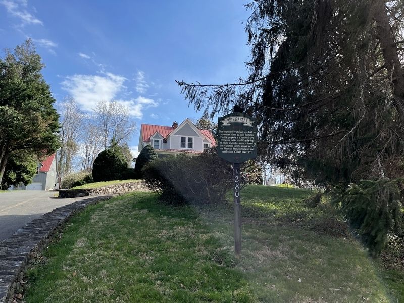
Red Gables
1907
Topics. This historical marker is listed in these topic lists: Architecture • Notable Buildings. A significant historical year for this entry is 1790.
Location. 38° 46.69′ N, 77° 23.301′ W. Marker is in Clifton, Virginia, in Fairfax County. It is on Chestnut Street 0.2 miles west of Main Street, on the left when traveling west. Touch for map. Marker is at or near this postal address: 12726 Chestnut St, Clifton VA 20124, United States of America. Touch for directions.

Regionally, this marker is in the Washington Metropolitan Area and in Northern Virginia. It is also in the American South, specifically in the Upper South, in the Mid-Atlantic, and on the Eastern Seaboard. Globally, it is in the North Atlantic Region, North America, the Western Hemisphere, the Western World, and the Anglosphere. Historically, it finds itself in what
this page online
Other nearby markers. At least 8 other markers are within walking distance of this marker: Ferndale (about 400 feet away, measured in a direct line); Adams House (about 500 feet away); Wm. E. Beckwith House (about 600 feet away); Cross House (about 600 feet away); Mayhugh Tavern (about 700 feet away); Fulmer House (about 700 feet away); Kidwell House (about 800 feet away); Clifton Primitive Baptist Church (about 800 feet away). Touch for a list and map of all markers in Clifton.
Credits. This page was last revised on March 28, 2022. It was originally submitted on March 28, 2022, by Devry Becker Jones of Washington, District of Columbia. This page has been viewed 316 times since then and 18 times this year. Photos: 1, 2. submitted on March 28, 2022, by Devry Becker Jones of Washington, District of Columbia.
