
Lexington in Fayette County, Kentucky — The American South (East South Central)
Nugent's Crossroad - Midway - Wallace Station
Photographed by Craig Doda, March 21, 2022
1. Nugent's Crossroad - Midway - Wallace Station Marker
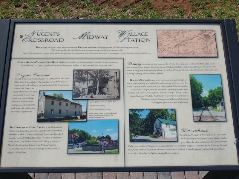
Toll Roads, toll houses, stage stations and taverns. Railroad Stations with shipping docks, post offices and dry-goods stores. Towns invented by the railroad and small communities congregated at crossroads and mills.
Since 1800, commercial, transportation and social places have been important parts of this agrarian society. Because country needs connection and community, too.
Central Kentucky's Nearest Ohio River Ports lay north and west at Cincinnati and Louisville. So since settlement, dependable ways to transport goods influenced the planning and building of roads, railroads and commercial centers.
Nugent's Crossroad
The oldest surviving community place on Old Frankfort Pike is the Offutt-Cole Tavern (aka Lee's Tavern). Since about 1799, this two- story log and brick building at the intersection of Old Frankfort and Midway Pike (US 62) has anchored the crossroad. First a respectable inn and stage coach stop, when Midway Pike (now US 62) became an improved toll road in the mid-1800s, the building also served as a tollgate house.
The Lexington and Ohio Railroad, the first railroad chartered in Kentucky,
this page online
Midway sits at the top right corner of the 1872 De Beers Atlas above. Follow the Midway Pike south from town about two miles to the intersection at (Old) Frankfort Pike - the location of Nugent's Crossroad. Today, historic Midway remains the commercial heart of northwest Woodford County, where locals and visitors alike enjoy its dining, shopping, and small town ambiance.
Railroad Stations became important community gathering places where locals picked up mail and supplies and caught up on the news. In the Scenic Corridor, station houses with post offices anchored the surrounding communities of Pisgah, Duckers, Yarnallton, and Spring Station. Most locations had several homes, a general store and perhaps a doctor's office. Spring Station on Woodlake Road (locally referred
Photographed by Craig Doda, March 21, 2022
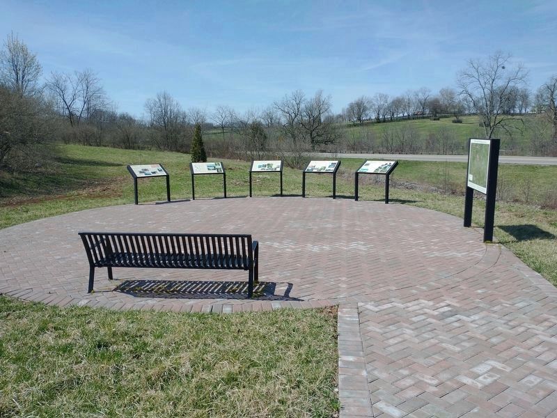
2. Nugent's Crossroad - Midway - Wallace Station Marker on far left.
Wallace Station
In 1885, the Versailles & Midway Railroad sent tracks north to Georgetown in Scott County. Wallace Station grew where the V&M rails crossed Old Frankfort Pike. Wallace was so close to Nugent's Crossroad, that the two essentially merged. At Wallace Station, locals got the mail, news, home and farm necessities. McKinivan's Store (now Wallace Station Restaurant) and the McKinivan House across the road anchor the Wallace Station Historic District. [Captions:]
Above: Offutt-Cole Tavern, 1940s (KHS)
Left: The tavern, today.
Below: Midway Historic District
Right: Spring Station on Woodlake Road Wallace Station Restaurant on Old Frankfort Pike (all CA)
Topics. This historical marker is listed in this topic list: Settlements & Settlers. A significant historical year for this entry is 1800.
Location. 38° 4.123′ N, 84° 33.474′ W. Marker is in Lexington, Kentucky, in Fayette County. It is at the intersection of Old Frankfort Pike and Alexandria Drive, on the right when traveling east on Old
Photographed by Craig Doda, March 21, 2022
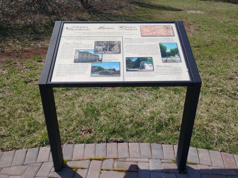
3. Nugent's Crossroad - Midway - Wallace Station Marker

Regionally, this marker is in Kentucky’s Bluegrass Region. It is also in the American South and specifically in the Upper South. Globally, it is in North America, the Western Hemisphere, the Western World, and the Anglosphere. Historically, it finds itself in what was once the territory of the Mississippian Culture and also the Antebellum South.
Other nearby markers. At least 8 other markers are within walking distance of this marker: Lexington-Frankfort Scenic Corridor Area (here, next to this marker); Redd Road (here, next to this marker); The Big Sink (here, next to this marker); Pisgah (here, next to this marker); The West Fayette County (a few steps from this marker); Idle Hour Farm (a few steps from this marker); Gentlemen Farmers and Burley Tobacco (within shouting distance of this marker); Breed Only The Best (within shouting distance of this marker). Touch for a list and map of all markers in Lexington.
Additional keywords. Nugent's Crossroad - Midway - Wallace Station
Credits. This page was last revised on February 25, 2026. It was originally submitted on March 29, 2022, by Craig Doda of Napoleon, Ohio. This page has been viewed 941 times since then and 47 times this year. Photos: 1, 2, 3. submitted on March 29, 2022, by Craig Doda of Napoleon, Ohio. • Mark Hilton was the editor who published this page.
