Melissa in Collin County, Texas — The American South (West South Central)
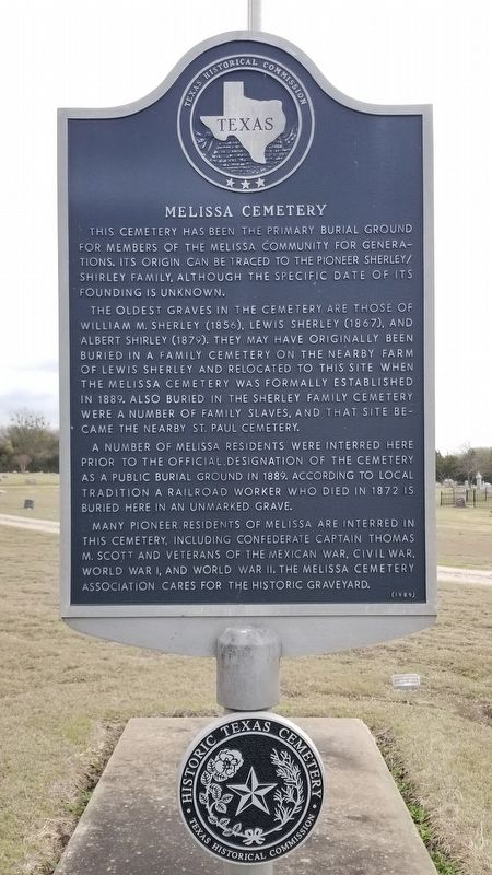
Melissa Cemetery
The oldest graves in the cemetery are those of William M. Sherley (1856), Lewis Sherley (1867), and Albert Shirley (1879). They may have originally been buried in a family cemetery on the nearby farm of Lewis Sherley and relocated to this site when the Melissa Cemetery was formally established in 1889. Also buried in the Sherley Family Cemetery were a number of family slaves, and that site became the nearby St. Paul Cemetery.
A number of Melissa residents were interred here prior to the official designation of the cemetery as a public burial ground in 1889. According to local tradition a railroad worker who died in 1872 is buried here in an unmarked grave.
Many pioneer residents of Melissa are interred in this cemetery, including Confederate Captain Thomas M. Scott and veterans of the Mexican War, Civil War, World War I, and World War II. The Melissa Cemetery Association cares for the historic graveyard.
2nd Plaque
Historic Texas Cemetery
Erected 1989 by Texas Historical Commission. (Marker Number 6183.)
Topics. This historical marker is listed in these topic lists: African Americans • Cemeteries & Burial Sites • Railroads & Streetcars. A significant historical year for this entry is 1889.
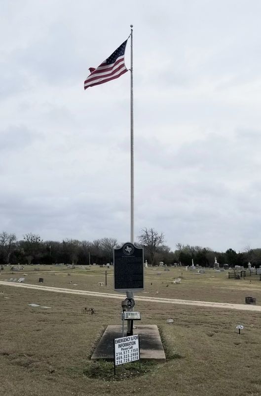
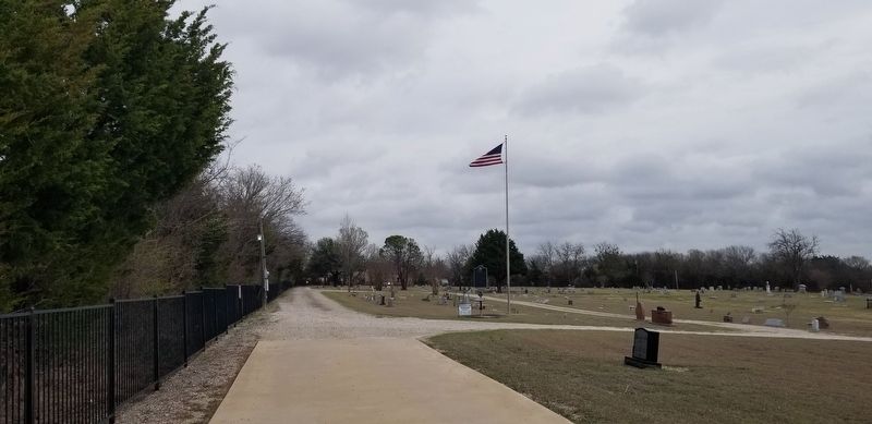
Location. 33° 17.205′ N, 96° 35.226′ W. Marker is in Melissa, Texas, in Collin County. Marker can be reached from East Melissa Road (State Highway 344) 0.2 miles north of Melissa Cemetery. The marker is located at the entrance to the cemetery. Touch for map. Marker is at or near this postal address: 422 East Melissa Road, Melissa TX 75454, United States of America. Touch for directions.
Other nearby markers. At least 8 other markers are within 3 miles of this marker, measured as the crow flies. St. Paul Baptist Church (approx. 0.7 miles away); Scott-Barker House (approx. ¾ mile away); Melissa Christian Church (approx. 0.9 miles away); Melissa School (approx. 0.9 miles away); First Baptist Church of Melissa (approx. 1.2 miles away); Corner Post of Uncle Charlie Wysong's Blacksmith Shop (approx. 2 miles away); Highland Cemetery (approx. 2 miles away); Gus Wilson (approx. 2.3 miles away). Touch for a list and map of all markers in Melissa.
Also see . . . Melissa, TX.
Melissa is on U.S. Highway 75 seven miles northeast of McKinney in north central Collin County. The rich soils of the Blackland Prairie and the waters of the Elm Fork of the Trinity River attracted settlers to the area in the 1840s, when the Peters colony was opened to settlement. The town was laid out in 1872, when the Houston and Texas Central Railway reached the area. Source: The Handbook of Texas(Submitted on March 29, 2022, by James Hulse of Medina, Texas.)
Credits. This page was last revised on March 29, 2022. It was originally submitted on March 29, 2022, by James Hulse of Medina, Texas. This page has been viewed 283 times since then and 56 times this year. Photos: 1, 2, 3. submitted on March 29, 2022, by James Hulse of Medina, Texas.


