Near Talihina in Le Flore County, Oklahoma — The American South (West South Central)
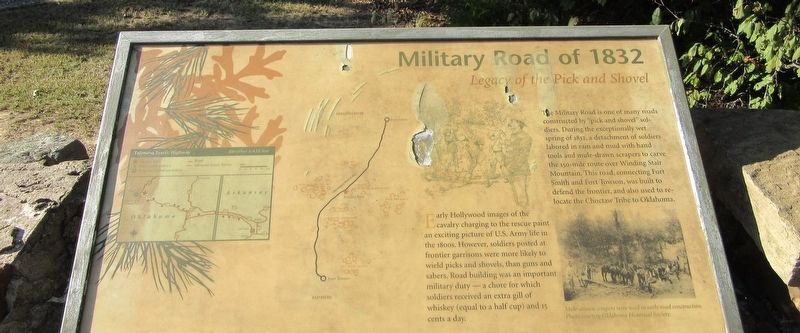
Military Road of 1832
Legacy of the Pick and Shovel
Early Hollywood images of the cavalry charging to the rescue paint an exciting picture of U.S. Army life in the 1800s. However, soldiers posted at frontier garrisons were more likely to wield picks and shovels, than guns and sabers. Road building was an important military duty - a chore for which soldiers received an extra gill of whiskey (equal to a half cup) and 15 cents a day.
The Military Road is one of many roads constructed by "pick and shovel" soldiers. During the exceptionally wet spring of 1832, a detachment of soldiers labored in rain and mud with hand tools and mule-drawn scrapers to carve the 150-mile route over Winding Stair Mountain. This road connecting Fort Smith and Fort Towson, was built to defend the frontier, and also used to relocate the Choctaw Tribe to Oklahoma.
Caption: Mule-drawn scrapers were used in early road construction. Photo courtesy Oklahoma Historical Society.
Erected by US Forest Service.
Topics. This historical marker is listed in this topic list: Roads & Vehicles. A significant historical year for this entry is 1832.
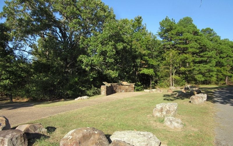
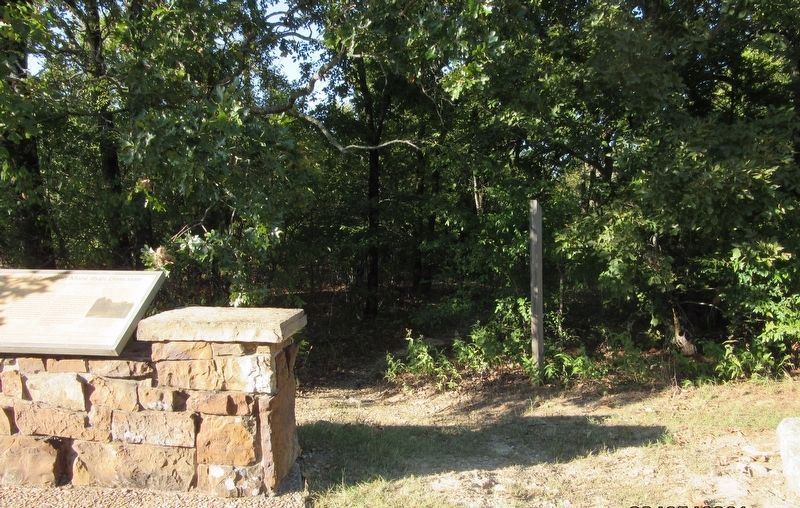
Location. 34° 47.79′ N, 94° 56.674′ W. Marker is near Talihina, Oklahoma, in Le Flore County. Marker is on Talimena National Scenic Byway (Scenic Highway 1) one mile east of U.S. 271, on the left when traveling east. The marker is located at the Old Military Road Picnic Ground on the Talimena National Scenic Drive. Touch for map. Marker is in this post office area: Talihina OK 74571, United States of America. Touch for directions.
Other nearby markers. At least 8 other markers are within 9 miles of this marker, measured as the crow flies. Ft. Smith -- Ft. Towson Military Road (within shouting distance of this marker); First Military Road (within shouting distance of this marker); The Choctaw Nation (approx. 2.7 miles away); On a Clear Day (approx. 2.7 miles away); Deadman Vista (approx. 4.2 miles away); B-29 Crash Near Talihina (approx. 6.6 miles away); Old Lenox Mission (approx. 6.9 miles away); Lenox Mission (approx. 8.7 miles away). Touch for a list and map of all markers in Talihina.
Credits. This page was last revised on April 2, 2022. It was originally submitted on March 29, 2022, by Jason Armstrong of Talihina, Oklahoma. This page has been viewed 173 times since then and 41 times this year. Photos: 1, 2, 3. submitted on March 29, 2022, by Jason Armstrong of Talihina, Oklahoma. • J. Makali Bruton was the editor who published this page.


