Near Morrisonville in Clinton County, New York — The American Northeast (Mid-Atlantic)
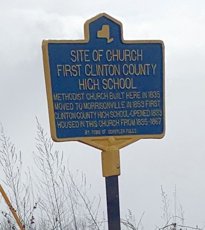
Site of Church First Clinton County High School
Inscription.
moved to Morrisonville in 1853. First
Clinton County high school-opened 1833
housed in this church from 1835-1867
Erected by Town of Schuyler Falls.
Topics. This historical marker is listed in these topic lists: Churches & Religion • Education. A significant historical year for this entry is 1835.
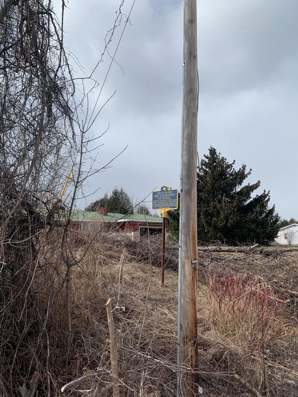
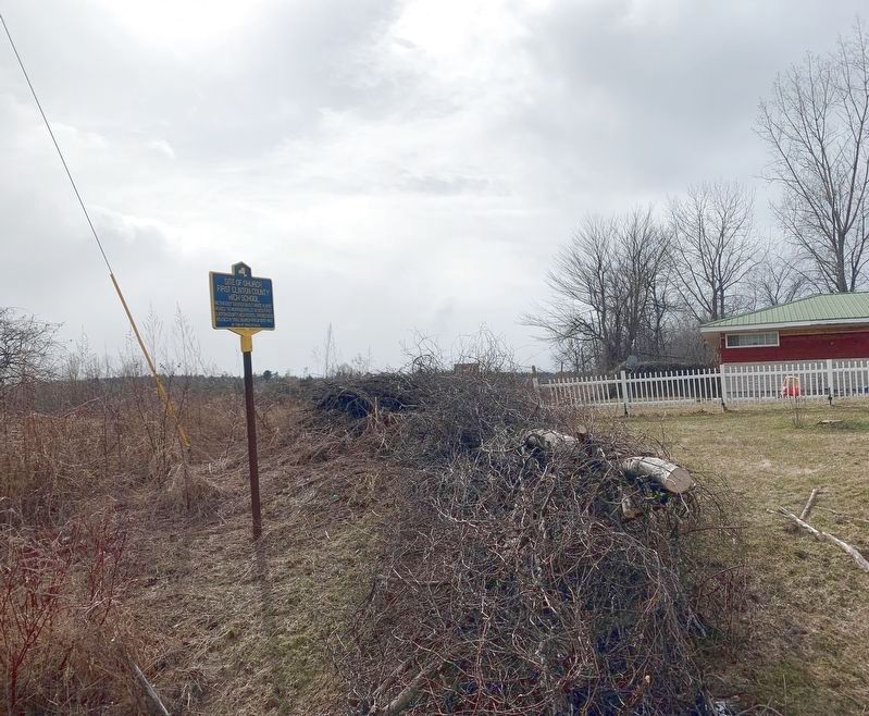
Location. 44° 39.192′ N, 73° 34.246′ W. Marker is near Morrisonville, New York, in Clinton County. Marker is on New York State Route 22B, 0.3 miles north of Irish Settlement Road (County Route 32), on the right when traveling south. Touch for map. Marker is at or near this postal address: 1292 NY-22B, Morrisonville NY 12962, United States of America. Touch for directions.
Other nearby markers. At least 8 other markers are within 3 miles of this marker, measured as the crow flies. Methodist Episcopal Church (approx. 1.6 miles away); Beckwith Graveyard (approx. 1.7 miles away); Industrial Site (approx. 1.8 miles away); 1827 Grist Mill (approx. 1.8 miles away); Joseph Ladue (approx. 1.8 miles away); Soper Cemetery (approx. 1.9 miles away); Schuyler Falls (approx. 2.1 miles away); Three NYSEG Sites (approx. 2.7 miles away). Touch for a list and map of all markers in Morrisonville.
Credits. This page was last revised on April 26, 2022. It was originally submitted on March 30, 2022, by Steve Stoessel of Niskayuna, New York. This page has been viewed 102 times since then and 16 times this year. Photos: 1, 2, 3. submitted on March 30, 2022, by Steve Stoessel of Niskayuna, New York. • Michael Herrick was the editor who published this page.


