North Syracuse in Onondaga County, New York — The American Northeast (Mid-Atlantic)
Plank Toll Road
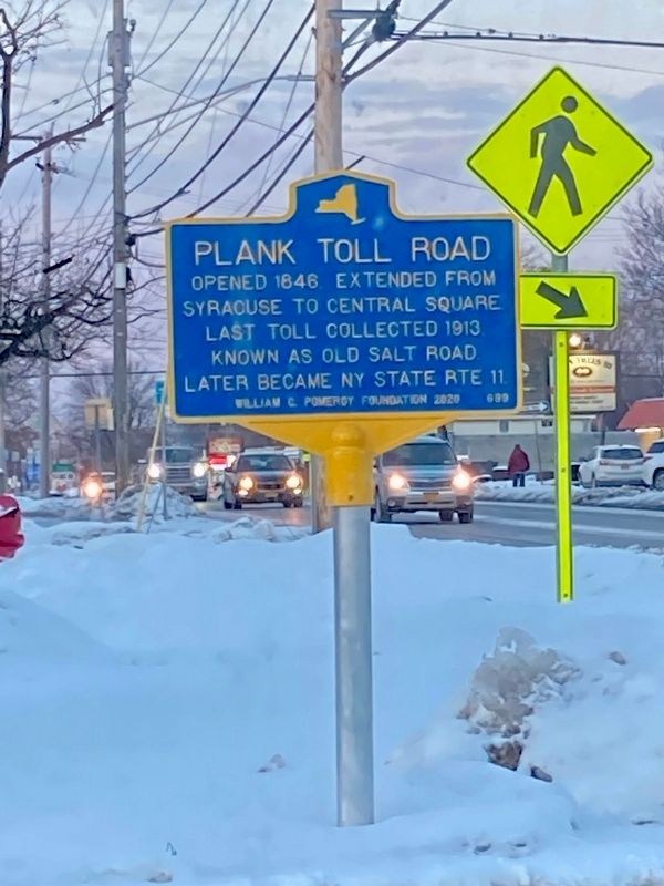
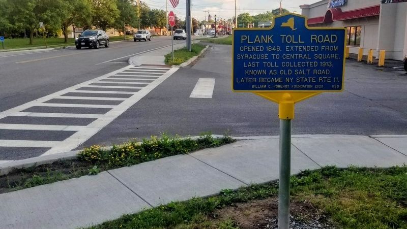
Opened 1846. Extended from Syracuse to Central Square. Last Toll collected 1913. Known as Old Salt Road. Later became NY State Rte 11.
Erected 2020 by William G. Pomeroy Foundation. (Marker Number 633.)
Topics. This historical marker is listed in these topic lists: Industry & Commerce • Roads & Vehicles. A significant historical year for this entry is 1846.
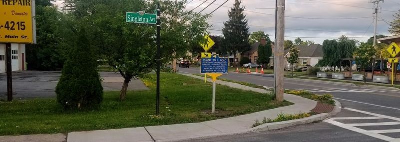
Location. 43° 8.278′ N, 76° 7.734′ W. Marker is in North Syracuse, New York, in Onondaga County. Marker is at the intersection of North Main Street and Singleton Avenue, on the left when traveling north on North Main Street. Touch for map. Marker is at or near this postal address: 223 N Main St, Syracuse NY 13212, United States of America. Touch for directions.
Other nearby markers. At least 8 other markers are within 4 miles of this marker, measured as the crow flies. John Leach (approx. 2.6 miles away); Mattydale Community Memorial (approx. 2.9 miles away); Childhood Home (approx. 3.1 miles away); The Alvord House at Sehr Park (approx. 3.4 miles away); The Alvord House (approx. 3.4 miles away); Syracuse Area (approx. 3˝ miles away); Lyncourt World War II Memorial (approx. 3.7 miles away); Cigarville Station (approx. 4 miles away).
Credits. This page was last revised on June 27, 2023. It was originally submitted on March 30, 2022, by Cicely Ekross of Baldwinsville, New York. This page has been viewed 130 times since then and 10 times this year. Photos: 1. submitted on March 30, 2022. 2, 3. submitted on June 24, 2023, by Brian Metras of Cicero, New York. • Michael Herrick was the editor who published this page.


