San Clemente in Orange County, California — The American West (Pacific Coastal)
San Clemente
The Spanish Village
From leftmost to rightmost panel
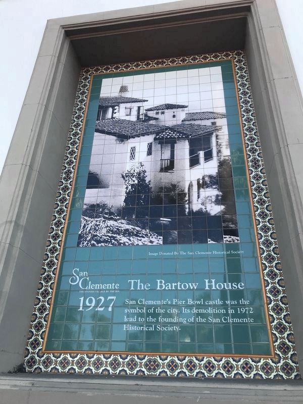
The Bartow House
1927
San Clemente's Pier Bowl castle was the symbol of the city. Its demolition in 1972 lead to the founding of the San Clemente Historical Society.
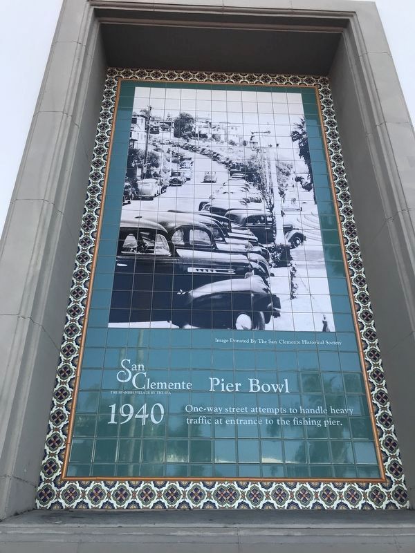
Pier Bowl
1940
One-way street attempts to handle heavy traffic at entrance to the fishing pier.
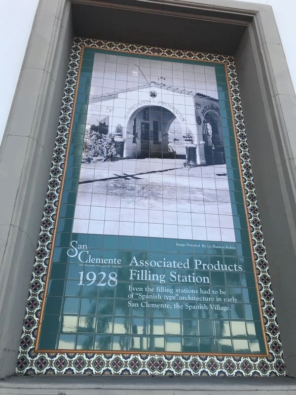
Associated Products Filling Station
1928
Even the filling stations had to be of "Spanish type" architecture in early San Clemente, the Spanish Village
Topics. This historical marker is listed in these topic lists: Architecture • Roads & Vehicles • Settlements & Settlers. A significant historical year for this entry is 1927.
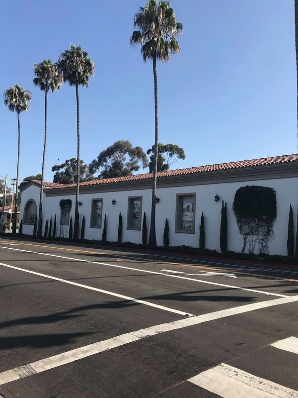
Location. 33° 25.367′ N, 117° 36.539′ W. Marker is in San Clemente, California, in Orange County. Marker is on South El Camino Real, on the right when traveling north. Panels are mounted on the southwest side of the building. Touch for map. Marker is at or near this postal address: 903 South El Camino Real, San Clemente CA 92672, United States of America. Touch for directions.
Other nearby markers. At least 8 other markers are within 2 miles of this marker, measured as the crow flies. San Clemente World War II Honor Roll (approx. half a mile away); La Cristianita (approx. 0.7 miles away); San Clemente Pier (approx. 0.7 miles away); Casa Romantica Cultural Center and Gardens (approx. 0.7 miles away); City of San Clemente Lifeguards (approx. ¾ mile away); San Clemente Island & Catalina Island (approx. 0.9 miles away); Basilone Road (approx. 2 miles away); Panhe: Place by the Water (approx. 2 miles away). Touch for a list and map of all markers in San Clemente.
Credits. This page was last revised on April 13, 2022. It was originally submitted on April 1, 2022, by Adam Margolis of Mission Viejo, California. This page has been viewed 158 times since then and 29 times this year. Photos: 1, 2, 3, 4. submitted on April 1, 2022, by Adam Margolis of Mission Viejo, California. • Syd Whittle was the editor who published this page.


