Hadley in Hampshire County, Massachusetts — The American Northeast (New England)
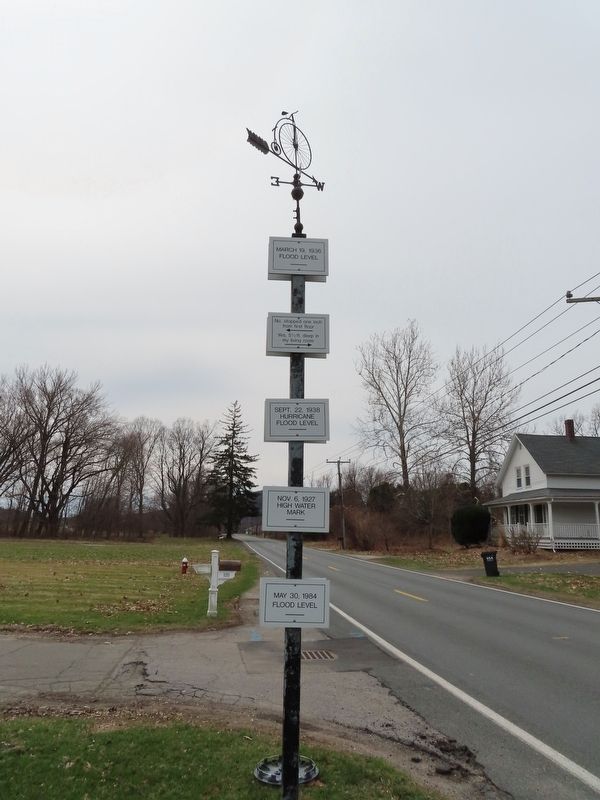
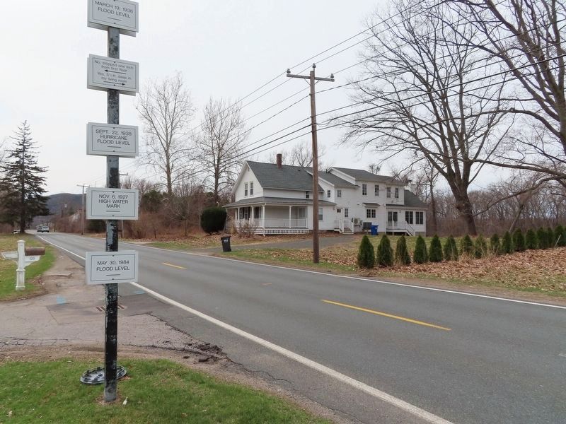
Flood Levels
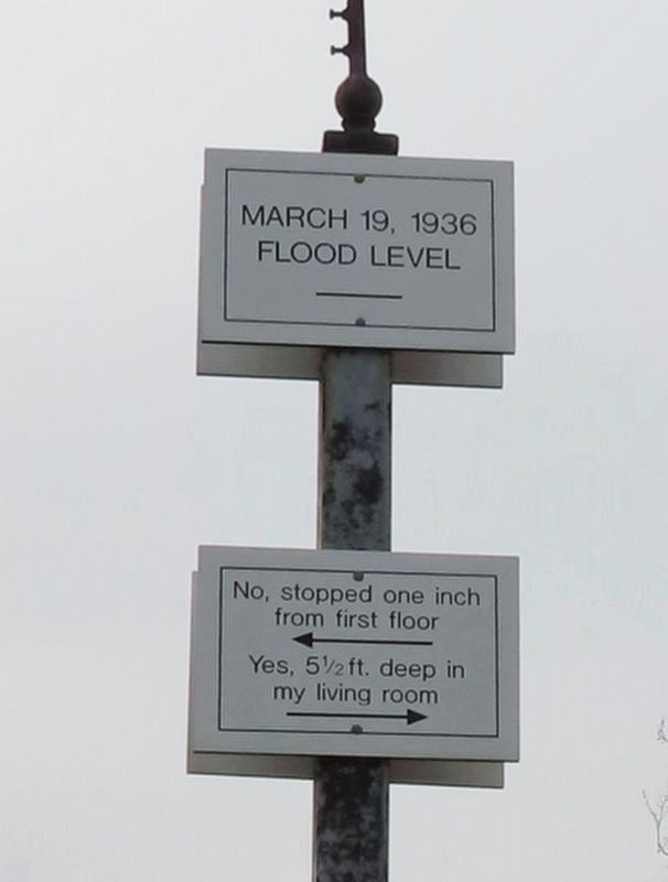
No, stopped one inch from first floor
←
Yes, 5˝ ft deep in my living room
→
Sept. 22, 1938 Hurricane Flood Level
Nov. 6, 1927 High Water Mark
May 30, 1984 Flood Level
Topics. This historical marker is listed in these topic lists: Disasters • Waterways & Vessels. A significant historical date for this entry is March 19, 1936.
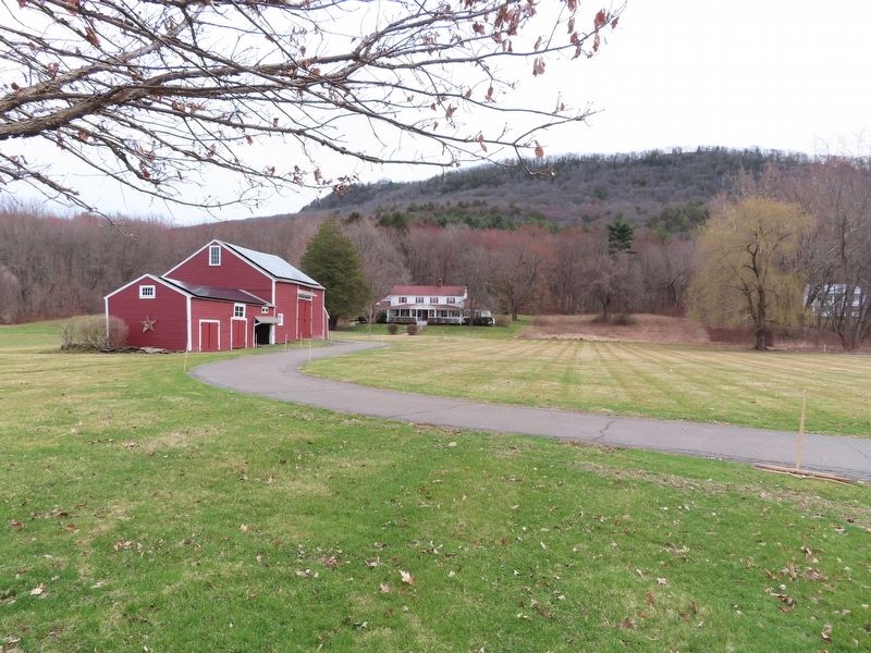
Location. 42° 18.12′ N, 72° 36.044′ W. Marker is in Hadley, Massachusetts, in Hampshire County. Marker is on Hockanum Road (Massachusetts Route 47) 0.3 miles north of Old Mountain Road, on the left when traveling south. Touch for map. Marker is at or near this postal address: 120 Hockanum Rd, Hadley MA 01035, United States of America. Touch for directions.
Other nearby markers. At least 8 other markers are within 2 miles of this marker, measured as the crow flies. Village of Hockanum (approx. 0.4 miles away); Holyoke Range and Skinner State Parks (approx. half a mile away); Pomeroy Terrace (approx. 1.9 miles away); Masonic Block (approx. 1.9 miles away); Cornet Joseph Parsons (approx. 1.9 miles away); The Gasworks (approx. 1.9 miles away); Smith Charities (approx. 1.9 miles away); First Meeting House (approx. 1.9 miles away). Touch for a list and map of all markers in Hadley.
Also see . . . The 1936 Flood That Engulfed New England (New England Historical Society) . (Submitted on April 2, 2022, by Michael Herrick of Southbury, Connecticut.)
Credits. This page was last revised on April 2, 2022. It was originally submitted on April 2, 2022, by Michael Herrick of Southbury, Connecticut. This page has been viewed 412 times since then and 72 times this year. Photos: 1, 2, 3, 4. submitted on April 2, 2022, by Michael Herrick of Southbury, Connecticut.


