Johns Hopkins Homewood in Baltimore, Maryland — The American Northeast (Mid-Atlantic)
Beach
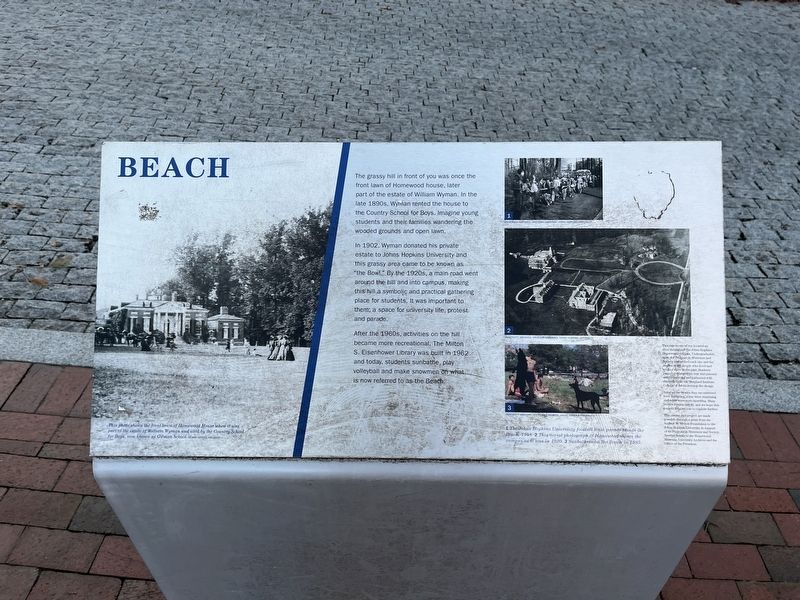
The grassy hill in front of you was once the front lawn of Homewood house, later part of the estate of William Wyman. In the late 1890s, Wyman rented the house to the Country School for Boys. Imagine young students and their families wandering the wooded grounds and open lawn.
In 1902, Wyman donated his private estate to Johns Hopkins University and this grassy area came to be known as "the Bowl." By the 1920s, a main road went around the hill and into campus, making this hill a symbolic and practical gathering place for students. It was important to them; a space for university life, protest and parade.
After the 1960s, activities on the hill became more recreational. The Milton S. Eisenhower Library was built in 1962 and today, students sunbathe, play volleyball and make snowmen on what is now referred to as the Beach.
[Captions:]
This photo shows the front lawn of Homewood House when it was part of the estate of William Wyman and used by the Country School for Boys, now known as Gilman School.
1 The Johns Hopkins University football team parade beside the Beach, 1948. 2 This aerial photograph of Homewood shows the campus as it was in 1920. 3 Sunbathers on the Beach in 1985.
Topics. This historical marker is listed in these topic lists: Education • Parks & Recreational Areas. A significant historical year for this entry is 1902.
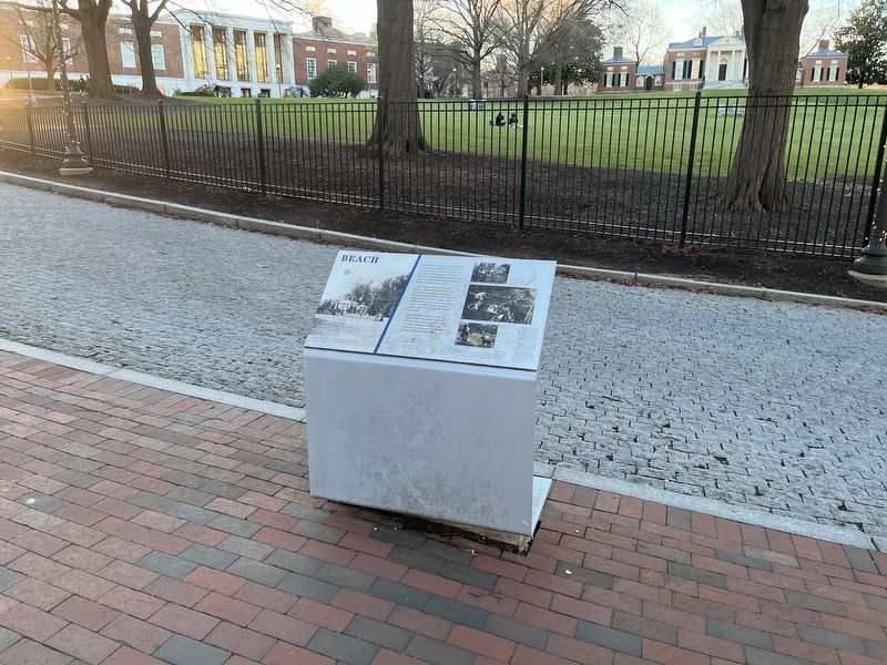
Location. 39° 19.723′ N, 76° 37.092′ W. Marker is in Baltimore, Maryland. It is in Johns Hopkins Homewood. Marker is on East Gate just east of Charles Street (Maryland Route 139), on the left when traveling east. Touch for map. Marker is at or near this postal address: 3400 Charles Street, Baltimore MD 21218, United States of America. Touch for directions.
Other nearby markers. At least 8 other markers are within walking distance of this marker. World War I Memorial (a few steps from this marker); Carriage House (within shouting distance of this marker); Homewood (about 300 feet away, measured in a direct line); a different marker also named Homewood (about 400 feet away); The Sheridan Libraries (about 500 feet away); Keyser Quadrangle (about 500 feet away); Orchard (about 500 feet away); a different marker also named Homewood (about 600 feet away). Touch for a list and map of all markers in Baltimore.
Credits. This page was last revised on April 2, 2022. It was originally submitted on April 2, 2022, by Devry Becker Jones of Washington, District of Columbia. This page has been viewed 185 times since then and 6 times this year. Photos: 1, 2. submitted on April 2, 2022, by Devry Becker Jones of Washington, District of Columbia.

