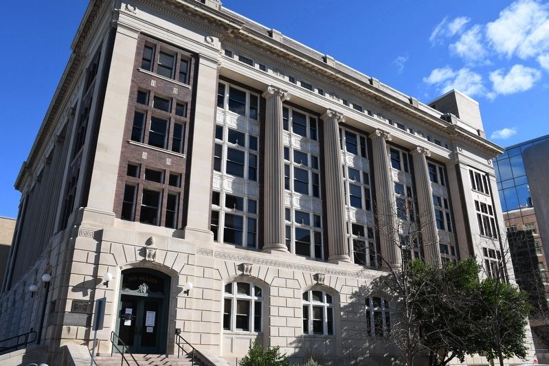
Downtown Austin in Travis County, Texas — The American South (West South Central)
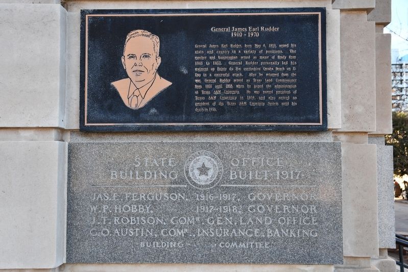
General James Earl Rudder
1910 – 1970
Topics. This historical marker is listed in these topic lists: Government & Politics • Military. A significant historical date for this entry is May 6, 1910.
Location. 30° 16.331′ N, 97° 44.379′ W. Marker is in Austin, Texas, in Travis County. It is in Downtown Austin. Marker is at the intersection of East 11th Street and Brazos Street, on the right when traveling east on East 11th Street. Touch for map. Marker is at or near this postal address: 1019 Brazos St, Austin TX 78701, United States of America. Touch for directions.
Other nearby markers. At least 8 other markers are within walking distance of this marker. General Land Office Building of 1856-57 (within shouting distance of this marker); Site of Tenth Street Methodist Church (within shouting distance of this marker); Texas Highway Department (within shouting distance of this marker); Saint Mary’s Cathedral (about 300 feet away, measured in a direct line); Spanish Tejanos (about 400 feet away); Tejanos in the Republic of Texas (about 400 feet away); Tejanos and Texas in the U.S. (about 400 feet away); Mexican Americans in 20th Century America (about 400 feet away). Touch for a list and map of all markers in Austin.

cmh2315fl via Flickr (CC BY-NC 2.0), January 1, 2021
2. General James Earl Rudder Marker
Marker is at the corner of the building.
Credits. This page was last revised on February 1, 2023. It was originally submitted on April 3, 2022, by Duane and Tracy Marsteller of Murfreesboro, Tennessee. This page has been viewed 138 times since then and 20 times this year. Photos: 1, 2. submitted on April 3, 2022, by Duane and Tracy Marsteller of Murfreesboro, Tennessee.
