Beverly in Burlington County, New Jersey — The American Northeast (Mid-Atlantic)
St. Stephen's Episcopal Church
Consecrated 1855
| — | Steeple and Bell Tower preservation | — |
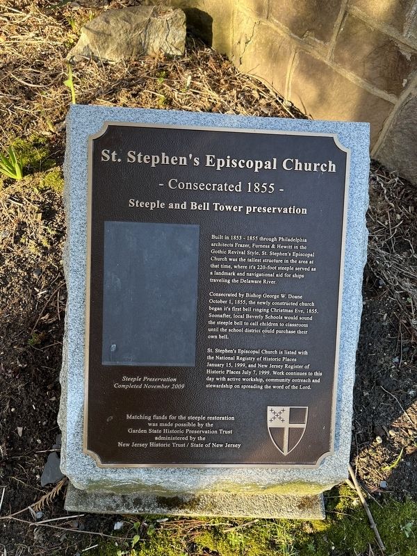
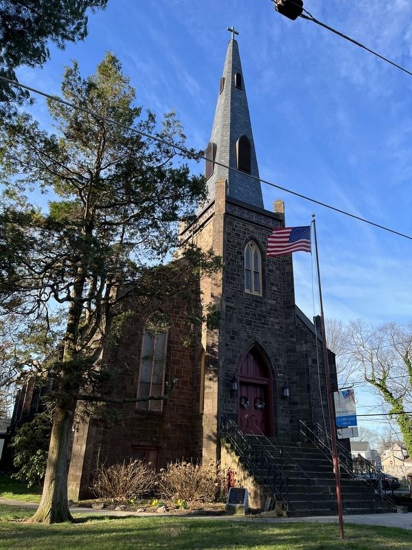
Built in 1853 - 1855 through Philadelphia architects Frazer, Furness & Hewitt in the Gothic Revival Style, St. Stephen's Episcopal Church was the tallest structure in the area at that time, where it's 220-foot steeple served as a landmark and navigational aid for ships traveling the Delaware River.
Consecrated by Bishop George W. Doane October 1, 1855, the newly constructed church began it's first bell ringing Christmas Eve, 1855. Soonafter, local Beverly Schools would sound the steeple bell to call children to classroom until the school district could purchase their own bell.
St. Stephen's Episcopal Church is listed with the National Registry of Historic Places January 15, 1999, and New Jersey Register of Historic Places July 7, 1999. Work continues to this day with active workship, community outreach and stewardship on spreading the word of the Lord.
Topics and series. This historical marker is listed in these topic lists: Architecture • Communications • Religion & Religious Structures. In addition, it is included in the Historic Bells series list. A significant historical date for this entry is January 15, 1999.
Location. 40° 3.911′ N,
this page online

Regionally, this marker is in South Jersey and in Greater Philadelphia. It is also in the American Northeast, in the Mid-Atlantic, and on the Eastern Seaboard. Globally, it is in the North Atlantic Region, North America, the Western Hemisphere, the Western World, and the Anglosphere. Historically, it finds itself in what was once New Netherland and also one of the original Thirteen Colonies.
Other nearby markers. At least 8 other markers are within 2 miles of this marker, measured as the crow flies: World War (about 600 feet away, measured in a direct line); Dunk’s Ferry Bicentennial Memorial (approx. 0.4 miles away); Beverly Veterans (approx. 0.4 miles away); Memorial Field (approx. 0.4 miles away); Tides at Neshaminy (approx. 0.6 miles away in Pennsylvania); Avenue of Flags (approx. 0.8 miles
Credits. This page was last revised on April 3, 2022. It was originally submitted on April 3, 2022, by Devry Becker Jones of Washington, District of Columbia. This page has been viewed 413 times since then and 47 times this year. Photos: 1, 2. submitted on April 3, 2022, by Devry Becker Jones of Washington, District of Columbia.
