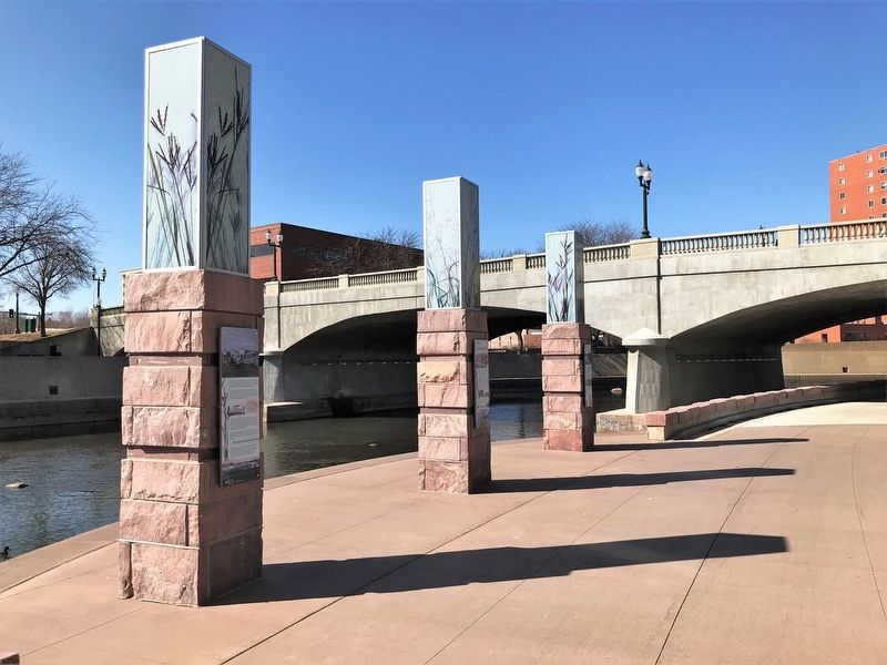
Downtown in Sioux Falls in Minnehaha County, South Dakota — The American Midwest (Upper Plains)
Fort Dakota
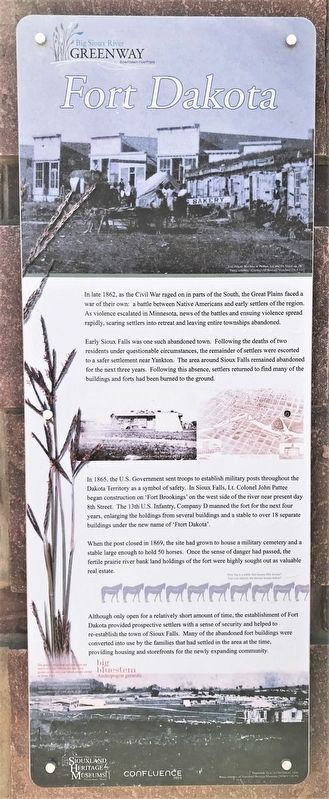
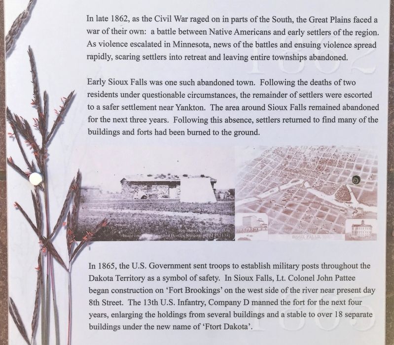
Early Sioux Falls was one such abandoned town. Following the deaths of two residents under questionable circumstances, the remainder of settlers were escorted to a safer settlement near Yankton. The area around Sioux Falls remained abandoned for the next three years. Following this absence, settlers returned to find many of the buildings and forts had been burned to the ground.
In 1865, the U.S. Government sent troops to establish military posts throughout the Dakota Territory as a symbol of safety. In Sioux Falls, Lt. Colonel John Pattee began construction on 'Fort Brookings' on the west side of the river near present day 8th Street. The 13th U.S. Infantry, Company D manned the fort for the next four years, enlarging the holdings from several buildings and a stable to over 18 separate buildings under the new name of 'Ftort Dakota'.
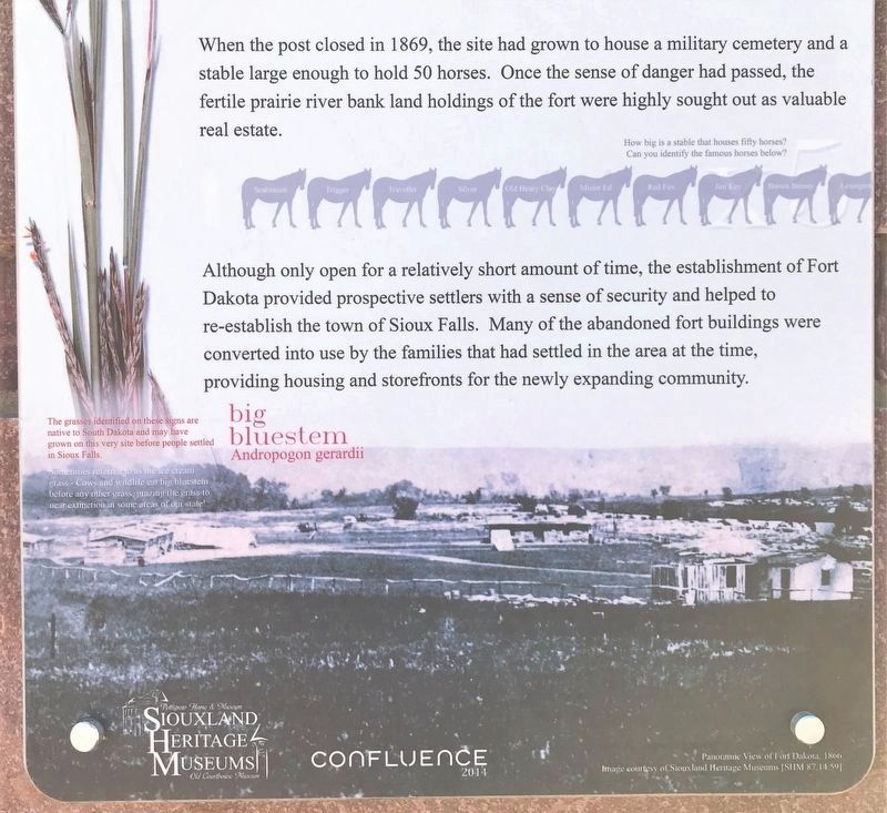
When the post closed in 1869, the site had grown to house a military cemetery and a stable large enough to hold 50 horses. Once the sense of danger had passed, the fertile prairie river bank land holdings of the fort were highly sought out as valuable real estate.
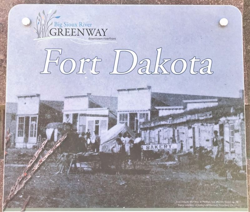
Although only open for a relatively short amount of time, the establishment of Fort Dakota provided prospective settlers with a sense of security and helped to re-establish the town of Sioux Falls. Many of the abandoned fort buildings were converted into use by the families that had settled in the area at the time, providing housing and storefronts for the newly expanding community.
Erected by Siouxland Heritage Museums and Confluence.
Topics. This historical marker is listed in these topic lists: Forts and Castles • Wars, US Indian. A significant historical year for this entry is 1862.
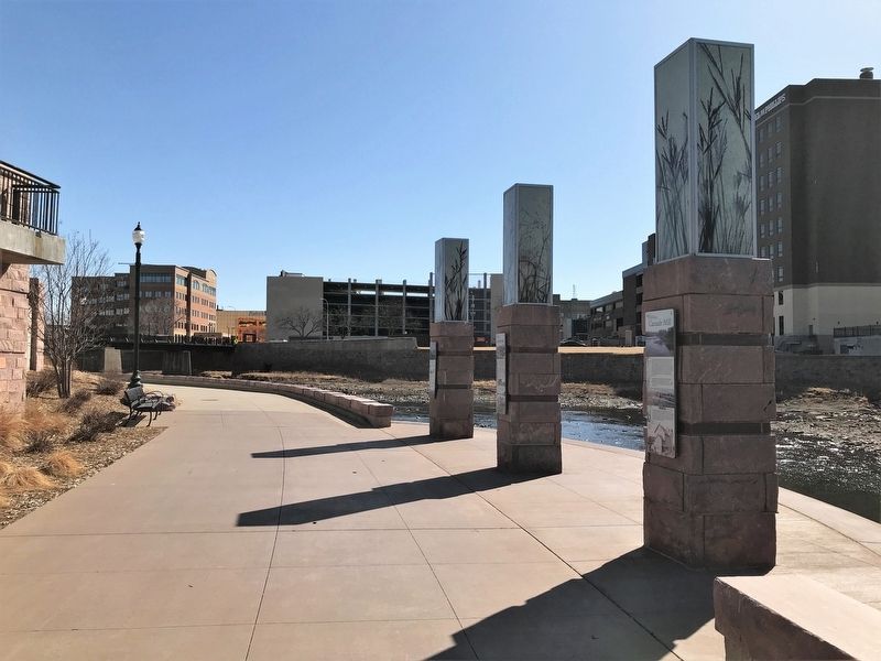
Location. 43° 32.896′ N, 96° 43.528′ W. Marker is in Sioux Falls, South Dakota, in Minnehaha County. It is in Downtown. Marker can be reached from East 8th Street, 0.1 miles east of North Phillips Avenue, on the right when traveling east. Located on the Big Sioux River Greenway, on the east side of the river and just south of the Eighth Street bridge. Touch for map. Marker is at or near this postal address: 201 E 8th St, Sioux Falls SD 57103, United States of America. Touch for directions.
Other nearby markers. At least 8 other markers are within walking distance of this marker. Lumberyards (here, next to this marker); Cascade Mill (a few steps from this marker); Launch (within shouting
distance of this marker); Course (within shouting distance of this marker); Mill Dam Tragedy (within shouting distance of this marker); Overflow (within shouting distance of this marker); Traverse (within shouting distance of this marker); 8th Street Bridge (within shouting distance of this marker). Touch for a list and map of all markers in Sioux Falls.
March 26, 2022
4. Fort Dakota Marker
Captions:
graphic
How big is a stable that houses fifty horse? Can you identify the famous horses below?
Seabiscuit · Trigger · Traveller · Silver · Old Henry Clay · Mister Ed · Red Fox · Jim Key · Brown Beauty · Lexington
big bluestem
Andropogon gerardii
The grasses identified on these signs are native to South Dakota and may have grown on this very site before people settled in Sioux Falls.
Sometimes referred to as the ice cream grass - Cows and wildlife eat big bluestem before any other grass, grazing the grass to near extinction in some areas of our state!
photo
Panoramic View of Fort Dakota, 1866. Image courtesy of Siouxland Heritage Museums [SHM 87.14.59].
Credits. This page was last revised on February 16, 2023. It was originally submitted on April 3, 2022. This page has been viewed 133 times since then and 27 times this year. Photos: 1, 2, 3, 4, 5, 6. submitted on April 3, 2022.
