Chesterfield in Chesterfield County, Virginia — The American South (Mid-Atlantic)
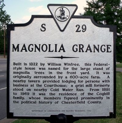
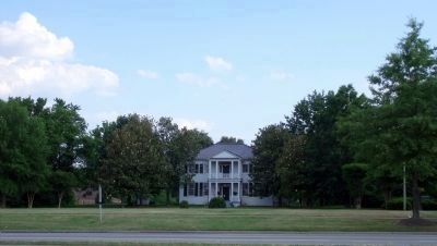
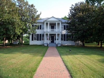
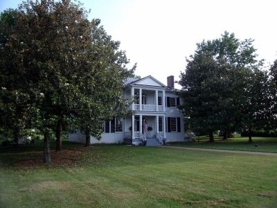
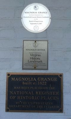
Magnolia Grange
Erected 1986 by Department of Conservation and Historic Resources. (Marker Number S-29.)
Topics and series. This historical marker is listed in these topic lists: Architecture • Industry & Commerce. In addition, it is included in the Virginia Department of Historic Resources (DHR) series list. A significant historical year for this entry is 1822.
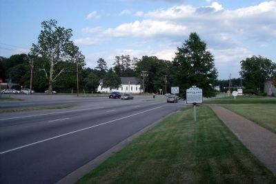
Location. 37° 22.537′ N, 77° 30.402′ W. Marker is in Chesterfield, Virginia, in Chesterfield County. Marker is at the intersection of Iron Bridge Road (Virginia Route 10) and Krause Road, on the right when traveling east on Iron Bridge Road. Touch for map. Marker is at or near this postal address: 10020 Iron Bridge Road, Chesterfield VA 23832, United States of America. Touch for directions.
Other nearby markers. At least 8 other markers are within 3 miles of this marker, measured as the crow flies. Chesterfield County Courthouse (within shouting distance of this marker); Veterans Memorial Wall (within shouting distance of this marker); World War I in Chesterfield County (within shouting distance of this marker); Chesterfield Court House (within shouting distance of this marker); Confederate Memorial (about 300 feet away, measured in a direct line); 1917 Courthouse (about 300 feet away); Apostles of Religious Liberty (about 300 feet away); George Washington Carver High School (approx. 2˝ miles away). Touch for a list and map of all markers in Chesterfield.
Also see . . . Richmond Times Dispatch Archives. Magnolia Grange (published July 25, 2008). (Submitted on May 31, 2009, by Bernard Fisher of Richmond, Virginia.)
Credits. This page was last revised on January 13, 2022. It was originally submitted on May 31, 2009, by Bernard Fisher of Richmond, Virginia. This page has been viewed 1,178 times since then and 43 times this year. Photos: 1, 2, 3, 4, 5. submitted on May 31, 2009, by Bernard Fisher of Richmond, Virginia. 6. submitted on January 12, 2022, by Adam Margolis of Mission Viejo, California.
