Downtown in Sioux Falls in Minnehaha County, South Dakota — The American Midwest (Upper Plains)
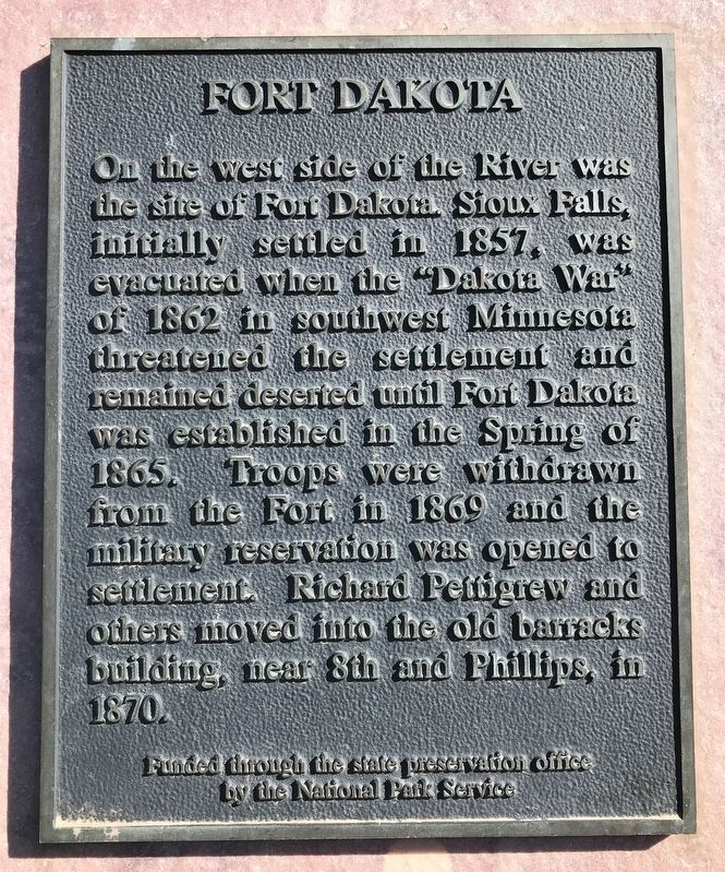
Fort Dakota
Erected by National Park Service through the State Preservation Office.
Topics. This historical marker is listed in these topic lists: Forts and Castles • Wars, US Indian. A significant historical year for this entry is 1857.
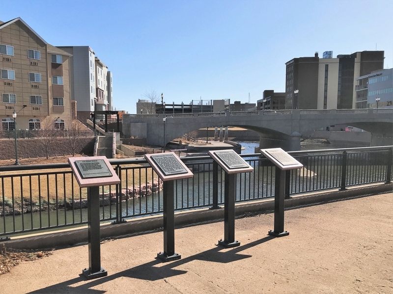
Location. 43° 32.955′ N, 96° 43.518′ W. Marker is in Sioux Falls, South Dakota, in Minnehaha County. It is in Downtown. Marker can be reached from East 7th Street east of North Phillips Avenue, on the right when traveling east. Located along the bike trail on the west side of the Big Sioux River, between Seventh and Eighth Streets in Downtown Sioux Falls. Touch for map. Marker is at or near this postal address: 111 E 7th St, Sioux Falls SD 57104, United States of America. Touch for directions.
Other nearby markers. At least 8 other markers are within walking distance of this marker. Manchester Biscuit Company (here, next to this marker); Cascade Milling Company (here, next to this marker); 8th Street Bridge (here, next to this marker); Mill Dam Tragedy (within shouting distance of this marker); Traverse (about 300 feet away, measured in a direct line); Illinois Central Depot (about 300 feet away); Overflow (about 300 feet away); a different marker also named 8th Street Bridge (about 300 feet away). Touch for a list and map of all markers in Sioux Falls.
Credits. This page was last revised on February 16, 2023. It was originally submitted on April 4, 2022. This page has been viewed 133 times since then and 17 times this year. Photos: 1, 2. submitted on April 4, 2022.

