Near Ridgecrest in Inyo County, California — The American West (Pacific Coastal)
Native Americans in the Owens Valley
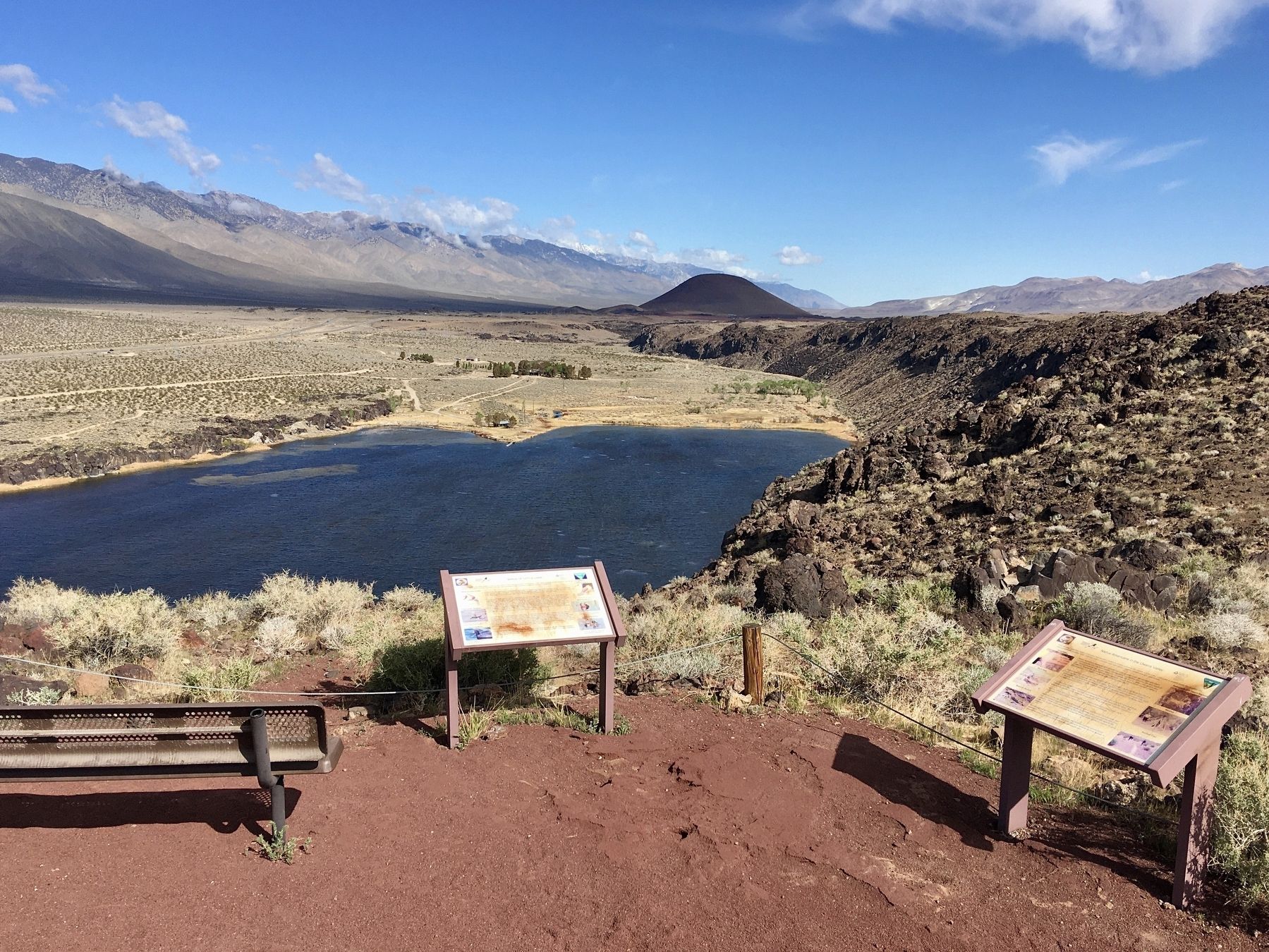
Little Lake Overlook
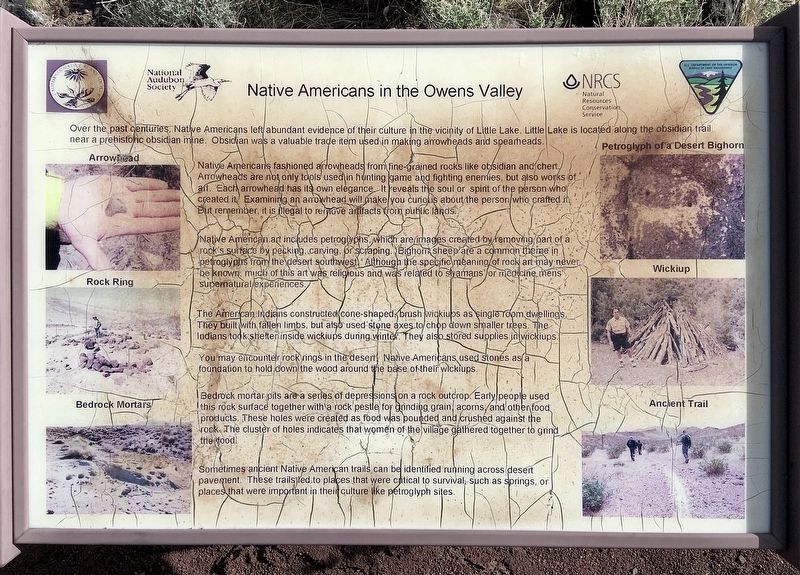
Over the past centuries, Native Americans left abundant evidence of their culture in the vicinity of Little Lake. Little Lake is located along the obsidian trail near a prehistoric obsidian mine. Obsidian was a valuable trade item used in making arrowheads and spearheads.
Native Americans fashioned arrowheads from fine-grained rocks like obsidian and chert. Arrowheads are not only tools used in hunting game and fighting enemies, but also works of art. Each arrowhead has its own elegance. It reveals the soul or spirit of the person who created it. Examining an arrowhead will make you curious about the person who crafted it. But remember, it is illegal to remove artifacts from public lands.
Native American art includes petroglyphs, which are images created by removing part of a rock's surface by pecking, carving, or scraping. Bighorn sheep are a common theme in petroglyphs from the desert southwest. Although the specific meaning of rock art may never be known, much of this art was religious and was related to shamans or medicine mens’ supernatural experiences.
The American Indians constructed cone-shaped, brush wickiups as single room dwellings. They built with fallen limbs, but also used stone axes to chip down smaller trees. The Indians took shelter inside wickiups during winter. They also stored supplies in wickiups.
You may encounter rock rings in the desert. Native Americans used stones as a foundation to hold down the wood around the base of their wickiups.
Bedrock mortar pits are a series of depressions on a rock outcrop. Early people used this rock surface together with a rock pestle for grinding grain, acorns and other food products. These holes were created as food was pounded and crushed against the rock. The cluster of holes indicates that women of the village gathered together to grind the food.
Sometimes ancient Native American trails can be identified running across desert pavement. These trails led to places that were critical to survival, such as springs, or places that were important in their culture like petroglyph sites.
Erected by Bureau of Land Management.
Topics. This historical marker is listed in this topic list: Native Americans.
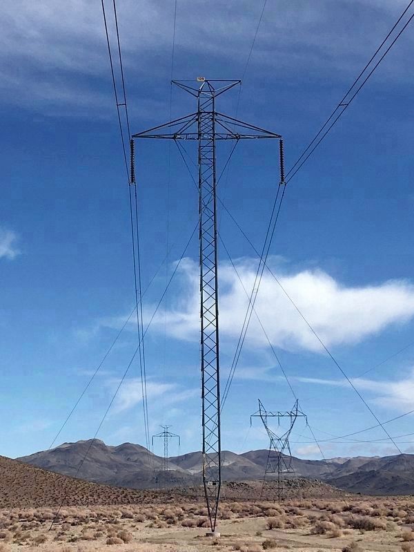
Location. 35° 56.802′ N, 117° 53.96′ W. Marker is near Ridgecrest, California, in Inyo County. Marker can be reached from Cinder Road. Located near an un-named, rough dirt road, five miles off US-395 via Cinder Road and a power line road. Touch for map. Marker is in this post office area: Little Lake CA 93542, United States of America. Touch for directions.
Other nearby markers. At least 3 other markers are within 8 miles of this marker, measured as the crow flies. Fossil Falls (approx. 1.8 miles away); Listen Well, For This Story Must Be Told
(approx. 7.3 miles away); Coso Hot Springs (approx. 7.3 miles away).
Regarding Native Americans in the Owens Valley. A large deposit of obsidian is located six miles to the northeast, now within China Lake Naval Air Weapons Station and not accessible to the public. For thousands of years, Native Americans brought obsidian to nearby Fossil Falls to make tools.
Little Lake was enlarged when it was incorporated into the Los Angeles Aqueduct in 1905. There is no public access to the lake. Petroglyphs can be seen along shoreline cliffs when taking a rare private boat tour.
Credits. This page was last revised on August 20, 2023. It was originally submitted on April 6, 2022, by Craig Baker of Sylmar, California. This page has been viewed 962 times since then and 81 times this year. Photos: 1, 2, 3. submitted on April 6, 2022, by Craig Baker of Sylmar, California.


