Northampton in Hampshire County, Massachusetts — The American Northeast (New England)
Pomeroy
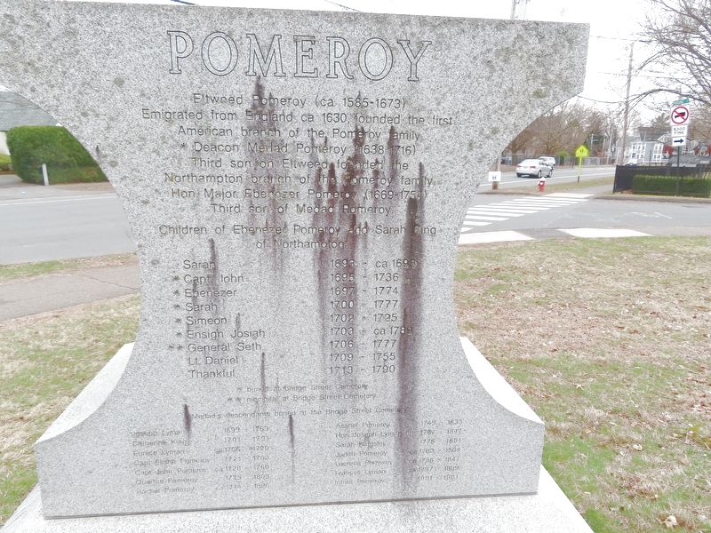
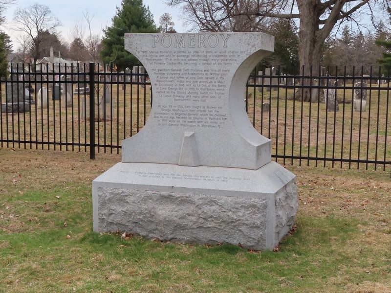
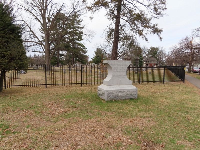
In 1660 Medad Pomeroy accepted an offer of tools, an anvil shaped like this replica, and land in exchange for opening a blacksmith shop in Northampton. That anvil was passed through many generations of Pomeroy blacksmiths becoming a symbol of the family.
His grandson, General Seth Pomeroy, was one of many Pomeroy gunsmiths and blacksmiths in Northampton. A patriot and father of nine, Seth served in the Massachusetts militia and saw action as a Major at Louisbourg in 1745 and as Lt. Col. at the Battle of Lake George, NY in 1755. In that battle, which started as the Bloody Morning Scout, his brother Lt. Daniel Pomeroy and many other sons of Northampton were lost.
At age 69 in 1775, Seth fought at Bunker Hill. George Washington then offered him the commission of Brigadier-General which he declined due to his age. He died of pleurisy in Peekskill, NY in 1777 while on the march with his militia unit to join General Washington in Morristown, NJ.
( inscriptions around the base of the monument )
5th Great Grandnephew o General Seth Pomeroy
5th great Grandson of Lt. Daniel Pomeroy
Brenton C. Pomeroy, (1891-1952) was the last Medad descendant to own the Pomeroy Anvil. It was acquired by the Historic Northampton Museum in 1953.
The Pomeroy Anvil Trail is a project supported by
Cxtec, Syracuse, NY
CXtec helps customers reduce thecost of their network infrastructure and technology equipment.
Erected 2006.
Topics. This historical marker is listed in these topic lists: Colonial Era • Settlements & Settlers. A significant historical year for this entry is 1660.
Location. 42° 19.476′ N, 72° 37.525′ W. Marker is in Northampton, Massachusetts, in Hampshire County. Marker is at the intersection of Bridge Street (Massachusetts Route 9) and Parsons Street, on the right when traveling west on Bridge Street. Touch for map. Marker is at or near this postal address: 156 Bridge Street, Northampton MA 01060, United States of America. Touch for directions.
Other nearby markers. At least 8 other markers are within walking distance of this marker. Liberty Tree Memorial (about 300 feet away, measured in a direct line); BPOE Veterans Monument (about 400 feet away); Pomeroy Terrace (about 600 feet away); Cornet Joseph Parsons (approx. 0.2 miles away); Masonic Block (approx. 0.4 miles away); Smith Charities (approx. 0.4 miles away); Calvin Coolidge (approx. 0.4 miles away); Northampton Gulf War Monument (approx. 0.4 miles away). Touch for a list and map of all markers in Northampton.
Credits. This page was last revised on April 6, 2022. It was originally submitted on April 6, 2022, by Michael Herrick of Southbury, Connecticut. This page has been viewed 157 times since then and 11 times this year. Photos: 1, 2, 3, 4. submitted on April 6, 2022, by Michael Herrick of Southbury, Connecticut.


