Northampton in Hampshire County, Massachusetts — The American Northeast (New England)
The Manse
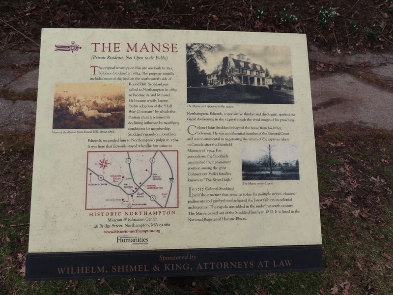
(Private Residence, Not Open to the Public). The original structure on this site was built by Rev. The Manse as it appeared in the 1930s: included most of the land on the southeasterly side of Round Hill. Stoddard was called to Northampton in 1669 to become its 2nd Minister. He became widely known for his adoption of the "Half Way Covenant” by which the Puritan church retained its declining influence by modifying conditions for membership. Stoddard's grandson, Jonathan Edwards, succeeded him to Northampton's pulpit in 1729. It was here that Edwards stayed when he first came to Northampton. Edwards, a speculative thinker and theologian, sparked the Great Awakening in the 1740s through the vivid images of his preaching.
Colonel John Stoddard inherited the house from his father, Solomon. He was an influential member of the General Court and was instrumental in negotiating the return of the captives taken to Canada after the Deerfield Massacre of 1704. For generations, the Stoddards maintained their prominent position among the great: Connecticut Valley families known as "The River Gods."
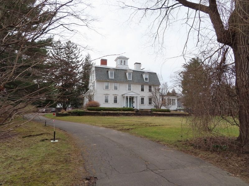
In 1737, Colonel Stoddard built the structure that remains today. Its multiple stories, classical pediments and gambrel roof reflected the latest fashion in colonial architecture. The cupola was added in the mid-nineteenth century. The Manse passed out of the Stoddard family in 1812. It is listed in the National Register of Historic Places. ( photo captions )
— View of the Manse from Round Hill, about 1860.
— The Manse around 1900. Erected by: Wilhelm, Shimel & King, Attorneys at Law
Topics. This historical marker is listed in this topic list: Notable Buildings. A significant historical year for this entry is 1669.
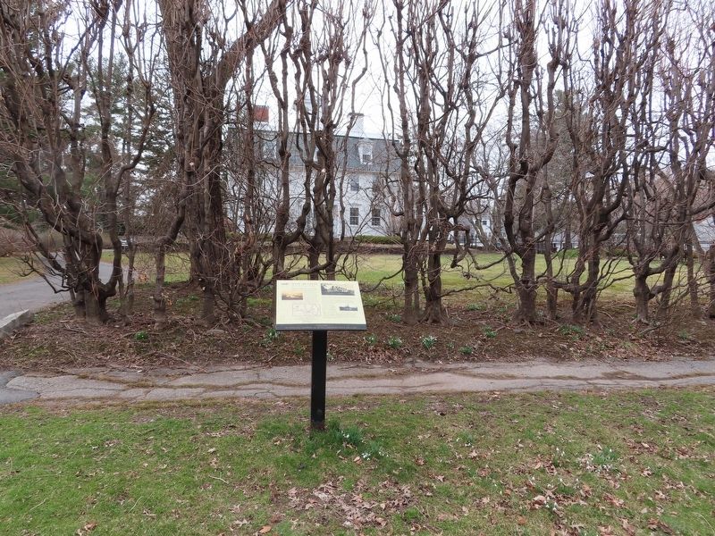
Location. 42° 19.344′ N, 72° 38.142′ W. Marker is in Northampton, Massachusetts, in Hampshire County. Marker is on Prospect Street north of Trumbull Road, on the left when traveling north. Touch for map. Marker is at or near this postal address: 54 Prospect Street, Northampton MA 01060, United States of America. Touch for directions.
Other nearby markers. At least 8 other markers are within walking distance of this marker. The Abolition Era: Elm Street & Round Hill (approx. 0.2 miles away); Calvin Coolidge (approx. 0.3 miles away); Third Meeting House Step (approx. 0.3 miles away); Shays' Rebellion (approx. 0.3 miles away); Hampshire County (approx. 0.3 miles away); Nonotuck (approx. 0.3 miles away); Daley & Halligan (approx. 0.3 miles away); The Old Bank (approx. 0.3 miles away). Touch for a list and map of all markers in Northampton.
Also see . . . The Manse (Northampton, Massachusetts). Wikipedia entry (Submitted on April 6, 2022, by Michael Herrick of Southbury, Connecticut.)
Credits. This page was last revised on April 18, 2023. It was originally submitted on April 6, 2022, by Michael Herrick of Southbury, Connecticut. This page has been viewed 158 times since then and 43 times this year. Photos: 1, 2, 3. submitted on April 6, 2022, by Michael Herrick of Southbury, Connecticut.


