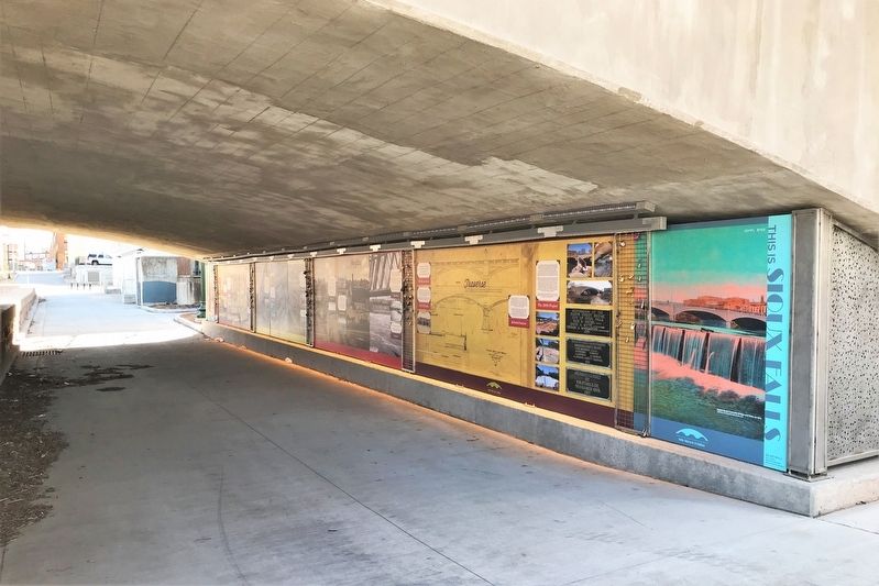
Downtown in Sioux Falls in Minnehaha County, South Dakota — The American Midwest (Upper Plains)
Overflow
— 8th Street Bridge —
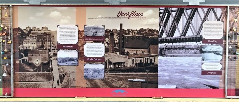
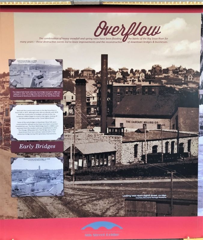
The combination of heavy snowfall and spring rains have been flooding the banks of the Big Sioux River for many years – these destructive events led to levee improvements and the reconstruction of downtown bridges & businesses.
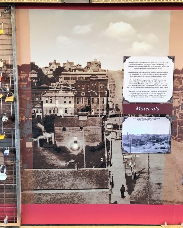
Materials
Bridges in Sioux Falls before the 1900s were primarily built from wood and iron. The original Tenth Street bridge and viaduct plans called for the bridge to be two spans of wrought iron trusses with columns and cross beams.
Once available, steel became the standard building material for bridges due to its high strength-to-weight ratio. All of South Dakota's remaining truss bridges today are steel.
The Eighth Street bridge was one of the first reinforced concrete bridges to be built in South Dakota. Concrete, a combination of cement, sand, and an aggregate, has been used in construction since ancient times but it was not until the 1880s that it became commonly used in the United States.
Concrete is strong in compression, but not in tension, which is why early engineers began reinforcing the concrete structures with steel bars to increase strength. Concrete structures today are reinforced in a similar matter.
image:
View of east bank of the Big Sioux River at Eighth Street bridge, ca 1908
Courtesy G.W. Fox, Library of Congress
image:
Sixth Street Bridge, ca 1908
Courtesy G.W. Fox, Library of Congress
The original Sixth Street vehicular truss bridge was built in 1889 and replaced in 1975. This bridge links the historic buildings of the Old Courthouse & Warehouse Historic District to the rest of Sioux Falls.
Early Bridges
Railroads first constructed tracks to the Big Sioux River in Sioux Falls in 1873, although trains did not operate until 1878. With the construction of multiple rail lines to the city, numerous settlers began to move to the region, kicking off the time period known as the 'Great Dakota Boom.'
Some of the early bridges in downtown Sioux Falls were constructed for railroad use but have since been converted to pedestrian use. The River Walk Bridge (built in 1888) is just upstream from this location and was rehabilitated in 2013. The Chicago, Milwaukee & St. Paul Bridge was located downstream from here and was replaced with a new pedestrian bridge during 2011 greenway improvements.
image:
Illinois Central railroad bridge, ca 1908
Courtesy G.W. Fox, Library of Congress
Flooding
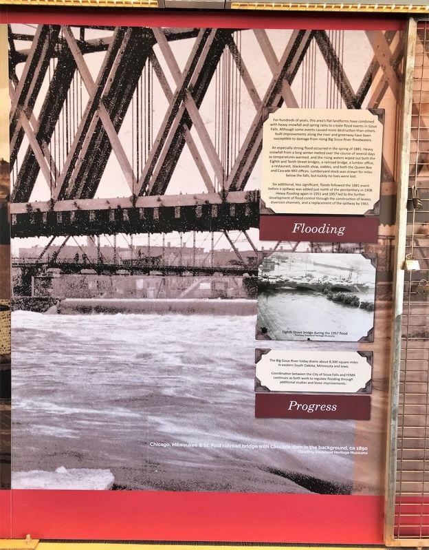
For hundreds of years, this area's flat landforms have combined with heavy snowfall and spring rains to create flood events in Sioux Falls. Although some events caused more destruction than others, built improvements along the river and greenway have been susceptible to damage from rising Big Sioux River floodwaters.
An especially strong flood occurred in the spring of 1881. Heavy snowfall from a long winter melted over the course of several days as temperatures warmed, and the rising waters wiped out both the Eighth and Tenth Street bridges, a railroad bridge, a lumber office, a restaurant, blacksmith shop, stables, and both the Queen Bee and Cascade Mill offices. Lumberyard stock was strewn for miles below the falls, but luckily no lives were lost.
Six additional, less significant, floods followed the 1881 event before a spillway was added just north of the penitentiary in 1908. Heavy flooding again in 1951 and 1957 led to the further development of flood control through the construction of levees, diversion channels, and a replacement of the spillway by 1961.
image:
Eighth Street bridge during the 1957 flood
Courtesy Siouxland Heritage Museums
Progress
The Big Sioux River today drains about 8,300 square miles in eastern South Dakota, Minnesota and Iowa.
Coordination between the City of Sioux Falls and FEMA continues as both work to regulate flooding through additional studies and levee improvements.
Backgrounds:
(left) Looking west down Eighth Street, ca 1890
Courtesy Siouxland Heritage Museums
(right) Chicago, Milwaukee & St. Paul railroad bridge with Cascade dam in the background, ca 1890
Courtesy Siouxland Heritage Museums
Erected 2021 by Confluence and the City of Sioux Falls.
Topics. This historical marker is listed in these topic lists: Bridges & Viaducts • Railroads & Streetcars • Waterways & Vessels. A significant historical year for this entry is 1873.
Location. 43° 32.918′ N, 96° 43.562′ W. Marker is in Sioux Falls, South Dakota, in Minnehaha County. It is in Downtown. Marker can be reached from East 8th Street east of North Phillips Avenue, on the right when traveling east. Located on the west side of the Big Sioux River, under the Eighth Street Bridge in Downtown Sioux Falls. Touch for map. Marker is at or near this postal address: 144 N Phillips Ave, Sioux Falls SD 57104, United States of America. Touch for directions.
Other nearby markers. At least 8 other markers are within walking distance of this marker. Course (here, next to this marker); Traverse (here, next to this marker); Launch (a few steps from this marker); 8th Street Bridge (a few steps from this marker); Cigar Manufacturing (within shouting distance of this marker); Cascade Mill (within shouting distance of this marker); Lumberyards (within shouting distance of this marker); Mill Dam Tragedy (within shouting distance of this marker). Touch for a list and map of all markers in Sioux Falls.
Related markers. Click here for a list of markers that are related to this marker.
Credits. This page was last revised on February 16, 2023. It was originally submitted on April 6, 2022. This page has been viewed 93 times since then and 12 times this year. Photos: 1. submitted on April 6, 2022. 2, 3, 4, 5. submitted on April 7, 2022.
