Near Brookings in Curry County, Oregon — The American West (Northwest)
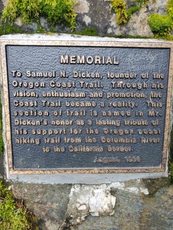
Memorial
Erected 1990.
Topics. This historical marker is listed in this topic list: Parks & Recreational Areas.
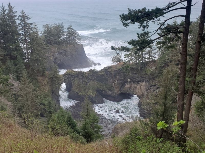
Location. 42° 11.405′ N, 124° 21.968′ W. Marker is near Brookings, Oregon, in Curry County. Marker is on Orgeon Coast Highway (U.S. 101 at milepost 346), on the right when traveling south. The marker is located at the Natural Bridges Viewpoint. Touch for map. Marker is in this post office area: Brookings OR 97415, United States of America. Touch for directions.
Other nearby markers. At least 5 other markers are within 11 miles of this marker, measured as the crow flies. Cape San Sebastian (approx. 10.3 miles away); The Japanese Attack on Oregon (approx. 10.4 miles away); March 11, 2011 Tsunami (approx. 10.8 miles away); Chetco Memorial — Chit-xu Village Site (approx. 11 miles away); History of the Chetco People (approx. 11 miles away).
More about this marker. The plaque is embedded in a boulder on the north end of the turnout.
Credits. This page was last revised on April 13, 2022. It was originally submitted on April 6, 2022, by Joseph Alvarado of Livermore, California. This page has been viewed 110 times since then and 21 times this year. Photos: 1, 2. submitted on April 6, 2022, by Joseph Alvarado of Livermore, California. • Syd Whittle was the editor who published this page.
Editor’s want-list for this marker. Wide area view of the marker and its surroundings. • Can you help?

