Stockton in San Joaquin County, California — The American West (Pacific Coastal)
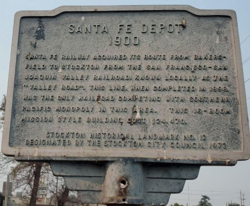
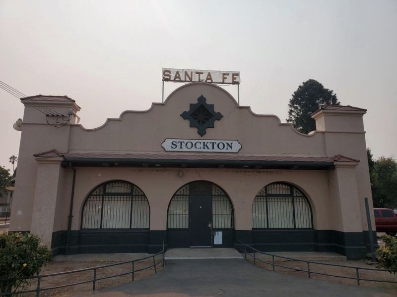
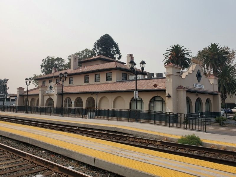
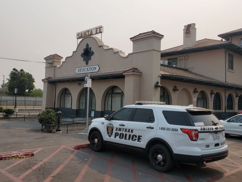
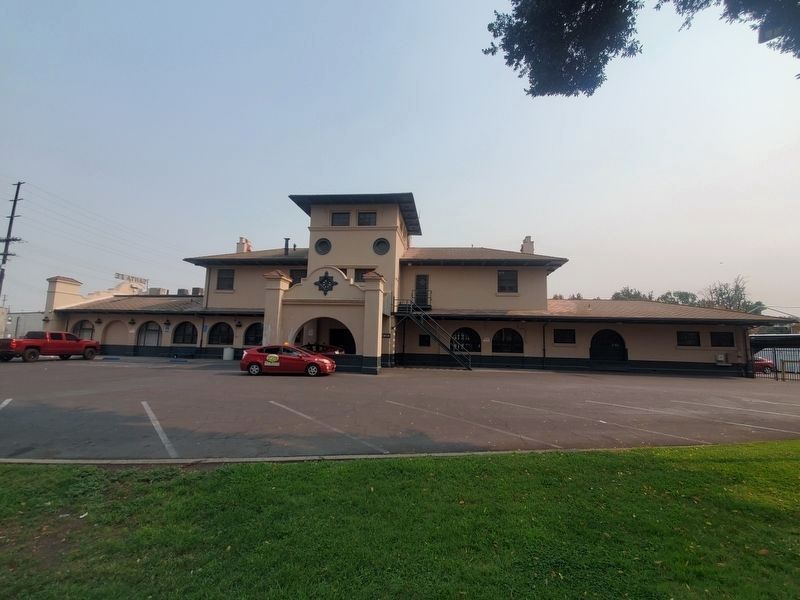
Santa Fe Depot
1900
Stockton Historical Landmark No. 12
Designated by the Stockton City Council 1972
Erected 1972 by City of Stockton. (Marker Number 12.)
Topics and series. This historical marker is listed in these topic lists: Architecture • Railroads & Streetcars. In addition, it is included in the Atchison, Topeka and Santa Fe Railway series list. A significant historical year for this entry is 1900.
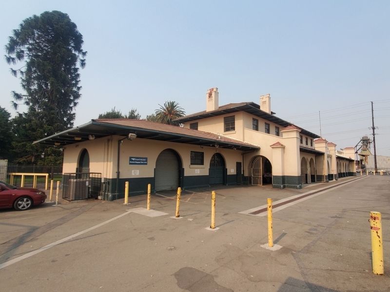
Location. 37° 56.718′ N, 121° 17.116′ W. Marker is in Stockton, California, in San Joaquin County. Marker is on South San Joaquin Street, on the right when traveling south. The plaque is mounted on a metal pole near the southeast corner of the building. Touch for map. Marker is at or near this postal address: 735 S San Joaquin Street, Stockton CA 95203, United States of America. Touch for directions.
Other nearby markers. At least 8 other markers are within walking distance of this marker. Moses Rogers Home (about 500 feet away, measured in a direct line); Ort J. Lofthus Crosstown Freeway (approx. 0.4 miles away); Saint Mary’s Catholic Church (approx. 0.4 miles away); California Building (approx. half a mile away); Fox California Theatre (approx. half a mile away); Commercial and Savings Bank (approx. 0.6 miles away); Stockton Savings and Loan Society Bank (approx. 0.6 miles away); Wong Mansion (approx. 0.6 miles away). Touch for a list and map of all markers in Stockton.
Credits. This page was last revised on July 1, 2022. It was originally submitted on April 8, 2022, by Joseph Alvarado of Livermore, California. This page has been viewed 135 times since then and 33 times this year. Photos: 1, 2, 3, 4, 5. submitted on April 8, 2022, by Joseph Alvarado of Livermore, California. 6. submitted on June 28, 2022, by Joseph Alvarado of Livermore, California. • Bill Pfingsten was the editor who published this page.
