Bucyrus in Crawford County, Ohio — The American Midwest (Great Lakes)
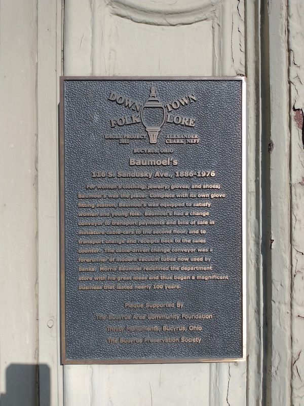
Baumoel's
116 S. Sandusky Ave., 1886-1976
| — | Downtown Folklore | — |
Photographed by Craig Doda, April 2, 2022
1. Baumoel's Marker
Erected 2011 by Eagle Project - Alexander Clark Neff.
Topics. This historical marker is listed in this topic list: Industry & Commerce.
Location. 40° 48.483′ N, 82° 58.533′ W. Marker is in Bucyrus, Ohio, in Crawford County. It is on South Sandusky Avenue (Ohio Route 4/98) just south of Washington Square, on the right when traveling north. Touch for map. Marker is at or near this postal address: 116 S Sandusky Ave, Bucyrus OH 44820, United States of America. Touch for directions.

Regionally,
this page online
Other nearby markers. At least 8 other markers are within walking distance of this marker: Sens Block (a few steps from this marker); Great American Crossroads Mural (within shouting distance of this marker); Picking Block (about 300 feet away, measured in a direct line); First Lieutenant Harry L. Martin (about 300 feet away); Crawford County Veterans Memorial (about 400 feet away); Col. William Crawford (about 400 feet away); Crawford County (about 400 feet away); 57 MM Gun (about 400 feet away). Touch for a list and map of all markers in Bucyrus.
Photographed by Craig Doda, April 2, 2022
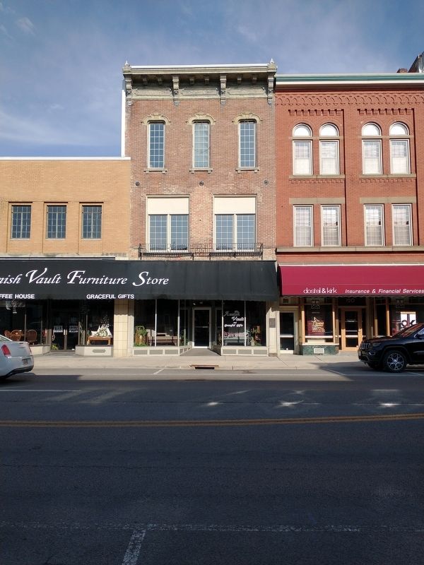
2. Baumoel's Marker
Credits. This page was last revised on November 11, 2024. It was originally submitted on April 9, 2022, by Craig Doda of Napoleon, Ohio. This page has been viewed 817 times since then and 91 times this year. Photos: 1, 2. submitted on April 9, 2022, by Craig Doda of Napoleon, Ohio. • Devry Becker Jones was the editor who published this page.
