South Riding in Loudoun County, Virginia — The American South (Mid-Atlantic)
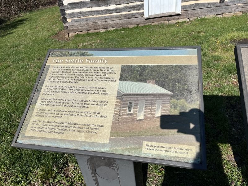
The Settle Family
The Settle Family descended from Francis Settle (1622-1708) of Potterton, Barwick-In-Elmet Parish, West Riding, Yorkshire, England. Sponsored by one Henry Williamson, Francis Settle arrived in North Farmham Parish, Old Rappahannock County, Virginia in 1656. His descendants migrated north in 1760 purchasing land in Cameron Parish of Loudoun County, Virginia.
Reuben Settle (1763-1814), a planter, married Naomi Lyne (1770-1836) in 1798. From this union was born Israel, Thomas, Nelson, Mary, Matilda, Elizabeth, Susan and Nancy.
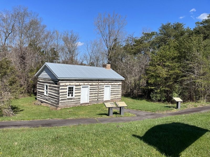
Thomas (1799-1890) a merchant and his brother Nelson (1801-1890) inherited over 142 acres upon the death of their father on which this cabin was built.
Thomas, Nelson and their sister, Susan (1807-1888), resided together on the land until their deaths. The three siblings never married.
The Settles owned enslaved Africans—notably the Dean family, whose members included Reuben and Martha, their children Fanny, Caroline, John, James, Charles, Millie (Matilda) and Amanda.
Topics. This historical marker is listed in these topic lists: African Americans • Colonial Era • Industry & Commerce • Settlements & Settlers. A significant historical year for this entry is 1656.
Location. 38° 54.032′ N, 77° 31.391′ W. Marker is in South Riding, Virginia, in Loudoun County. Marker is on Loudoun County Parkway (Virginia Route 606) just north of Braddock Road (Virginia Route 620), on the right when traveling south. Touch for map. Marker is at or near this postal address: 25925 Loudoun County Pkwy, Chantilly VA 20152, United States of America. Touch for directions.
Other nearby markers. At least 8 other markers are within 4 miles of this marker, measured as the crow flies. The Dean Family (here, next to this marker); The Settle-Dean Cabin (a few steps from this marker); The Village of Conklin (a few steps from this marker); What is Foamhenge at Cox Farms? (approx. 2.1 miles away); Campaign of Second Manassas (approx. 2½ miles away); Manassas Gap Railroad (approx. 3.8 miles away); Jennie Dean (approx. 3.9 miles away); Sudley Springs Ford (approx. 4.1 miles away). Touch for a list and map of all markers in South Riding.
Credits. This page was last revised on April 9, 2022. It was originally submitted on April 9, 2022, by Devry Becker Jones of Washington, District of Columbia. This page has been viewed 675 times since then and 123 times this year. Photos: 1, 2. submitted on April 9, 2022, by Devry Becker Jones of Washington, District of Columbia.

