Fremont in Sandusky County, Ohio — The American Midwest (Great Lakes)
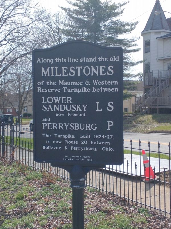
Along this line stand the old Milestones
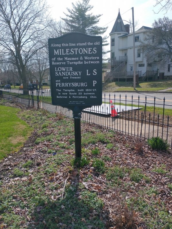
Along this line stand the old Milestones of the Maumee & Western Reserve Turnpike between Lower Sandusky LS now Fremont and Perrysburg P
The Turnpike, built 1824-27, is now Route 20 between Bellevue & Perrysburg, Ohio.
Erected 1966 by The Sandusky County Historical Society.
Topics. This historical marker is listed in these topic lists: Industry & Commerce • Roads & Vehicles. A significant historical year for this entry is 1824.
Location. 41° 20.668′ N, 83° 7.028′ W. Marker is in Fremont, Ohio, in Sandusky County. Marker is at the intersection of Birchard Avenue and South Park Avenue, on the right when traveling west on Birchard Avenue. Touch for map. Marker is at or near this postal address: 514 Birchard Ave, Fremont OH 43420, United States of America. Touch for directions.
Other nearby markers. At least 8 other markers are within walking distance of this marker. Joseph Bartlett House (within shouting distance of this marker); The Frederick Fabing House (about 300 feet away, measured in a direct line); Fort Stephenson (about 700 feet away); a different marker also named Fort Stephenson (about 700 feet away); Sandusky County World War II Honor Roll (approx. 0.2 miles away); Old Betsy (approx. 0.2 miles away); Fremont (approx. 0.2 miles away); Emerson Camp No. 53 (approx. 0.2 miles away). Touch for a list and map of all markers in Fremont.
Credits. This page was last revised on April 13, 2022. It was originally submitted on April 9, 2022, by Craig Doda of Napoleon, Ohio. This page has been viewed 115 times since then and 6 times this year. Photos: 1, 2. submitted on April 9, 2022, by Craig Doda of Napoleon, Ohio. • Devry Becker Jones was the editor who published this page.

