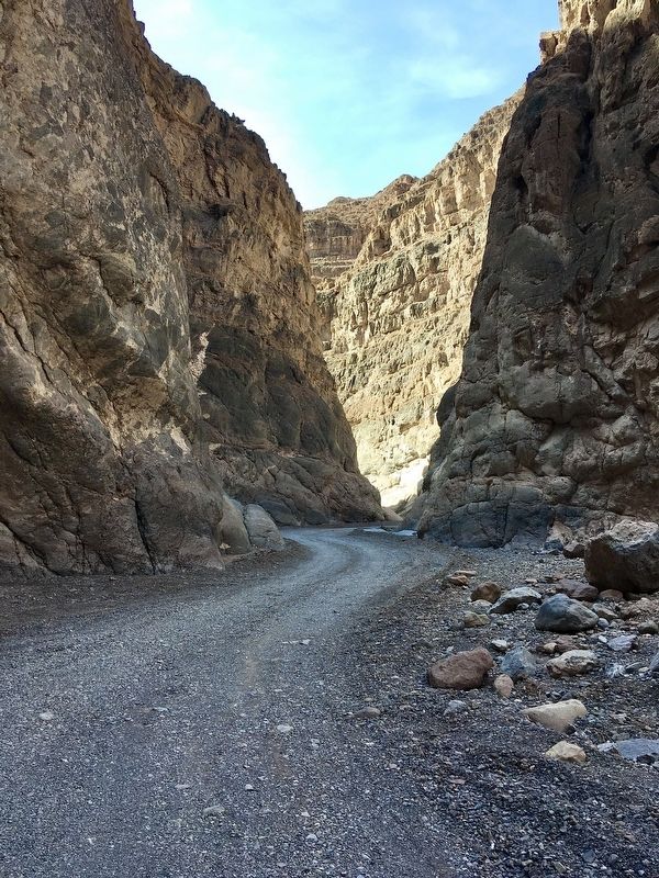
Death Valley National Park in Inyo County, California — The American West (Pacific Coastal)
Leadfield
Dreams and Schemes
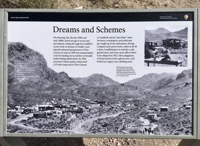
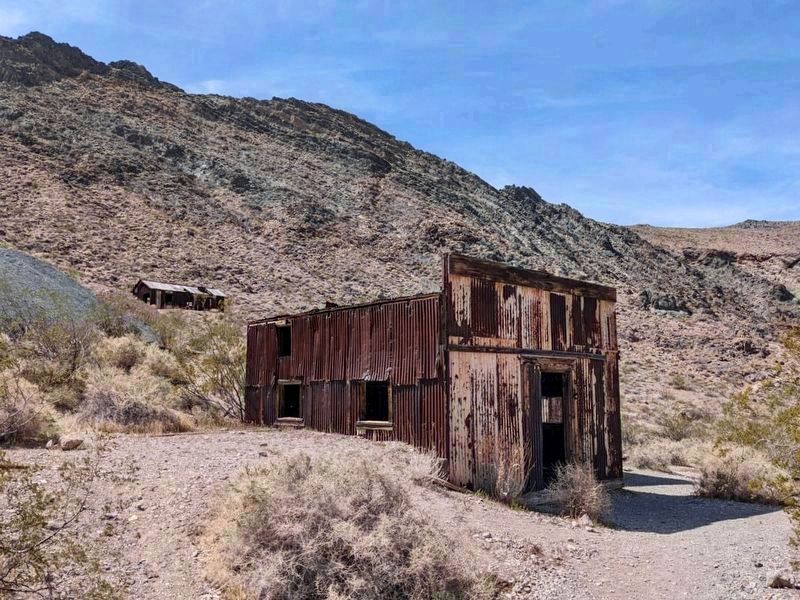
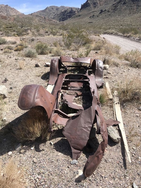
The Roaring '20s, like the 1990s and early 2000s, fueled an age of excess and speculation, setting the stage for Leadfield, a town built on dreams of wealth. Lead deposits attracted prospectors to Titus Canyon as early as 1905, but transportation costs for hauling ore to smelters eventually ended mining efforts there. In 1926, promoter Charles Julian constructed a 22-mile-long road in Titus Canyon to Leadfield and his "Jazz Baby" mine. Investors, newspapers, and politicians got caught up in the enthusiasm, driving company stock prices from a dime to $3.30 a share. Leadfield grew to include a café, general store, and even a post office before it all collapsed in 1927, when allegations of fraud turned it into a ghost town. Left behind as a legacy was a thrilling road.
photo caption:
Ninety private cars hired by promoter Charles Julian brought 340 investors to join 800 other potential buyers for a free lunch and entertainment by a six-piece band.
Erected by Death Valley National Park.
Topics. This historical marker is listed in these topic lists: Industry & Commerce • Natural Resources • Notable Places. A significant historical year for this entry is 1905.
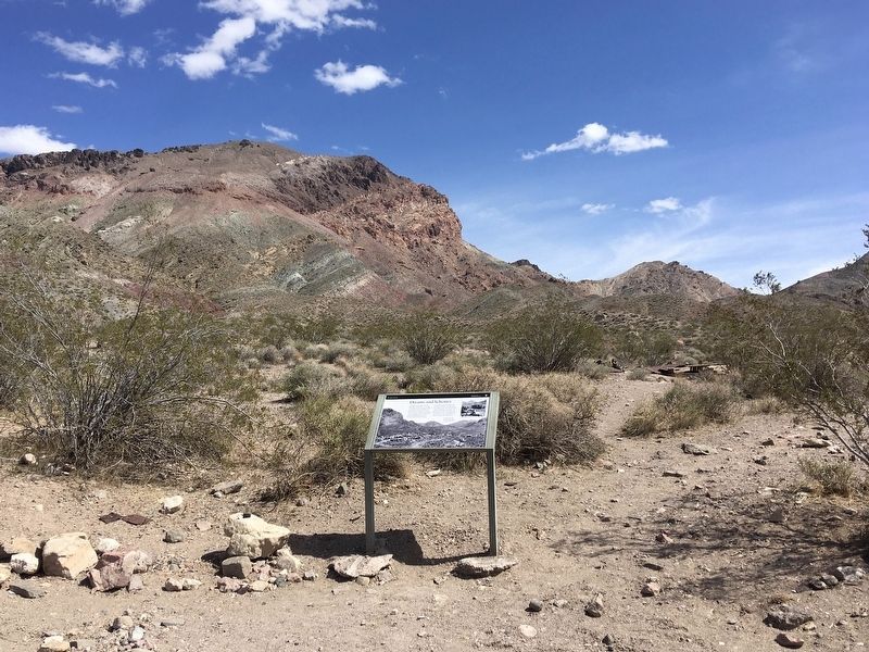
Location. 36° 50.899′ N, 117° 3.544′ W. Marker is in Death Valley National Park, California, in Inyo County. Marker is on Titus Canyon Road, 15 miles west of Highway 374, on the right when traveling west. High ground clearance vehicle required. The 27-mile one-way canyon road begins near Rhyolite Nevada. Touch for map. Marker is in this post office area: Death Valley CA 92328, United States of America. Touch for directions.
Other nearby markers. At least 4 other markers are within 15 miles of this marker, measured as the crow flies. A different marker also named Leadfield (a few steps from this marker); Petroglyphs (approx. 1.8 miles away); Old Stovepipe Wells (approx. 13.1 miles away); Keane Wonder Mine (approx. 14.9 miles away).
Credits. This page was last revised on April 19, 2022. It was originally submitted on April 9, 2022, by Craig Baker of Sylmar, California. This page has been viewed 131 times since then and 11 times this year. Photos: 1, 2. submitted on April 9, 2022, by Craig Baker of Sylmar, California. 3. submitted on April 18, 2022, by Craig Baker of Sylmar, California. 4, 5. submitted on April 9, 2022, by Craig Baker of Sylmar, California.
