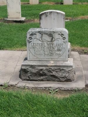
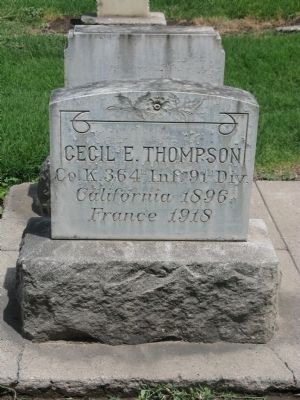
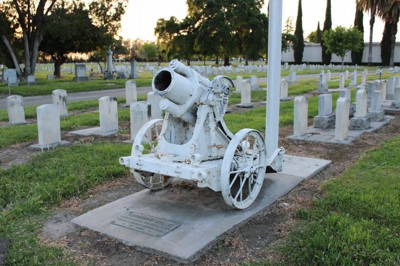
Manteca in San Joaquin County, California — The American West (Pacific Coastal)
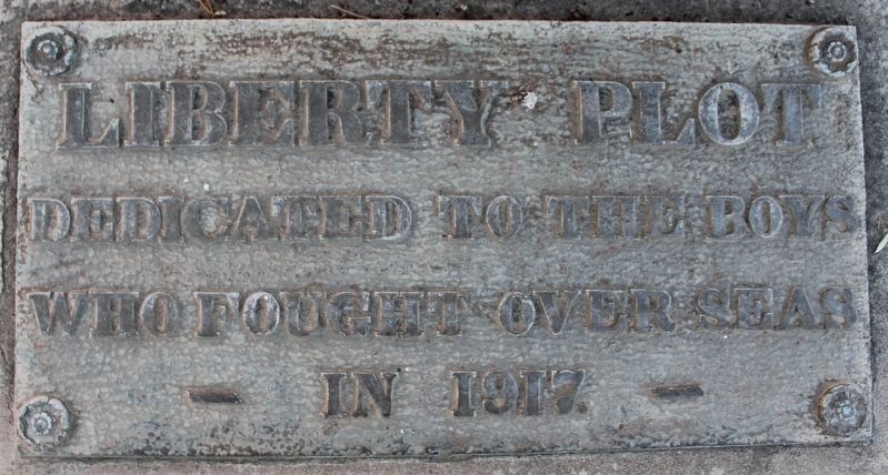
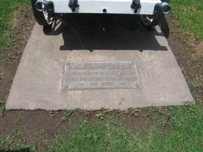
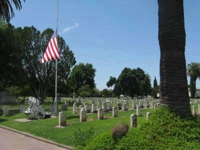
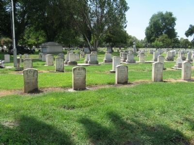
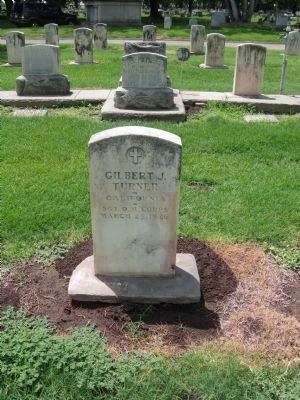
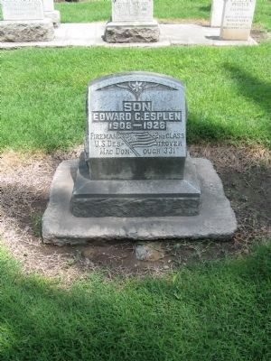
Liberty Plot
Who Fought Overseas
— In 1917 —
Topics. This historical marker is listed in these topic lists: Cemeteries & Burial Sites • Heroes • Military • War, World I. A significant historical year for this entry is 1917.
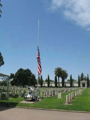
Location. 37° 51.739′ N, 121° 13.426′ W. Marker is in Manteca, California, in San Joaquin County. Marker can be reached from French Camp Road. Marker is located at Parkview Cemetery. Touch for map. Marker is at or near this postal address: 3661 French Camp Road, Manteca CA 95336, United States of America. Touch for directions.
Other nearby markers. At least 8 other markers are within 6 miles of this marker, measured as the crow flies. William Campbell (about 400 feet away, measured in a direct line); Finley’s Bar and Grill (approx. 1.8 miles away); French Camp (approx. 3 miles away); Lathrop (approx. 4.1 miles away); Lathrop Veteran’s Memorial (approx. 4.2 miles away); America's First Coast-to-Coast Road (approx. 4.8 miles away); California Chicory Works (approx. 5.2 miles away); Stockton Assembly Center (approx. 5.8 miles away).
Additional keywords. War Memorials
Credits. This page was last revised on May 8, 2023. It was originally submitted on June 1, 2009, by Syd Whittle of Mesa, Arizona. This page has been viewed 1,412 times since then and 9 times this year. Photos: 1. submitted on May 8, 2023, by Joseph Alvarado of Livermore, California. 2, 3, 4, 5, 6, 7, 8, 9, 10. submitted on June 1, 2009, by Syd Whittle of Mesa, Arizona. 11. submitted on May 8, 2023, by Joseph Alvarado of Livermore, California.
