Near Maryville in Blount County, Tennessee — The American South (East South Central)
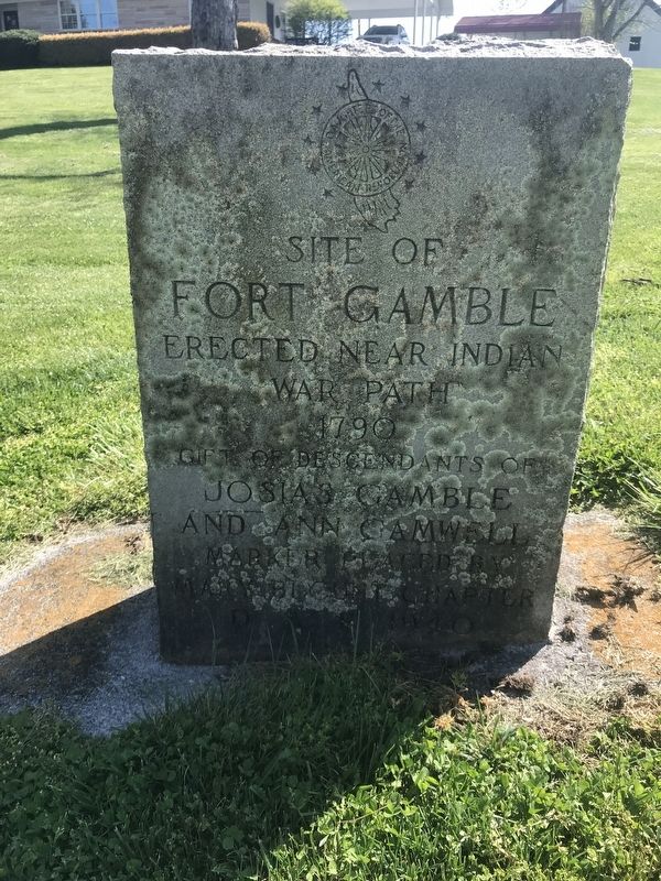
Site of Fort Gamble
War Path
1790
Gift of descendants of
Josias Gamble
and Ann Gamwell
Marker placed by
Mary Blount Chapter
DAR 1940
Erected 1940 by Mary Blount Chapter, Daughters of the American Revolution.
Topics and series. This historical marker is listed in these topic lists: Forts and Castles • Settlements & Settlers. In addition, it is included in the Daughters of the American Revolution series list. A significant historical year for this entry is 1790.
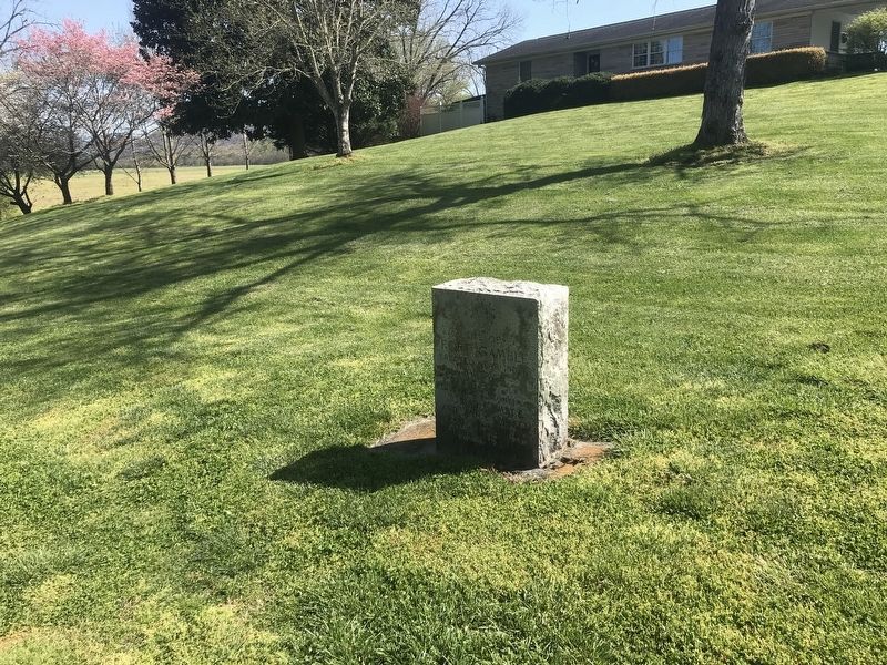
Location. 35° 45.945′ N, 83° 51.459′ W. Marker is near Maryville, Tennessee, in Blount County. Marker is on Tuckaleechee Pike east of Walland Gap Drive, on the right when traveling east. Touch for map. Marker is at or near this postal address: 4072 Tuckaleechee Pike, Walland TN 37886, United States of America. Touch for directions.
Other nearby markers. At least 8 other markers are within 6 miles of this marker, measured as the crow flies. Porter Academy (approx. 2.8 miles away); The Bethlehem Methodist Church (approx. 3 miles away); Gamble's Station (approx. 3.4 miles away); General Sam Houston (approx. 3˝ miles away); Sam Houston Schoolhouse (approx. 5.3 miles away); McTeer's Fort (approx. 5˝ miles away); Eusebia Church (approx. 5.7 miles away); Campbell Family Massacre (approx. 5.7 miles away). Touch for a list and map of all markers in Maryville.
Regarding Site of Fort Gamble. Josias Gamble (1749-1823) was a Revolutionary War soldier from Virginia. He built a house and fort on the Little River to provide protection for nearby settlers and others from as far away as Tuckaleechee Cove (7 miles away). According to a list of frontier stations compiled in December 1792, Gamble's Station was manned by 13 men commanded by Lt. William Reagan. In early 1793 some 80 men assembled here with plans to attack nearby Indian towns in retaliation for the killing of several settlers, but territorial Gov. William Blount traveled to Gamble's station to keep the peace.
Credits. This page was last revised on April 12, 2022. It was originally submitted on April 12, 2022, by Duane and Tracy Marsteller of Murfreesboro, Tennessee. This page has been viewed 331 times since then and 62 times this year. Photos: 1, 2. submitted on April 12, 2022, by Duane and Tracy Marsteller of Murfreesboro, Tennessee.

