Near Seymour in Sevier County, Tennessee — The American South (East South Central)
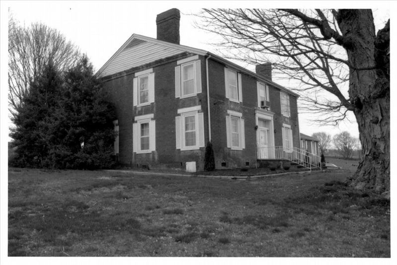
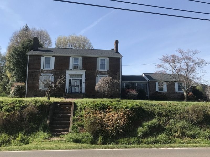
Keener-Johnson Farm
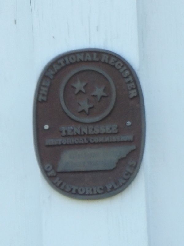
Tennessee
Historical Commission
[unreadable]
of Historic Places
Topics. This historical marker is listed in these topic lists: Agriculture • Architecture. A significant historical year for this entry is 1853.
Location. 35° 53.303′ N, 83° 43.75′ W. Marker is near Seymour, Tennessee, in Sevier County. Marker is on Boyds Creek Highway (Tennessee Route 338) east of North Shiloh Road, on the left when traveling east. Touch for map. Marker is at or near this postal address: 1112 Boyds Creek Hwy, Seymour TN 37865, United States of America. Touch for directions.
Other nearby markers. At least 8 other markers are within 5 miles of this marker, measured as the crow flies. Newell's Station (approx. 1.9 miles away); The Great Indian War Trail (approx. 2 miles away); Battle of Boyd's Creek (approx. 3.4 miles away); Knox County / Sevier County (approx. 3.6 miles away); Greek Revival (approx. 3.8 miles away); Wheatlands (approx. 4 miles away); Steamboat Times on the French Broad (approx. 4.2 miles away); Seven Islands Methodist Church (approx. 4˝ miles away). Touch for a list and map of all markers in Seymour.
Regarding Keener-Johnson Farm. Excerpt from the National Register nomination:
The farm's history begins in 1785 when John McCroskey received a North Carolina land grant of 3,000 acres, most of which was centered along Boyd's Creek in present-day Sevier County. John McCroskey shared the grant with William and Samuel McQauhey, also of North Carolina. In 1806 John Sharp, Jr., received a land grant from the State of Tennessee for part of the original McCroskey grant. Conflicting titles such as this one were not uncommon; in the great majority of cases, the Tennessee title was recognized as legitimate. Certainly part of the controversy ended when Robert Scott McCroskey, the son of John McCroskey, married Mary McChesney Sharp, the daughter of John Sharp, Jr. Robert and Mary Sharp McCroskey began to farm at the present location of the property by circa 1830. Their child, Mary Narcissa McCroskey, inherited 168 acres of the farm and after her marriage to Adam Harvey Keener, they built the present historic dwelling, the Keener House (#1), in 1853. …

via NPS, unknown
2. Keener-Johnson Farm
National Register of Historic Places Digital Archive on NPGallery website entry
Click for more information.
Click for more information.
Credits. This page was last revised on April 13, 2022. It was originally submitted on April 12, 2022, by Duane and Tracy Marsteller of Murfreesboro, Tennessee. This page has been viewed 332 times since then and 62 times this year. Photos: 1. submitted on April 12, 2022, by Duane and Tracy Marsteller of Murfreesboro, Tennessee. 2. submitted on April 13, 2022, by Larry Gertner of New York, New York. 3. submitted on April 12, 2022, by Duane and Tracy Marsteller of Murfreesboro, Tennessee.
Editor’s want-list for this marker. Complete inscription on marker • Clear closeup of marker • Can you help?

