Saratoga in Santa Clara County, California — The American West (Pacific Coastal)
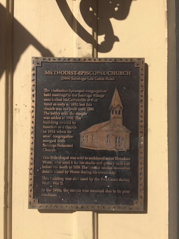
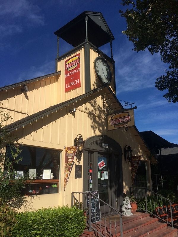
Methodist-Episcopal Church
20490 Saratoga-Los Gatos Road
This little chapel was sold to acclaimed artist Theodore Wores, who used it for his studio and gallery until just before his death in 1939. The interior retains decorative details added by Wores during his ownership.
This building was also used by the Red Cross in World War II.
In the 1950s, the steeple was removed due to its poor condition.
Topics. This historical marker is listed in these topic lists: Architecture • Churches & Religion • War, World II. A significant historical year for this entry is 1852.
Location. 37° 15.501′ N, 122° 1.896′ W. Marker is in Saratoga, California, in Santa Clara County. Marker is on Saratoga-Los Gatos Rd, on the right when traveling south. Touch for map. Marker is in this post office area: Saratoga CA 95070, United States of America. Touch for directions.
Other nearby markers. At least 8 other markers are within walking distance of this marker. Saratoga World War I Memorial (within shouting distance of this marker); Saratoga State Bank (about 400 feet away, measured in a direct line); Saratoga (about 400 feet away); John C. Hutchinson Building (about 800 feet away); Site of Martin McCarty's Toll Gate (about 800 feet away); Hutchinson /Cloud-Smith Store/Samuel Cloud House (approx. 0.2 miles away); McCarthy Building (approx. 0.2 miles away); Grover House (approx. 0.2 miles away). Touch for a list and map of all markers in Saratoga.
Credits. This page was last revised on April 29, 2022. It was originally submitted on April 13, 2022, by Adam Margolis of Mission Viejo, California. This page has been viewed 78 times since then and 13 times this year. Photos: 1, 2. submitted on April 13, 2022, by Adam Margolis of Mission Viejo, California. • Bill Pfingsten was the editor who published this page.

