Ruston in Lincoln Parish, Louisiana — The American South (West South Central)
Wesley Chapel United Methodist Church
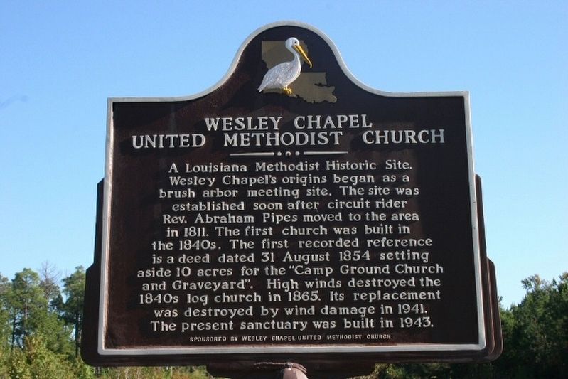
Photographed by Wesley Harris, October 11, 2007
1. Wesley Chapel United Methodist Church Marker
Erected by Wesley Chapel United Methodist Church.
Topics. This historical marker is listed in this topic list: Religion & Religious Structures. A significant historical date for this entry is August 31, 1854.
Location. 32° 28.095′ N, 92° 41.226′ W. Marker is in Ruston, Louisiana, in Lincoln Parish. It is on Louisiana Route 818 half a mile south of Beatty Road, on the right when traveling south. Touch for map. Marker is at or near this postal address: 4330 LA-818, Ruston LA 71270, United States of America. Touch for directions.

Regionally, this marker is in North Louisiana. It is also in the American South, specifically in the Deep
this page online
Other nearby markers. At least 8 other markers are within 5 miles of this marker, measured as the crow flies: Prehistoric Indian Village (approx. 2.2 miles away); Lincoln High School (approx. 3.8 miles away); Home Site of Charles P. Adams (approx. 3.8 miles away); Site of Allen Greene Normal and Industrial Bible Institute (approx. 4.9 miles away); Liberty Hill Baptist Association (approx. 4.9 miles away); The Pierian Rose Garden (approx. 5 miles away); V. S. & P. Railroad Depot (approx. 5 miles away); Tommy Lee Agee (approx. 5.1 miles away). Touch for a list and map of all markers in Ruston.
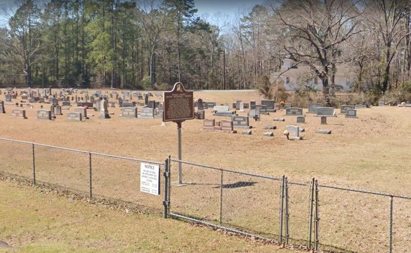
Photographed by Wesley Harris
2. Church cemetery and marker.
Credits. This page was last revised on April 16, 2022. It was originally submitted on April 13, 2022, by Wesley Harris of Ruston, Louisiana. This page has been viewed 729 times since then and 59 times this year. Photos: 1, 2. submitted on April 13, 2022, by Wesley Harris of Ruston, Louisiana. • Mark Hilton was the editor who published this page.
Editor’s want-list for this marker. Photo of the Wesley Chapel United Methodist Church. • Can you help?
