Dayton in Liberty County, Texas — The American South (West South Central)
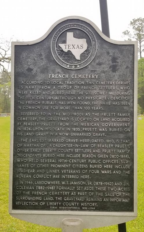
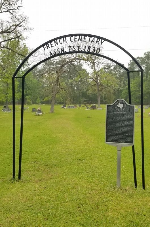
French Cemetery
Referred to in the mid-1800s as the Pruett Family Cemetery, the graveyard is located on land acquired by Beasley Pruett from the Mexican government in 1824. Upon his death in 1835, Pruett was buried on his land grant in a now-unmarked grave.
The earliest marked grave here, dated 1860, is that of Martha Day, a daughter-in-law of Beasley Pruett. Other early Liberty County settlers and Pruett family descendants buried here include Reason Green (1800-1868), who held several 19th-century public offices; surnames of other prominent citizens buried here include Brashear and Linney. Veterans of four wars and the Korean conflict are interred here.
In 1946, landowners W.T. Jamison, Sr. (1878-1962) and J.N. Coleman (1882-1948) formally set aside these two acres of the French Cemetery as part of the sale of the surrounding land. The graveyard remains an important reflection of liberty county history.
Erected 1986 by Texas Historical Commission. (Marker Number 9653.)
Topics. This historical marker is listed in this topic list: Cemeteries & Burial Sites. A significant historical year for this entry is 1824.
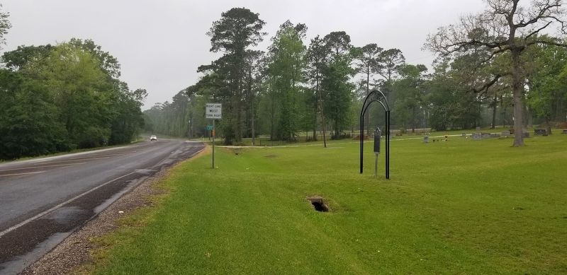
Location. 30° 4.748′ N, 94° 52.018′ W. Marker is in Dayton, Texas, in Liberty County. Marker is at the intersection of East Clayton Street (Farm to Market Road 1008) and Park Road, on the left on East Clayton Street. The marker is located in front of the cemetery along the highway. Touch for map. Marker is at or near this postal address: 2475 FM 1008, Dayton TX 77535, United States of America. Touch for directions.
Other nearby markers. At least 8 other markers are within 3 miles of this marker, measured as the crow flies. The Runaway Scrape (approx. 2.2 miles away); Judge Walter S. Neel Home (approx. 2.4 miles away); Annie Colbert - Rosenwald School (approx. 2.4 miles away); Dayton's Volunteer Fire Department (approx. 2.6 miles away); Early History of Dayton's African American Community (approx. 2.6 miles away); Dayton's Early Economy (approx. 2.6 miles away); The Murder of Louis "Frenchy" Cashat (approx. 2.6 miles away); 1937 Dayton City Hall (approx. 2.6 miles away). Touch for a list and map of all markers in Dayton.
Credits. This page was last revised on April 17, 2022. It was originally submitted on April 16, 2022, by James Hulse of Medina, Texas. This page has been viewed 149 times since then and 19 times this year. Photos: 1, 2, 3. submitted on April 17, 2022, by James Hulse of Medina, Texas.


