Bellingham in Norfolk County, Massachusetts — The American Northeast (New England)
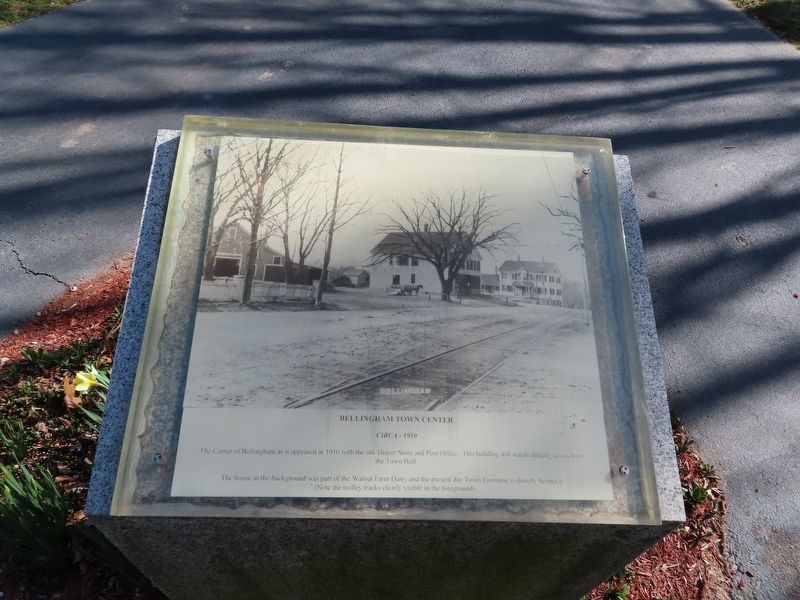
Bellingham Town Center
circa - 1910
The house in the background was part of the Walnut Farm Dairy and the present day Town Common is directly behind it.
(Note the trolley tracks clearly visible in the foreground).
Topics. This historical marker is listed in this topic list: Industry & Commerce. A significant historical year for this entry is 1910.
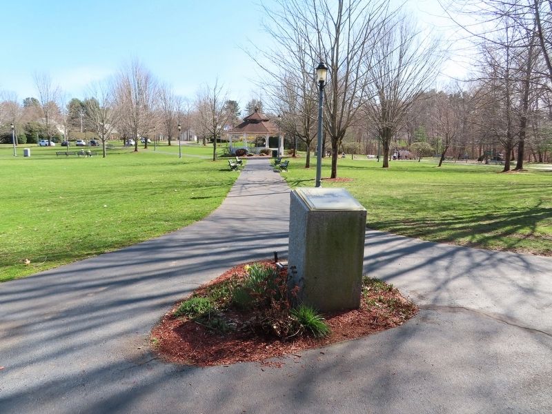
Location. 42° 5.32′ N, 71° 28.624′ W. Marker is in Bellingham, Massachusetts, in Norfolk County. Marker is at the intersection of Mendon Street (Massachusetts Route 140) and Thayer Road, on the left when traveling east on Mendon Street. Located in Bellingham Town Common. Touch for map. Marker is in this post office area: Bellingham MA 02019, United States of America. Touch for directions.
Other nearby markers. At least 8 other markers are within walking distance of this marker. Original Town Common (within shouting distance of this marker); Lyndon F. Murray Memorial Building (within shouting distance of this marker); Town Center (about 300 feet away, measured in a direct line); Maple Street North Bellingham (about 300 feet away); First Baptist Church (about 300 feet away); Governor Richard Bellingham (about 400 feet away); Bellingham Soldier’s Monument (about 500 feet away); Bellingham Veterans Monument (about 500 feet away). Touch for a list and map of all markers in Bellingham.
Also see . . .
1. Town of Bellingham. (Submitted on April 16, 2022, by Michael Herrick of Southbury, Connecticut.)
2. Bellingham, Massachusetts (Wikipedia). (Submitted on April 16, 2022, by Michael Herrick of Southbury, Connecticut.)
Credits. This page was last revised on April 16, 2022. It was originally submitted on April 16, 2022, by Michael Herrick of Southbury, Connecticut. This page has been viewed 138 times since then and 35 times this year. Photos: 1, 2. submitted on April 16, 2022, by Michael Herrick of Southbury, Connecticut.

