Jacksonville in Calhoun County, Alabama — The American South (East South Central)
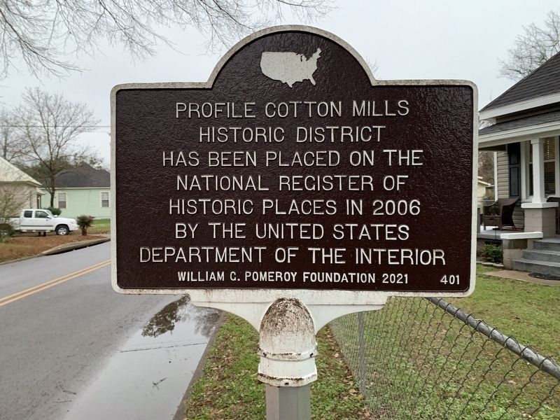
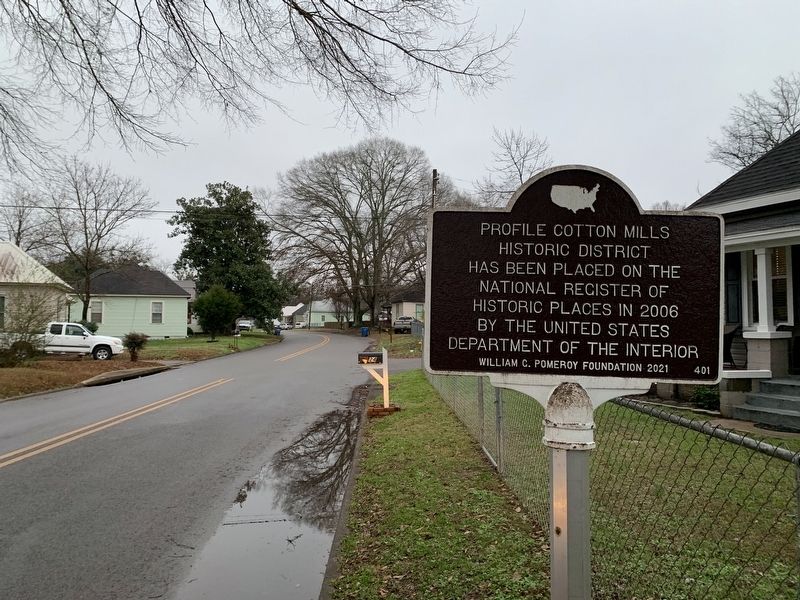
Profile Cotton Mills Historic District
Erected 2021 by William G. Pomeroy Foundation. (Marker Number 401.)
Topics. This historical marker is listed in this topic list: Settlements & Settlers. A significant historical year for this entry is 2006.
Location. 33° 48.759′ N, 85° 46.23′ W. Marker is in Jacksonville, Alabama, in Calhoun County. Marker is at the intersection of A Street Southwest and G Avenue Southwest, on the left when traveling west on A Street Southwest. Touch for map. Marker is in this post office area: Jacksonville AL 36265, United States of America. Touch for directions.
Other nearby markers. At least 8 other markers are within walking distance of this marker. Profile Cotton Mill Historic District (approx. 0.2 miles away); Chief Ladiga Trail - Jacksonville (approx. 0.4 miles away); Jacksonville, Alabama (approx. 0.4 miles away); The Depot (approx. 0.4 miles away); Doctor Francis' Office (approx. half a mile away); Site of Indian Trading Post (approx. half a mile away); 10th Alabama Volunteers (approx. half a mile away); John Tyler Morgan (approx. half a mile away). Touch for a list and map of all markers in Jacksonville.
Also see . . . Jacksonville, Alabama. (Submitted on April 16, 2022, by Tim Fillmon of Webster, Florida.)
Credits. This page was last revised on May 5, 2023. It was originally submitted on April 16, 2022, by Tim Fillmon of Webster, Florida. This page has been viewed 207 times since then and 33 times this year. Photos: 1, 2. submitted on April 16, 2022, by Tim Fillmon of Webster, Florida.

