Marysville in Union County, Ohio — The American Midwest (Great Lakes)
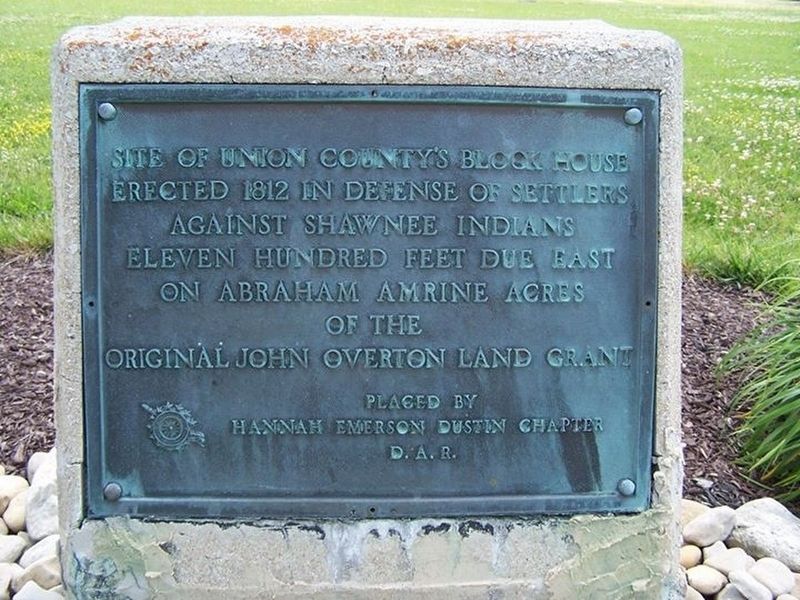
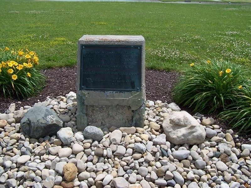
Site of Union County's Block House
Erected by Hannah Emerson Dustin Chapter, Daughters of the American Revolution.
Topics and series. This historical marker is listed in these topic lists: Forts and Castles • Native Americans • War of 1812. In addition, it is included in the Daughters of the American Revolution series list. A significant historical year for this entry is 1812.
Location. 40° 16.04′ N, 83° 23.88′ W. Marker is in Marysville, Ohio, in Union County. Marker is on Raymond Road (County Road 191) 0.4 miles south of Barker Road (County Road 139), on the right when traveling south. Touch for map. Marker is in this post office area: Marysville OH 43040, United States of America. Touch for directions.
Other nearby markers. At least 8 other markers are within 2 miles of this marker, measured as the crow flies. War of 1812 Blockhouse (within shouting distance of this marker); Amrine Settlement / Amrine Cemetery (approx. 1.2 miles away); Amerine Veterans Memorial (approx. 1.2 miles away); AMVETS Post 28 Veterans Memorial (approx. 1.6 miles away); DAR Revolutionary Veterans Memorial (approx. 1.6 miles away); Veterans of Foreign Wars War Memorial (approx. 1.6 miles away); Spanish American Veterans Memorial (approx. 1.7 miles away); Soldier's Circle (approx. 1.7 miles away). Touch for a list and map of all markers in Marysville.
Credits. This page was last revised on April 16, 2022. It was originally submitted on April 16, 2022, by Rev. Ronald Irick of West Liberty, Ohio. This page has been viewed 345 times since then and 47 times this year. Photos: 1, 2. submitted on July 8, 2014, by Rev. Ronald Irick of West Liberty, Ohio. • Devry Becker Jones was the editor who published this page.
Editor’s want-list for this marker. Verifying of the exact marker location • Can you help?

