Marietta in Cobb County, Georgia — The American South (South Atlantic)
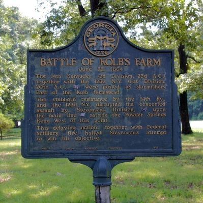
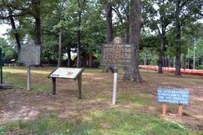
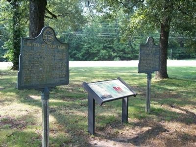
Battle of Kolb's Farm
June 22, 1864
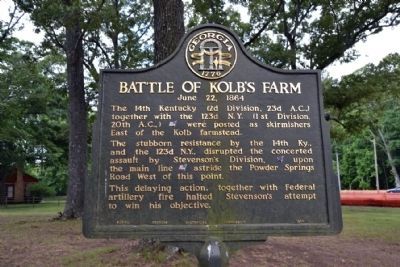
The stubborn resistance by the 14th Ky., and the 123d N.Y., disrupted the concerted assault by Stevensonís Division, [CS] upon the main line [US] astride the Powder Springs Road West of this point.
This delaying action, together with Federal artillery fire halted Stevensonís attempt to win his objective.
Erected 1952 by Georgia Historical Commission. (Marker Number 033-12.)
Topics and series. This historical marker is listed in this topic list: War, US Civil. In addition, it is included in the Georgia Historical Society series list.
Location. 33° 54.623′ N, 84° 35.82′ W. Marker is in Marietta, Georgia, in Cobb County. Marker is on Callaway Road SW, 0 miles south of Powder Springs Road SW (Georgia Route 360), on the right when traveling south. Touch for map. Marker is in this post office area: Marietta GA 30008, United States of America. Touch for directions.
Other nearby markers. At least 8 other markers are within walking distance of this marker. Kolb House (a few steps from this marker); a different marker also named Battle of Kolb's Farm (within shouting distance of this marker); Battle of Kolb's Farm - June 22, 1864 (within shouting distance of this marker); Wm. G. McAdoo's Birthplace (approx. 0.4 miles away); a different marker also named Battle of Kolb's Farm (approx. half a mile away); Historic Dickson House (approx. 0.7 miles away); a different marker also named Battle of Kolbís Farm (approx. 0.8 miles away); Powder Springs Road (approx. 0.9 miles away). Touch for a list and map of all markers in Marietta.
Additional commentary.
1. Marker History
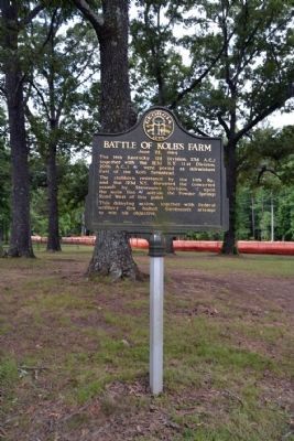
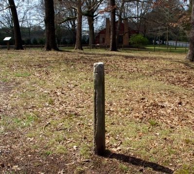
Some time between late 2007 and early 2009, this marker (#033-12) was removed but the supporting post remained. In spring 2009, the marker was repaired and re-installed. However, the two Georgia state markers at this location were switched in their location when this marker was re-installed. This marker (#033-12) was previously on the left (south) side of the National Park Service interpretive sign, but it is now on the right (north) side.
— Submitted June 16, 2015, by Duane Hall of Abilene, Texas.
Credits. This page was last revised on June 16, 2016. It was originally submitted on March 18, 2009, by David Seibert of Sandy Springs, Georgia. This page has been viewed 1,458 times since then and 30 times this year. Last updated on June 2, 2009, by David Seibert of Sandy Springs, Georgia. Photos: 1. submitted on March 18, 2009, by David Seibert of Sandy Springs, Georgia. 2, 3. submitted on June 16, 2015, by Duane Hall of Abilene, Texas. 4. submitted on March 18, 2009, by David Seibert of Sandy Springs, Georgia. 5. submitted on June 16, 2015, by Duane Hall of Abilene, Texas. 6. submitted on January 1, 2011, by Michael Dover of Ellerslie, Georgia. 7. submitted on March 18, 2009, by David Seibert of Sandy Springs, Georgia. • Kevin W. was the editor who published this page.
