Benedict in Charles County, Maryland — The American Northeast (Mid-Atlantic)
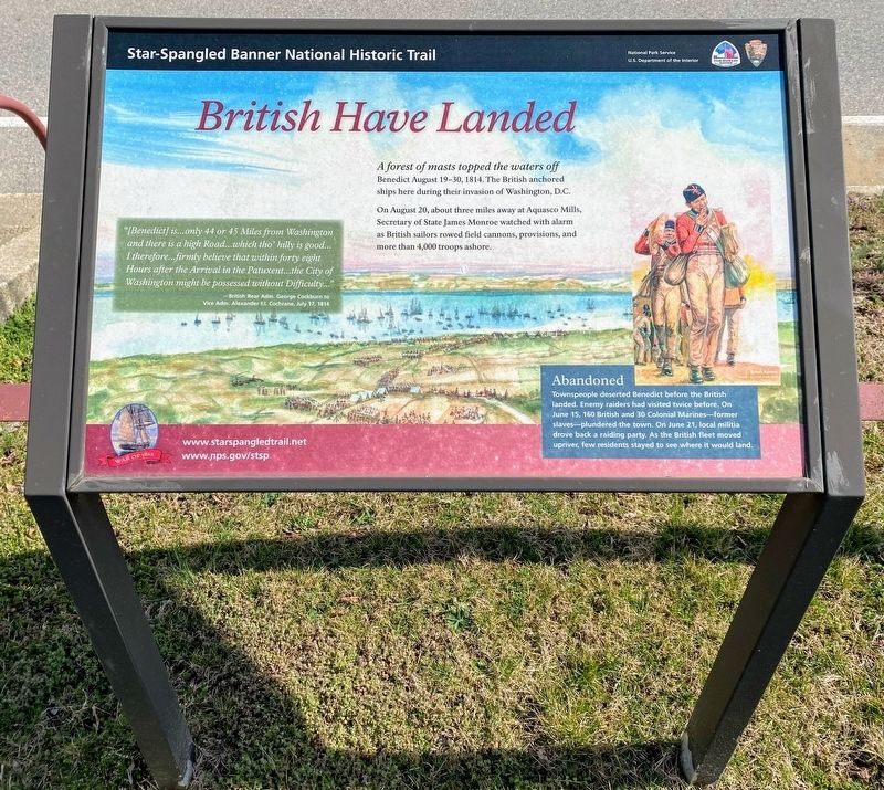
British Have Landed
Star-Spangled Banner National Historic Trail
| — | National Park Service, U.S. Department of the Interior | — |
Photographed by Shane Oliver, March 10, 2022
1. British Have Landed Marker
A forest of masts topped the waters off Benedict August 19-30, 1814. The British anchored ships here during their invasion of Washington, D.C. On August 20, about three miles away at Aquasco Mills, Secretary of State James Monroe watched with alarm as British sailors rowed field cannons, provisions, and more than 4,000 troops ashore.
Abandoned
Townspeople deserted Benedict before the British landed. Enemy raiders had visited twice before. On June 15, 160 British and 30 Colonial Marines - former slaves - plundered the town. On June 21, local militia drove back a raiding party. As the British fleet moved upriver, few residents stayed to see where it would land.
”[Benedict] is…only 44 or 45 miles from Washington and there is a high road…which tho’ hilly is good…I therefore…firmly believe that within forty eight Hours after the Arrival in the Patuxent…the City of Washington might be possessed without Difficulty…”
- British Rear Adm. George Cockburn to Vice Adm. Alexander F.I. Cochrane, July 17, 1814
Erected by National Park Service, U.S. Department of the Interior.
Topics and series. This historical marker
this page online
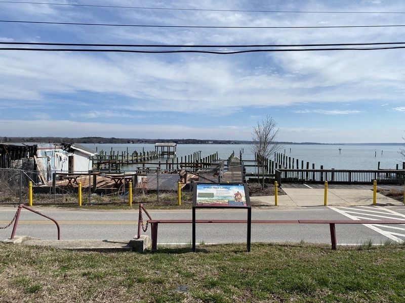
Location. 38° 30.61′ N, 76° 40.708′ W. Marker is in Benedict, Maryland, in Charles County. It is on Benedict Avenue 0.1 miles south of Potomac Avenue, on the right when traveling south. Marker is located at a small parking lot, overlooking the Patuxent River and the Benedict waterfront. Touch for map. Marker is at or near this postal address: 7320 Benedict Ave, Benedict MD 20612, United States of America. Touch for directions.

Regionally, this marker is in the Washington Metropolitan Area and in Southern Maryland. It is also in the American South, specifically in the Upper South, in the Mid-Atlantic, in the Tidewater, and on the Eastern Seaboard. Globally, it is in the North Atlantic Region, North America, the Western Hemisphere, the Western World, and the Anglosphere. Historically, it finds itself in what was once one of the original Thirteen Colonies and also the Antebellum South.
Other nearby markers. At least 8 other markers are within
Photographed by Shane Oliver, March 10, 2022
2. British Have Landed Marker
Another marker is no longer nearby. Camp Stanton (was approx. 0.4 miles away but has been confirmed missing).
Credits. This page was last revised on April 17, 2026. It was originally submitted on April 17, 2022, by Shane Oliver of Richmond, Virginia. This page has been viewed 509 times since then and 52 times this year. Photos: 1, 2. submitted on April 17, 2022, by Shane Oliver of Richmond, Virginia. • Bill Pfingsten was the editor who published this page.
