Near Garards Fort in Greene County, Pennsylvania — The American Northeast (Mid-Atlantic)
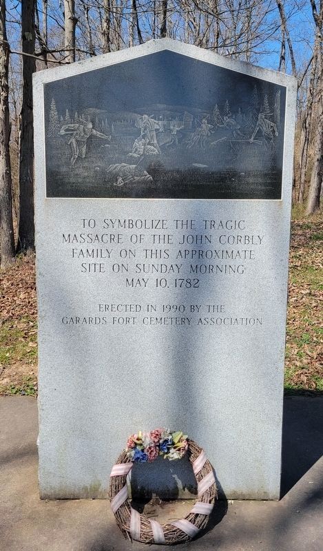
Corbly Massacre Monument
massacre of the John Corbly
family on this approximate
site on Sunday morning
May 10, 1782
Erected 1990 by The Garards Fort Cemetery Association.
Topics. This historical marker and monument is listed in this topic list: Cemeteries & Burial Sites. A significant historical date for this entry is May 10, 1782.
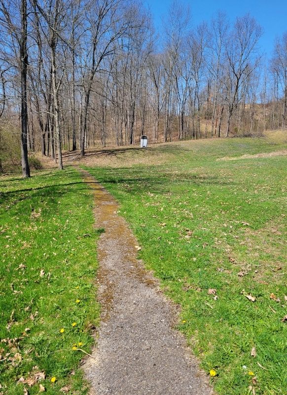
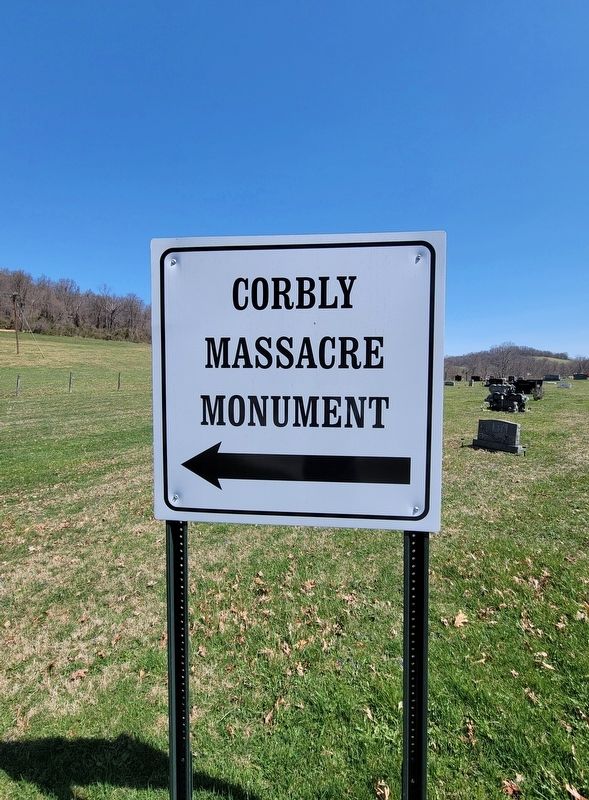
Location. 39° 48.982′ N, 80° 1.176′ W. Marker is near Garards Fort, Pennsylvania, in Greene County. Marker can be reached from Garards Fort Road (Pennsylvania Route 2011) west of Huggins Road, on the right when traveling west. Marker is located in the northwest corner of the Garards Fort Cemetery. Along the northernmost road inside the cemetary, a sign directs one to a parking area. A short walking path leads to the marker. Touch for map. Marker is at or near this postal address: 248 Garards Fort Road, Garards Fort PA 15334, United States of America. Touch for directions.
Other nearby markers. At least 8 other markers are within 3 miles of this marker, measured as the crow flies. In Remembrance of John Corbly and Family (about 400 feet away, measured in a direct line); Greene Township Veterans Memorial (about 600 feet away); Goshen Baptist Church (approx. 0.2 miles away); Fort Garard (approx. 0.2 miles away); Rev. John Corbley (approx. 0.2 miles away); Garard's Fort (approx. 0.4 miles away); a different marker also named Garard's Fort (approx. half a mile away); White Covered Bridge (approx. 2.3 miles away). Touch for a list and map of all markers in Garards Fort.
Credits. This page was last revised on April 25, 2022. It was originally submitted on April 17, 2022, by Bradley Owen of Morgantown, West Virginia. This page has been viewed 255 times since then and 40 times this year. Photos: 1, 2, 3. submitted on April 17, 2022, by Bradley Owen of Morgantown, West Virginia. • Bill Pfingsten was the editor who published this page.


