Hahira in Lowndes County, Georgia — The American South (South Atlantic)
Hahira High School
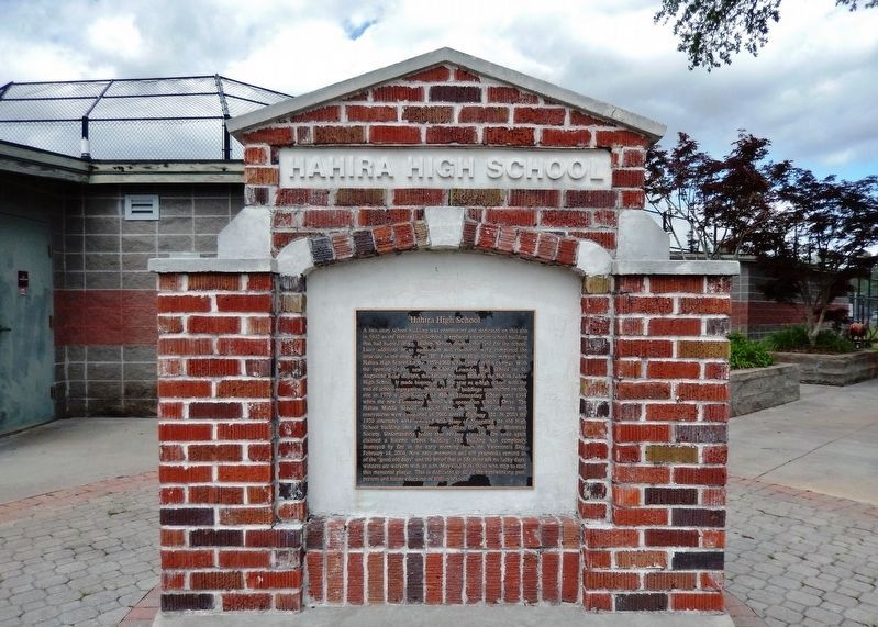
A two story school building was constructed and dedicated on this site in 1932 as the Hahira High School. It replaced an earlier school building that had burned down. Bishop Nelson donated the land for the school. Later additions of an auditorium and classroom wing completed the structure in the shape of an “H”. Pine Grove High School merged with Hahira High School for the 1959-1960 school year on this campus. With the opening of the new consolidated Lowndes High School on St. Augustine Road in 1966, this facility became home to the Hahira Junior High School. It made history in its last year as a high school with the end of segregation. With additional buildings constructed on this site in 1970 it also housed the Hahira Elementary School until 1994 when the new Elementary School was opened on Claudia Drive. The Hahira Middle School occupied these facilities until additions and renovations were completed in 2000 across Highway 122. In 2003 the 1970 structures were removed with plans of converting the old High School building into a museum or offices for the Hahira Historical Society. Unfortunately before that became a reality, fire once again claimed a historic school building. The building was completely destroyed by fire in the early morning hours on Valentine’s Day, February 14, 2004. Now only memories and old yearbooks remind us of the “good old days” and the belief that in life there are no lucky days; winners are workers with an aim. May God bless those who stop to read this memorial plaque. This is dedicated to all of the hardworking past, present and future educators of Hahira schools.
Topics. This historical marker is listed in these topic lists: African Americans • Architecture • Civil Rights • Education. A significant historical year for this entry is 1932.
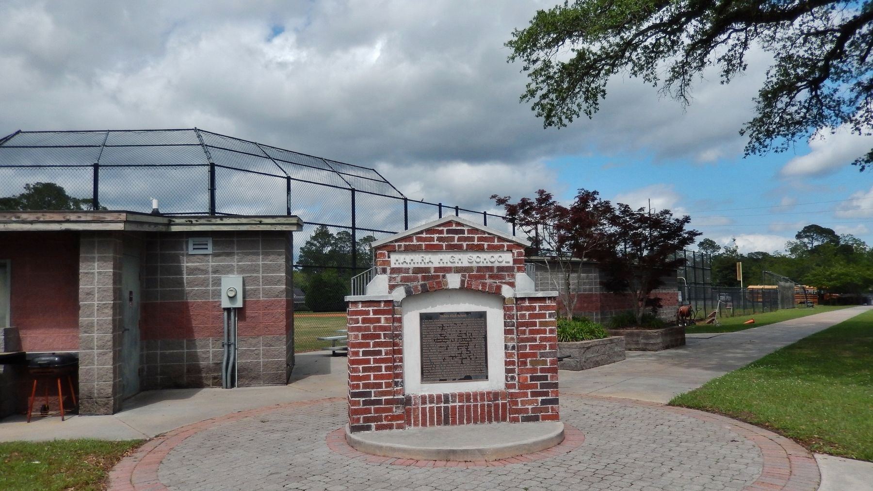
Location. 30° 59.509′ N, 83° 22.062′ W. Marker is in Hahira, Georgia, in Lowndes County. Marker is at the intersection of East Main Street (Georgia Route 122) and North Nelson Street, on the right when traveling west on East Main Street. Marker is located at the northeast corner of the intersection, in front of the Hahira Middle School sports field. Touch for map. Marker is in this post office area: Hahira GA 31632, United States of America. Touch for directions.
Other nearby markers. At least 8 other markers are within 10 miles of this marker, measured as the crow flies. Hahira Veterans Memorial (approx. 0.4 miles away); Old Coffee Road (approx. 4.3 miles away); Site: Franklinville (approx. 5.4 miles away); Mount Zion Camp Ground (approx. 8.1 miles away); a different marker also named Old Coffee Road (approx. 8.1 miles away); The Old Morven School (approx. 8.4 miles away); Barney Colored Elementary School (approx. 8.8 miles away); Site of Troupville (approx. 9.7 miles away). Touch for a list and map of all markers in Hahira.
Also see . . .
1. Blaze Destroys old Hahira School.
(2/14/2004) A suspicious fire broke out in the auditorium of the former Hahira Middle School on Main Street after midnight Saturday, destroying the entire structure. Volunteers from Barrets, Shiloh and North Lowndes fire departments joined dozens of firefighters from Hahira and Valdosta to battle the flames for more than five hours. Crews had to return to the scene on Sunday afternoon to extinguish hot spots which had again flared up. Only a few brick walls were still standing as the entire structure was completely gutted by the blaze.(Submitted on April 18, 2022, by Cosmos Mariner of Cape Canaveral, Florida.)
2. Historic Hahira High School Photos. (Submitted on April 18, 2022, by Cosmos Mariner of Cape Canaveral, Florida.)
Credits. This page was last revised on April 18, 2022. It was originally submitted on April 18, 2022, by Cosmos Mariner of Cape Canaveral, Florida. This page has been viewed 536 times since then and 114 times this year. Photos: 1, 2, 3, 4, 5, 6. submitted on April 18, 2022, by Cosmos Mariner of Cape Canaveral, Florida.


