Ironville in Essex County, New York — The American Northeast (Mid-Atlantic)
Ironville Historic District
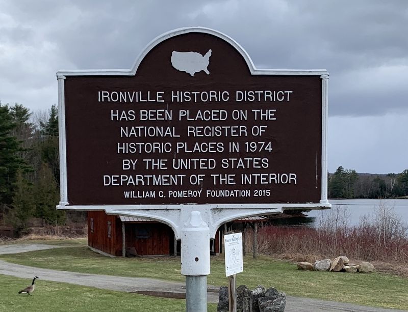
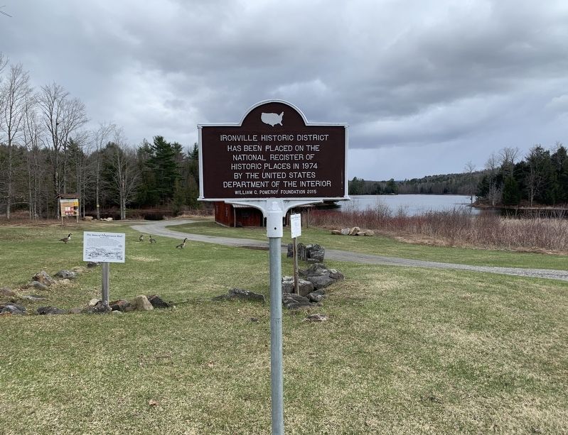
Ironville Historic District has been placed on the National Register of Historic Places in 1974 by the United States Department of the Interior
Erected 2015 by William G. Pomeroy Foundation.
Topics. This historical marker is listed in this topic list: Settlements & Settlers.
Location. 43° 55.336′ N, 73° 32.204′ W. Marker is in Ironville, New York, in Essex County. Marker is on Creek Road (County Route 2) 0.1 miles west of Whitehead Road, on the left when traveling west. Touch for map. Marker is at or near this postal address: 721 Creek Road, Crown Point NY 12928, United States of America. Touch for directions.
Other nearby markers. At least 8 other markers are within walking distance of this marker. The Birthplace of the Electrical Age (here, next to this marker); The Sons of Temperance Hall (here, next to this marker); Penfield Homestead Museum (within shouting distance of this marker); Historic Walking Tour (within shouting distance of this marker); Irondale (within shouting distance of this marker); a different marker also named Penfield Homestead Museum (within shouting distance of this marker); Penfield Pond (within shouting distance of this marker); 1873 Expansion (about 400 feet away, measured in a direct line). Touch for a list and map of all markers in Ironville.
Also see . . .
1. Ironville Historic District (Wikipedia). (Submitted on April 24, 2022, by Michael Herrick of Southbury, Connecticut.)
2. Ironville Historic District - National Archives. National Register of Historic Places documentation (Submitted on February 6, 2024, by Anton Schwarzmueller of Wilson, New York.)
Credits. This page was last revised on February 6, 2024. It was originally submitted on April 18, 2022, by Steve Stoessel of Niskayuna, New York. This page has been viewed 202 times since then and 21 times this year. Photos: 1, 2. submitted on April 18, 2022, by Steve Stoessel of Niskayuna, New York. • Michael Herrick was the editor who published this page.

