Watsonville in Santa Cruz County, California — The American West (Pacific Coastal)
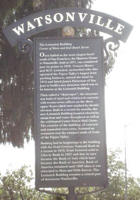
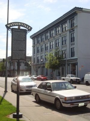
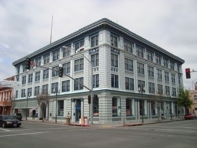
The Lettunich Building
Corner of Main and East Beach Streets
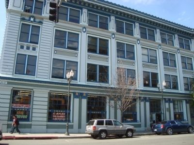
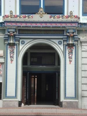
Then called a “skyscraper”, the structure was built of steel and reinforced concrete with twenty-seven offices on the three upper floors which were reached by electric elevator. Built in a record six months, the new Lettunich Building boasted electricity, steam heat and water throughout as well as the celebrated Cutter Patent Mail Chute. The exterior of the building, of concrete and enameled terra cotta, featured an ornament over the entrance made of fruits of the Pájaro Valley.
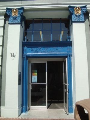
Banking had its beginning in the building with the Fruit Growers National Bank as a tenant in 1919. Fruit Growers sold to Liberty Bank in 1927 and that in turn became the Bank of Italy which later became the Bank of America. Bank of America remained until 1969 when it was relocated to Main and Fifth Streets. The Lettunich Building remains a central part of downtown Watsonville.
Topics. This historical marker is listed in these topic lists: Industry & Commerce • Notable Buildings. A significant historical year for this entry is 1871.
Location. 36° 54.639′ N, 121° 45.373′ W. Marker is in Watsonville, California, in Santa Cruz County. Marker is at the intersection of East Beach Street and Union Street, on the right when traveling east on East Beach Street. Touch for map. Marker is at or near this postal address: 24 East Beach Street, Watsonville CA 95076, United States of America. Touch for directions.
Other nearby markers. At least 8 other markers are within walking distance of this marker. This Gun Was Used (within shouting distance of this marker); The City Plaza (within shouting distance of this marker); The Mansion House (about 300 feet away, measured in a direct line); Kalich Building (about 400 feet away); A Year to Remember in Watsonville (about 400 feet away); Where Strawberries are Sweeter (about 500 feet away); Porter Building (about 600 feet away); Judge Julius Lee House (about 700 feet away). Touch for a list and map of all markers in Watsonville.
Credits. This page was last revised on April 20, 2022. It was originally submitted on April 27, 2012, by Barry Swackhamer of Brentwood, California. This page has been viewed 854 times since then and 25 times this year. Last updated on April 19, 2022, by Joseph Alvarado of Livermore, California. Photos: 1, 2, 3, 4, 5, 6. submitted on April 27, 2012, by Barry Swackhamer of Brentwood, California. • J. Makali Bruton was the editor who published this page.
