Thunder Bay in Thunder Bay District, Ontario — Central Canada (North America)
Black Bay Bridge
Designated Heritage Property 1989
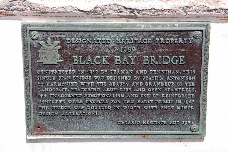
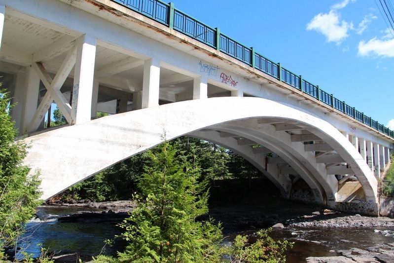
Constructed in 1912 by Seaman and Penniman, this single span bridge was designed by Joachim Antonisen to harmonize with the beauty and grandeur of the landscape. Featuring arch ribs and open spandrels, its unadorned functionalism and use of reinforced concrete were unusual for this early period. In 1963 the bridge was doubled in width with only minor design alterations.
Topics. This historical marker is listed in these topic lists: Architecture • Bridges & Viaducts. A significant historical year for this entry is 1912.
Location. 48° 28.144′ N, 89° 12.018′ W. Marker is in Thunder Bay, Ontario, in Thunder Bay District. It is on Arundel Street just west of Lyon Boulevard, on the right when traveling west. Marker is on a concrete wall on the westbound approach. Touch for map. Marker is in this post office area: Thunder Bay ON P7A P7A, Canada. Touch for directions.

Regionally, this marker is in Northern Ontario and specifically in Northwest Ontario. It is also in Central Canada. Globally, it is in North America, in the Great North Woods, on the Great Lakes, on Lake Superior’s North
this page online
Other nearby markers. At least 8 other markers are within 5 kilometers of this marker, measured as the crow flies: Rosvall and Voutilainen (approx. 1.1 kilometers away); Centennial of Confederation (approx. 1.1 kilometers away); Terrance Stanley Fox (approx. 2.9 kilometers away); Terry Fox (approx. 2.9 kilometers away); Historic Tyndall Stone (approx. 3.6 kilometers away); C.D. Howe (approx. 3.6 kilometers away); Sir William C. Van Horne (approx. 3.9 kilometers away); The Reverend Richard Baxter, S.J., 1821-1904 (approx. 3.9 kilometers away). Touch for a list and map of all markers in Thunder Bay.
Also see . . .
1. Black Bay Bridge. Historic Bridges website entry:
Details, specifications and photographs of the bridge. (Submitted on April 19, 2022, by Duane and Tracy Marsteller of Murfreesboro, Tennessee.)
2. Black Bay Bridge (PDF). City of Thunder Bay PDF
Additional
Credits. This page was last revised on October 24, 2023. It was originally submitted on April 19, 2022, by Duane and Tracy Marsteller of Murfreesboro, Tennessee. This page has been viewed 463 times since then and 38 times this year. Photos: 1, 2. submitted on April 19, 2022, by Duane and Tracy Marsteller of Murfreesboro, Tennessee.
Editor’s want-list for this marker. Wide shot of marker and surrounding area in context. • Can you help?
